13a, The Avenue, Dallington, Northampton, NN5 7AJ
About 13a
13a is a semi-detached house in Dallington, Northampton, Northampton (NN5 7AJ). It has a recorded floor area of 496 m² (around 5339 sq ft), construction records dating it to before 1900 and council tax band G. The latest certificate (March 2025) shows a C (score 72). The recommended improvements would push it to B (score 84).
It hasn't traded since April 2002, a hold of 24 years that's notably long for the area. At 496 m² the property is well over the postcode median (192 m² across 31 EPCs), placing it in the larger end of the local stock. Across 1998–2002, sale prices on this property compounded at 21.1% per year. Today's modelled estimate of £942,000 sits 161.7% above the 2002 sale of £360,000. On a £-per-square-foot basis, the last sale (£67/sq ft) was about 57.3% below the postcode norm. One planning record on file: tree works approved in 2019. Past consents include tree works, meaningful when judging how the property has evolved.
Know exactly what you're buying at 13a
Before you offer, see what the listing won't tell you, the true value, the red flags and the full history.
Already flagged here
Valuation
against the asking price
Risks
planning & flood
Sold prices
similar homes nearby
Trends
the local market
Energy performance
13a's carbon output runs well above what efficient homes in the postcode produce.
EPC Rating
Planning history
- Apr 2019Tree WorksTreesIn report
T1 Cedar - Remove dead and defective wood, crown thin by 20% and crown lift by 5m, including 1no larger limb over corner of house and 1no limb over barbecue
- Documents
- 8 docs on file
- Reference
- N/2019/0302
We flagged 2 things worth checking at 13a
Independent checks surfaced things a buyer would want to understand before offering. The report explains each one in full, with the underlying data and what to ask.
- Signs of HMO activity in the area
- Larger development activity nearby
30-day money-back guarantee
Sales history & valuation
13a's modelled value sits at over four times its earliest registered sale price (1998).
£942,000
Modelled from EPC, postcode comparables and a sale-price growth of 21.1% per year over 3 years.
£360,000
Growth on file: 21.1% per year over 3 years.
Sales timeline
18 April 2002Most recent
£360,000
+89.5%over 3 years14 December 1998
£190,000
Median price across the last 5 sales in NN5 7AJ: £711,000 (2025–2020).
Nearby sales in NN5 7AJ
3c, The Avenue, Dallington, Northampton, NN5 7AJ
Sold Oct 2025
£805,00011a, The Avenue, Dallington, Northampton, NN5 7AJ
Sold Sept 2024
£711,000Elmdale, The Avenue, Dallington, Northampton, NN5 7AJ
Sold Jan 2024
£500,00011e, The Avenue, Dallington, Northampton, NN5 7AJ
Sold Mar 2023
£674,0007 The Avenue, Dallington, Northampton, NN5 7AJ
Sold Jun 2020
£817,500
Everything we know about 13a, in one report
What it's really worth, what could be wrong, and the planning, sales and area data in full.
What we flagged
- Signs of HMO activity in the area
- Larger development activity nearby

Versus other The Avenue homes
13a is notably below the street on price per m².
Price per m²
£726
Street avg £2,384
Floor Area
496 m²
Street avg 241 m²
Habitable Rooms
9 rooms
Street avg 8 rooms
CO₂ Emissions
15.0 t/year
Street avg 10.1 t/year
Similar properties nearby
The neighbourhood at a glance
Crime
6/mo
Steady year-on-year across the wider district.
Nearest stop
0.2 km
Harlestone Road Surgery — bus stop.
Closest school
0.4 km
Lyncrest Primary School. 26 schools nearby.
Go deeper on the local area
The full report breaks down crime, transport links, schools and air quality in depth.
Road noise across the postcode
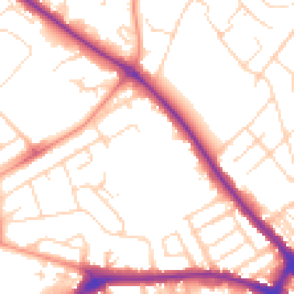
Daytime· 07:00 – 23:00
52.5dB

Night-time· 23:00 – 07:00
42.2dB