6 Brabham Close, Silverstone, Towcester, NN12 8UL
About 6 Brabham Close
6 Brabham Close is a property in Silverstone, Towcester, Towcester (NN12 8UL). It has council tax band C.
Held since July 2005 — that's 21 years off the open market, well above the local norm.
Know exactly what you're buying at 6 Brabham Close
Before you offer, see what the listing won't tell you, the true value, the red flags and the full history.
Already flagged here
Valuation
against the asking price
Risks
planning & flood
Sold prices
similar homes nearby
Trends
the local market
Energy performance
No EPC on record
This property doesn't have an Energy Performance Certificate yet. An EPC is required to sell or let — and unlocks our automated valuation.
Planning history
6 Brabham Close has no planning applications on record.
Notable planning nearby
16applications of note in the surrounding area
We flagged 1 thing worth checking at 6 Brabham Close
Independent checks surfaced things a buyer would want to understand before offering. The report explains each one in full, with the underlying data and what to ask.
- Larger development activity nearby
30-day money-back guarantee
Sales history & valuation
£170,000
Recorded with HM Land Registry.
Sales timeline
14 July 2005Most recent
£170,000
Median price across the last 5 sales in NN12 8UL: £288,000 (2023–2016).
Nearby sales in NN12 8UL
5 Brabham Close, Silverstone, Towcester, NN12 8UL
Sold Jul 2023
£275,0001 Brabham Close, Silverstone, Towcester, NN12 8UL
Sold Jan 2023
£377,0008 Brabham Close, Silverstone, Towcester, NN12 8UL
Sold Jul 2022
£490,0003 Brabham Close, Silverstone, Towcester, NN12 8UL
Sold Jul 2015
£224,0009 Brabham Close, Silverstone, Towcester, NN12 8UL
Sold Apr 2013
£162,500
Everything we know about 6 Brabham Close, in one report
What it's really worth, what could be wrong, and the planning, sales and area data in full.
What we flagged
- Larger development activity nearby

Similar properties nearby
1 Barrett Row, Bradden
NN12 8EF
1 Bengal View, Greens Norton
NN12 8BD
1 Bradden Road, Greens Norton
NN12 8BS
1 Cadogen Place, Abthorpe
NN12 8QS
1 Blacksmiths Close, Pattishall
NN12 8LA
1 Booth Close, Pattishall
NN12 8JP
1 Benham Road, Greens Norton
NN12 8DB
1 Bengal Cottages, Bengal, Greens Norton
NN12 8BG
The neighbourhood at a glance
Crime
2/mo
Steady year-on-year across the wider district.
Nearest stop
0.1 km
High Street — bus stop.
Closest school
1.1 km
Silverstone Church of England Primary School. 3 schools nearby.
Go deeper on the local area
The full report breaks down crime, transport links, schools and air quality in depth.
Road noise across the postcode
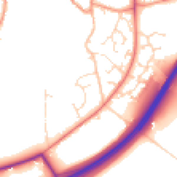
Daytime· 07:00 – 23:00
51.6dB

Night-time· 23:00 – 07:00
44.3dB