3 Austins Place, Murswell Lane, Silverstone, Towcester, NN12 8QF
About 3 Austins Place
3 Austins Place is a two-bedroom end-of-terrace house in Silverstone, Towcester, Towcester (NN12 8QF). It has a recorded floor area of 62 m² (around 667 sq ft) and construction records dating it to 1976-1982. The latest certificate (October 2023) shows a D (score 62), on the cusp of jumping into the C band. The recommended improvements would lift it to B (score 85), a 2-band jump. Other recorded features include outbuildings. Period features are noted in the property record.
Most recent transfer: May 2024 at £285,000.
Know exactly what you're buying at 3 Austins Place
Before you offer, see what the listing won't tell you, the true value, the red flags and the full history.
Already flagged here
Valuation
against the asking price
Risks
planning & flood
Sold prices
similar homes nearby
Trends
the local market
What this property has
Inside
- Bedrooms2
- Bathrooms1
Outside
- Private gardenYes
- ParkingOff road
- OutbuildingsYes
Building
- Period featuresYes
Energy performance
Recommended upgrades on file would lift this property by multiple EPC bands.
EPC Rating
Planning history
3 Austins Place has no planning applications on record.
Notable planning nearby
16applications of note in the surrounding area
We flagged 1 thing worth checking at 3 Austins Place
Independent checks surfaced things a buyer would want to understand before offering. The report explains each one in full, with the underlying data and what to ask.
- Larger development activity nearby
30-day money-back guarantee
Sales history & valuation
£296,000
Modelled from EPC, postcode comparables.
£285,000
Recorded with HM Land Registry.
Sales timeline
12 May 2024Most recent
£285,000
Median price across the last 1 sales in NN12 8QF: £275,000 (2025–2025).
Nearby sales in NN12 8QF
Everything we know about 3 Austins Place, in one report
What it's really worth, what could be wrong, and the planning, sales and area data in full.
What we flagged
- Larger development activity nearby

Similar properties nearby
1 Booth Close, Pattishall
NN12 8JP
1 Blakesley Hill, Greens Norton
NN12 8BP
1 Bradden Road, Greens Norton
NN12 8BS
1 Brabham Close, Silverstone
NN12 8UL
1 Birds Hill Road, Eastcote
NN12 8NF
1 Baines Close, Silverstone
NN12 8DG
1 Barrett Row, Bradden
NN12 8EF
1 Bengal Lane, Greens Norton
NN12 8BE
The neighbourhood at a glance
Crime
2/mo
Steady year-on-year across the wider district.
Nearest stop
0.2 km
Cach Yard Farm — bus stop.
Closest school
0.9 km
Silverstone Church of England Primary School. 3 schools nearby.
Go deeper on the local area
The full report breaks down crime, transport links, schools and air quality in depth.
Road noise across the postcode
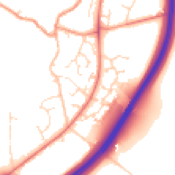
Daytime· 07:00 – 23:00
52.7dB

Night-time· 23:00 – 07:00
45.4dB