40 Brackley Road, Towcester, NN12 6DJ
About 40 Brackley Road
40 Brackley Road is a three-bedroom detached house in Towcester (NN12 6DJ). It has a recorded floor area of 88 m² (around 947 sq ft), construction records dating it to before 1900 and council tax band D. The latest certificate (March 2018) shows an E (score 40), well below the UK norm with real room to improve. The recommended improvements would lift it to C (score 78), a 2-band jump.
At 88 m² it's 17.3% larger than the typical home in the postcode (75 m² median across 41 EPCs). It lags the bulk of the postcode on energy efficiency (less efficient than 78% of similar EPCs). Across 2013–2018, sale prices on this property compounded at 9.3% per year. Today's modelled estimate of £342,000 is 37.9% above the 2018 sale price. On a £-per-square-foot basis, the last sale (£262/sq ft) was about 34.6% above the typical sold price in the postcode. Sold July 2018 for £248,000.
Know exactly what you're buying at 40 Brackley Road
Before you offer, see what the listing won't tell you, the true value, the red flags and the full history.
Already flagged here
Valuation
against the asking price
Risks
planning & flood
Sold prices
similar homes nearby
Trends
the local market
What this property has
Inside
- Bedrooms3
- Bathrooms1
Outside
- Private gardenYes
- GarageYes
Energy performance
40 Brackley Road's carbon output runs well above what efficient homes in the postcode produce.
EPC Rating
Planning history
40 Brackley Road has no planning applications on record.
Notable planning nearby
7applications of note in the surrounding area
We flagged 1 thing worth checking at 40 Brackley Road
Independent checks surfaced things a buyer would want to understand before offering. The report explains each one in full, with the underlying data and what to ask.
- Larger development activity nearby
30-day money-back guarantee
Sales history & valuation
40 Brackley Road valuation sits well clear of the typical sold price in this postcode.
£342,000
Modelled from EPC, postcode comparables and a sale-price growth of 9.3% per year over 5 years.
£248,000
Growth on file: 9.3% per year over 5 years.
Sales timeline
19 July 2018Most recent
£248,000
+55.0%over 4 years15 August 2013
£160,000
Median price across the last 5 sales in NN12 6DJ: £305,000 (2025–2024).
Nearby sales in NN12 6DJ
Everything we know about 40 Brackley Road, in one report
What it's really worth, what could be wrong, and the planning, sales and area data in full.
What we flagged
- Larger development activity nearby

Versus other Brackley Road homes
EPC Rating for 40 Brackley Road lags the street by a wide margin.
Price per m²
£2,818
Street avg £2,845
Floor Area
88 m²
Street avg 97 m²
Habitable Rooms
5 rooms
Street avg 4 rooms
CO₂ Emissions
7.6 t/year
Street avg 4.3 t/year
Similar properties nearby
1 Balmoral Close
NN12 6JA
1 Blake Close
NN12 6JN
1 Baden Powell Crescent
NN12 6DS
1 Brick Kiln Close
NN12 6TG
1 Barn Close
NN12 6LR
1 Blackwell Close
NN12 6AP
1 Amen Corner, Moat Lane
NN12 6AD
1 Belle Field
NN12 6AA
The neighbourhood at a glance
Crime
2/mo
Steady year-on-year across the wider district.
Nearest stop
0.0 km
Technology College — bus stop.
Closest school
0.1 km
Sponne School. 5 schools nearby.
Go deeper on the local area
The full report breaks down crime, transport links, schools and air quality in depth.
Road noise across the postcode
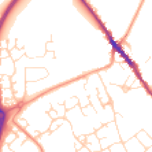
Daytime· 07:00 – 23:00
51.1dB

Night-time· 23:00 – 07:00
41.3dB