36 Elder Drive, Daventry, NN11 0XE
About 36 Elder Drive
36 Elder Drive is a three-bedroom detached house in Daventry (NN11 0XE). It has a recorded floor area of 72 m² (around 775 sq ft), construction records dating it to 1991-1995 and council tax band C. The latest certificate (April 2018) shows a C (score 69), just inside the C band. The recommended improvements would push it to B (score 85).
Most recent transfer was March 2025 at £290,000 — fresh data. Across 1996–2025, sale prices on this property compounded at 5.7% per year. On a £-per-square-foot basis, the last sale (£374/sq ft) was about 147.4% above the typical sold price in the postcode.
Know exactly what you're buying at 36 Elder Drive
Before you offer, see what the listing won't tell you, the true value, the red flags and the full history.
Valuation
against the asking price
Risks
planning & flood
Sold prices
similar homes nearby
Trends
the local market
What this property has
Inside
- Bedrooms3
- Bathrooms3
- Dining roomYes
- EnsuiteYes
Outside
- GarageYes
Energy performance
EPC Rating
Planning history
36 Elder Drive has no planning applications on record.
The full report still covers planning activity across the surrounding area.
Sales history & valuation
36 Elder Drive has more than quadrupled in price since its earliest registered sale in 1996.
£305,000
Modelled from EPC, postcode comparables and a sale-price growth of 5.7% per year over 28 years.
£290,000
Growth on file: 5.7% per year over 28 years.
Sales timeline
11 March 2025Most recent
£290,000
+243.2%over 25 years14 October 1999
£84,500
+41.0%over 3 years3 October 1996
£59,950
Median price across the last 5 sales in NN11 0XE: £300,000 (2025–2022).
Everything we know about 36 Elder Drive, in one report
What it's really worth, what could be wrong, and the planning, sales and area data in full.
- Am I paying too much?
- Is something wrong with it?
- Is the agent's story true?
- Will it hold its value?

Versus other Elder Drive homes
36 Elder Drive outperforms the street on price per m² by a wide margin.
Price per m²
£4,028
Street avg £2,442
Floor Area
72 m²
Street avg 83 m²
Habitable Rooms
5 rooms
Street avg 5 rooms
CO₂ Emissions
3.0 t/year
Street avg 3.0 t/year
Similar properties nearby
1 Amundsen Close
NN11 0TJ
1 Cheriton Close
NN11 0GD
1 Falconers Close
NN11 0PR
1 Acre Close
NN11 0PF
1 Harvest Close
NN11 0GX
1 Hillary Close
NN11 0SN
1 Burton Close
NN11 0TX
1 Gainsborough Way
NN11 0GE
The neighbourhood at a glance
Crime
2/mo
Steady year-on-year across the wider district.
Nearest stop
0.2 km
Poplar Close — bus stop.
Closest school
0.4 km
Ashby Fields Primary School. 11 schools nearby.
Go deeper on the local area
The full report breaks down crime, transport links, schools and air quality in depth.
Road noise across the postcode
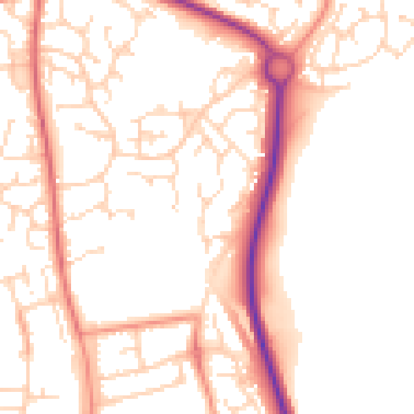
Daytime· 07:00 – 23:00
52.9dB

Night-time· 23:00 – 07:00
42.9dB