2 The Stook, Daventry, NN11 0SB
About 2 The Stook
2 The Stook is a semi-detached house in Daventry (NN11 0SB). It has a recorded floor area of 70 m² (around 753 sq ft), construction records dating it to 2003-2006 and council tax band C. The latest certificate (November 2025) shows a C (score 72). When first surveyed in April 2015 the rating was D, the property has climbed 1 band since. Between certificates, lighting went from Poor to Good; while window efficiency dropped from Average to Poor.
It hasn't traded since October 2001, a hold of 25 years that's notably long for the area. Today's modelled estimate of £247,000 sits 160.1% above the 2001 sale of £94,950. On a £-per-square-foot basis, the last sale (£126/sq ft) was about 24.3% below the postcode norm.
Know exactly what you're buying at 2 The Stook
Before you offer, see what the listing won't tell you, the true value, the red flags and the full history.
Valuation
against the asking price
Risks
planning & flood
Sold prices
similar homes nearby
Trends
the local market
Energy performance
EPC Rating
Property Improvements
Changes detected from historical EPC data
Floor insulation added or improved
More low energy lighting installed
Planning history
2 The Stook has no planning applications on record.
The full report still covers planning activity across the surrounding area.
Sales history & valuation
2 The Stook valuation sits well clear of the typical sold price in this postcode.
£247,000
Modelled from EPC, postcode comparables.
£94,950
Recorded with HM Land Registry.
Sales timeline
18 October 2001Most recent
£94,950
Median price across the last 5 sales in NN11 0SB: £230,000 (2025–2020).
Everything we know about 2 The Stook, in one report
What it's really worth, what could be wrong, and the planning, sales and area data in full.
- Am I paying too much?
- Is something wrong with it?
- Is the agent's story true?
- Will it hold its value?

Versus other The Stook homes
2 The Stook is notably below the street on price per m².
Price per m²
£1,356
Street avg £2,398
Floor Area
70 m²
Street avg 94 m²
Habitable Rooms
5 rooms
Street avg 5 rooms
CO₂ Emissions
2.4 t/year
Street avg 4.0 t/year
Similar properties nearby
1 Ashdown Road
NN11 0PZ
1 Harrow Lane
NN11 0GW
1 Harvest Close
NN11 0GX
1 Hawthorn Drive
NN11 0PU
1 Hillary Close
NN11 0SN
1 Daneholme Cottages, Ashby Road
NN11 0LD
1 Falconers Close
NN11 0PR
1 Cedar Close
NN11 0TY
The neighbourhood at a glance
Crime
2/mo
Steady year-on-year across the wider district.
Nearest stop
0.2 km
Scythe Road — bus stop.
Closest school
0.6 km
Ashby Fields Primary School. 10 schools nearby.
Go deeper on the local area
The full report breaks down crime, transport links, schools and air quality in depth.
Road noise across the postcode
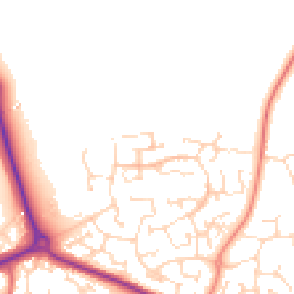
Daytime· 07:00 – 23:00
50.1dB

Night-time· 23:00 – 07:00
40.5dB