17 The Stook, Daventry, NN11 0SB
About 17 The Stook
17 The Stook is a detached house in Daventry (NN11 0SB). It has a recorded floor area of 116 m² (around 1249 sq ft), construction records dating it to 2003-2006 and council tax band E. The latest certificate (October 2019) shows a C (score 73). The recommended improvements would push it to B (score 87).
At 116 m² the property is well over the postcode median (72 m² across 18 EPCs), placing it in the larger end of the local stock. Sold August 2020 for £285,000. Across the public record there are 4 sales, relatively high churn for a single property. Across 2001–2020, sale prices on this property compounded at 2.7% per year. Today's modelled estimate of £366,000 is 28.4% above the 2020 sale price. On a £-per-square-foot basis, the last sale (£228/sq ft) was about 38.9% above the typical sold price in the postcode.
Know exactly what you're buying at 17 The Stook
Before you offer, see what the listing won't tell you, the true value, the red flags and the full history.
Valuation
against the asking price
Risks
planning & flood
Sold prices
similar homes nearby
Trends
the local market
Energy performance
EPC Rating
Planning history
17 The Stook has no planning applications on record.
The full report still covers planning activity across the surrounding area.
Sales history & valuation
17 The Stook changed hands twice within eighteen months — unusual for the area.
£366,000
Modelled from EPC, postcode comparables and a sale-price growth of 2.7% per year over 19 years.
£285,000
Growth on file: 2.7% per year over 19 years.
Sales timeline
13 August 2020Most recent
£285,000
-3.4%14 February 2020
£295,000
+27.2%over 12 years26 June 2007
£232,000
+34.1%over 5 years30 July 2001
£172,950
Median price across the last 5 sales in NN11 0SB: £230,000 (2025–2019).
Everything we know about 17 The Stook, in one report
What it's really worth, what could be wrong, and the planning, sales and area data in full.
- Am I paying too much?
- Is something wrong with it?
- Is the agent's story true?
- Will it hold its value?

Versus other The Stook homes
17 The Stook outperforms the street on habitable rooms by a wide margin.
Price per m²
£2,457
Street avg £2,337
Floor Area
116 m²
Street avg 92 m²
Habitable Rooms
7 rooms
Street avg 5 rooms
CO₂ Emissions
3.6 t/year
Street avg 4.0 t/year
Similar properties nearby
The neighbourhood at a glance
Crime
2/mo
Steady year-on-year across the wider district.
Nearest stop
0.2 km
Scythe Road — bus stop.
Closest school
0.6 km
Ashby Fields Primary School. 10 schools nearby.
Go deeper on the local area
The full report breaks down crime, transport links, schools and air quality in depth.
Road noise across the postcode
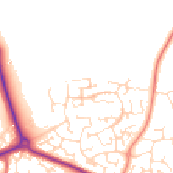
Daytime· 07:00 – 23:00
50.1dB

Night-time· 23:00 – 07:00
40.5dB