9 The Firs, Daventry, NN11 0PX
About 9 The Firs
9 The Firs is a three-bedroom end-of-terrace house in Daventry (NN11 0PX). It has a recorded floor area of 79 m² (around 850 sq ft), construction records dating it to 1967-1975 and council tax band B. The latest certificate (May 2019) shows a D (score 64), on the cusp of jumping into the C band. The recommended improvements would lift it to B (score 82), a 2-band jump.
Sold August 2019 for £180,000. Across the public record there are 6 sales, relatively high churn for a single property. Across 1997–2019, sale prices on this property compounded at 6% per year. Today's modelled estimate of £230,000 is 27.8% above the 2019 sale price. On a £-per-square-foot basis, the last sale (£212/sq ft) was about 44.2% above the typical sold price in the postcode.
Know exactly what you're buying at 9 The Firs
Before you offer, see what the listing won't tell you, the true value, the red flags and the full history.
Valuation
against the asking price
Risks
planning & flood
Sold prices
similar homes nearby
Trends
the local market
What this property has
Inside
- Bedrooms3
- Bathrooms1
- Dining roomYes
- EnsuiteYes
Outside
- GarageYes
Building
- Heating systemGas
- RefurbishedYes
Energy performance
Recommended upgrades on file would lift this property by multiple EPC bands.
EPC Rating
Planning history
9 The Firs has no planning applications on record.
The full report still covers planning activity across the surrounding area.
Sales history & valuation
9 The Firs has more than tripled in price since its earliest registered sale in 1997.
£230,000
Modelled from EPC, postcode comparables and a sale-price growth of 6.0% per year over 22 years.
£180,000
Growth on file: 6.0% per year over 22 years.
Sales timeline
15 August 2019Most recent
£180,000
+31.4%over 11 years28 March 2008
£137,000
+2.2%over 1 year11 May 2006
£134,000
+59.5%over 3 years23 July 2002
£84,000
+43.6%over 1 year1 December 2000
£58,500
+17.0%over 3 years25 September 1997
£50,000
Median price across the last 5 sales in NN11 0PX: £216,000 (2025–2023).
Everything we know about 9 The Firs, in one report
What it's really worth, what could be wrong, and the planning, sales and area data in full.
- Am I paying too much?
- Is something wrong with it?
- Is the agent's story true?
- Will it hold its value?

Versus other The Firs homes
Price per m²
£2,278
Street avg £2,344
Floor Area
79 m²
Street avg 82 m²
Habitable Rooms
4 rooms
Street avg 4 rooms
CO₂ Emissions
3.9 t/year
Street avg 3.8 t/year
Similar properties nearby
1 Harvest Close
NN11 0GX
1 Falconers Close
NN11 0PR
1 Amundsen Close
NN11 0TJ
1 Cheriton Close
NN11 0GD
1 Acre Close
NN11 0PF
1 Hawthorn Drive
NN11 0PU
1 Ashdown Road
NN11 0PZ
1 Harrow Lane
NN11 0GW
The neighbourhood at a glance
Crime
2/mo
Steady year-on-year across the wider district.
Nearest stop
0.1 km
Ashdown Road — bus stop.
Closest school
0.1 km
Falconer's Hill Academy. 11 schools nearby.
Go deeper on the local area
The full report breaks down crime, transport links, schools and air quality in depth.
Road noise across the postcode
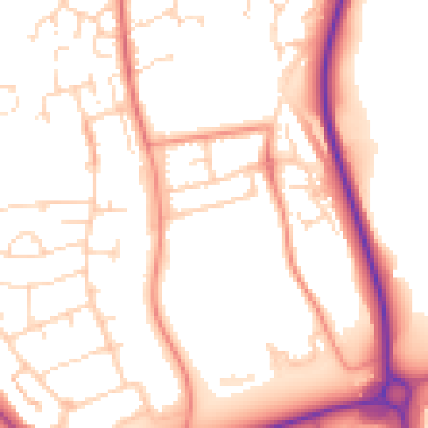
Daytime· 07:00 – 23:00
52.9dB

Night-time· 23:00 – 07:00
42.9dB