11 The Firs, Daventry, NN11 0PX
About 11 The Firs
11 The Firs is a three-bedroom mid-terrace house in Daventry (NN11 0PX). It has a recorded floor area of 69 m² (around 739 sq ft), construction records dating it to 1950-1966 and council tax band B. The latest certificate (November 2011) shows a D (score 68), on the cusp of jumping into the C band. The recommended improvements would push it to C (score 70). The latest certificate is from November 2011, so improvements made since then won't be reflected.
Untraded for 21 years, with the last transfer in December 2004. Across 2004–2004, sale prices on this property compounded at 19.9% per year. Today's modelled estimate of £200,000 sits 70.2% above the 2004 sale of £117,500. At 69 m² it's 17.2% smaller than the typical home in the postcode (83 m² median across 31 EPCs).
Know exactly what you're buying at 11 The Firs
Before you offer, see what the listing won't tell you, the true value, the red flags and the full history.
Valuation
against the asking price
Risks
planning & flood
Sold prices
similar homes nearby
Trends
the local market
What this property has
Inside
- Bedrooms3
Energy performance
11 The Firs's EPC is over a decade old — improvements since won't be reflected.
EPC Expired
This certificate is over 10 years old and is no longer valid.Expired 14 Nov 2021
EPC Rating
Planning history
11 The Firs has no planning applications on record.
The full report still covers planning activity across the surrounding area.
Sales history & valuation
11 The Firs changed hands twice within eighteen months — unusual for the area.
£200,000
Modelled from EPC, postcode comparables and a sale-price growth of 19.9% per year over 1 year.
£117,500
Growth on file: 19.9% per year over 1 year.
Sales timeline
16 December 2004Most recent
£117,500
+19.9%29 August 2004
£98,000
Median price across the last 5 sales in NN11 0PX: £216,000 (2025–2023).
Everything we know about 11 The Firs, in one report
What it's really worth, what could be wrong, and the planning, sales and area data in full.
- Am I paying too much?
- Is something wrong with it?
- Is the agent's story true?
- Will it hold its value?

Versus other The Firs homes
Years Held for 11 The Firs runs comfortably ahead of the street norm.
Price per m²
£1,710
Street avg £2,365
Floor Area
69 m²
Street avg 82 m²
Habitable Rooms
4 rooms
Street avg 4 rooms
CO₂ Emissions
2.7 t/year
Street avg 3.9 t/year
Similar properties nearby
1 Harvest Close
NN11 0GX
1 Falconers Close
NN11 0PR
1 Amundsen Close
NN11 0TJ
1 Cheriton Close
NN11 0GD
1 Acre Close
NN11 0PF
1 Cedar Close
NN11 0TY
1 Hawthorn Drive
NN11 0PU
1 Ashdown Road
NN11 0PZ
The neighbourhood at a glance
Crime
2/mo
Steady year-on-year across the wider district.
Nearest stop
0.1 km
Ashdown Road — bus stop.
Closest school
0.1 km
Falconer's Hill Academy. 11 schools nearby.
Go deeper on the local area
The full report breaks down crime, transport links, schools and air quality in depth.
Road noise across the postcode
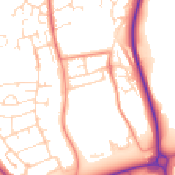
Daytime· 07:00 – 23:00
52.9dB

Night-time· 23:00 – 07:00
42.9dB