1 Ambridge Court, Upper Thrift Street, Northampton, NN1 5HR
About 1 Ambridge Court
1 Ambridge Court is a semi-detached house in Northampton (NN1 5HR). It has a recorded floor area of 55 m² (around 592 sq ft), construction records dating it to 1983-1990 and council tax band A. At 55 m² this is the 4th smallest of 6 units on EPC record in the building, where floor areas span 47–55 m². On EPC score it ranks last in the building (72 versus a best of 77). The latest certificate (March 2018) shows a C (score 72). The rating has held steady at C across 2 certificates since March 2009. Between certificates, window efficiency went from Very Poor to Good and lighting went from Average to Very Good; while hot-water efficiency dropped from Very Good to Good and main heating dropped from Very Good to Good.
At 55 m² it sits well below the postcode median (81 m² across 54 EPCs), making it one of the more compact homes locally.
Everything you need to know about 1 Ambridge Court
The true value, the hidden risks and the full sale history, in one report.
Pick your report · every report is £14.99
One time fee only - money back guarantee

The data behind every report


Energy performance
EPC Rating
Property Improvements
Changes detected from historical EPC data
Hot water efficiency decreased
Single glazing replaced with double or better glazing
More low energy lighting installed
Get a survey for this property
Level 2 HomeBuyer Report
We've checked 10 risk factors against the available data for this property and believe a Level 2 HomeBuyer Report could be a suitable option for you.
From £495 · Includes VAT
Planning history
1 Ambridge Court has no planning applications on record.
But the area is active
49 notable applications nearby — larger schemes and conversions that could reshape the street. The report maps them all.
Sales history & valuation
1 Ambridge Court has no Land Registry sales on file, suggesting it has stayed in the same hands since registration began.
£140,000
Modelled from EPC, postcode comparables.
No sales recorded with HM Land Registry
That can mean the property has never traded since the registry began publishing in 1995, was a new build that hasn't been registered yet, or is held in the same hands long-term.
Median price across the last 5 sales in NN1 5HR: £195,500 (2025–2024).
Nearby sales in NN1 5HR
79 Upper Thrift Street, Northampton, NN1 5HR
Sold Sept 2025
£239,00095 Upper Thrift Street, Northampton, NN1 5HR
Sold Aug 2025
£191,00074 Upper Thrift Street, Northampton, NN1 5HR
Sold Mar 2025
£195,50094 Upper Thrift Street, Northampton, NN1 5HR
Sold Dec 2024
£272,00085 Upper Thrift Street, Northampton, NN1 5HR
Sold Jul 2024
£190,000
Versus other Upper Thrift Street homes
EPC Rating
72 (C)
Street avg 67 (D)
Floor Area
55 m²
Street avg 51 m²
CO₂ Emissions
2.1 t/year
Street avg 2.4 t/year
Habitable Rooms
2 rooms
Street avg 3 rooms
Everything you need to know about 1 Ambridge Court
The true value, the hidden risks and the full sale history, in one report.
Pick your report · every report is £14.99
One time fee only - money back guarantee
The data behind every report
Similar properties nearby
The neighbourhood at a glance
Reported crime in the wider district is trending notably upward year-on-year.
Crime
11/mo
Rising year-on-year across the wider district.
Nearest stop
0.2 km
St Andrews Hospital — bus stop.
Closest school
0.2 km
Vernon Terrace Primary School. 25 schools nearby.
Go deeper on the local area
A Local Area report breaks down crime, transport links, schools and air quality in depth.
Road noise across the postcode
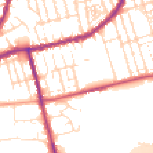
Daytime· 07:00 – 23:00
52.1dB

Night-time· 23:00 – 07:00
42.9dB