21 Billesdon Drive, Nottingham, NG5 1NT
About 21 Billesdon Drive
21 Billesdon Drive is a two-bedroom end-of-terrace house in Nottingham (NG5 1NT). It has a recorded floor area of 63 m² (around 678 sq ft), construction records dating it to 1930-1949 and council tax band A. The latest certificate (March 2024) shows a D (score 66), on the cusp of jumping into the C band. The rating has held steady at D across 2 certificates since February 2014. Between certificates, roof efficiency went from Good to Very Good and lighting went from Average to Very Good; while wall efficiency dropped from Good to Average and window efficiency dropped from Good to Average. The recommended improvements would lift it to B (score 86), a 2-band jump.
Last sale on file: £160,000 in June 2024. Across the public record there are 5 sales, relatively high churn for a single property. Across 2002–2024, sale prices on this property compounded at 5.6% per year. On a £-per-square-foot basis, the last sale (£236/sq ft) was about 121.5% above the typical sold price in the postcode.
What this property has
Inside
- Bedrooms2
- Bathrooms1
- Dining roomYes
- CloakroomYes
Outside
- Private gardenRear
- GarageYes
Building
- Heating systemGas
Everything you need to know about 21 Billesdon Drive
The true value, the hidden risks and the full sale history, in one report.
Pick your report · every report is £14.99
One time fee only - money back guarantee

The data behind every report


Energy performance
Recommended upgrades on file would lift this property by multiple EPC bands.
EPC Rating
Property Improvements
Changes detected from historical EPC data
Roof insulation improved
More low energy lighting installed
Get a survey for this property
Level 2 HomeBuyer Report
We've checked 10 risk factors against the available data for this property and believe a Level 2 HomeBuyer Report could be a suitable option for you.
From £495 · Includes VAT
Planning history
21 Billesdon Drive has no planning applications on record.
But the area is active
4 notable applications nearby — larger schemes and conversions that could reshape the street. The report maps them all.
Sales history & valuation
Latest sale on 21 Billesdon Drive was the highest on Land Registry record across the postcode.
£174,000
Modelled from EPC, postcode comparables and a sale-price growth of 5.6% per year over 21 years.
£160,000
Growth on file: 5.6% per year over 21 years.
Sales timeline
16 June 2024Most recent
£160,000
+106.5%over 10 years29 May 2014
£77,500
+16.5%over 8 years1 September 2005
£66,500
-13.6%over 7 months28 January 2005
£77,000
+54.0%over 2 years19 December 2002
£50,000
Median price across the last 5 sales in NG5 1NT: £135,000 (2025–2016).
Nearby sales in NG5 1NT
Versus other Billesdon Drive homes
On price per m², 21 Billesdon Drive stands well clear of the street.
Price per m²
£2,540
Street avg £1,393
Floor Area
63 m²
Street avg 69 m²
Habitable Rooms
3 rooms
Street avg 5 rooms
CO₂ Emissions
2.9 t/year
Street avg 3.0 t/year
Everything you need to know about 21 Billesdon Drive
The true value, the hidden risks and the full sale history, in one report.
Pick your report · every report is £14.99
One time fee only - money back guarantee
The data behind every report
Similar properties nearby
1 Elton Mews
NG5 1EW
1 Caithness Court, Alexandra Street
NG5 1ES
1 Camelot Avenue
NG5 1DW
1 Fenton Road
NG5 1LY
1 Alexandra Mews, Alexandra Street
NG5 1AY
1 Emperor Close
NG5 1QR
1 Elton Road North
NG5 1BU
1 Hamilton Road
NG5 1AU
The neighbourhood at a glance
Reported crime in the wider district is trending notably upward year-on-year.
Crime
4/mo
Rising year-on-year across the wider district.
Nearest stop
0.1 km
Ventnor Rise Top — bus stop.
Closest school
0.7 km
Heathfield Primary and Nursery School. 44 schools nearby.
Go deeper on the local area
A Local Area report breaks down crime, transport links, schools and air quality in depth.
Road noise across the postcode
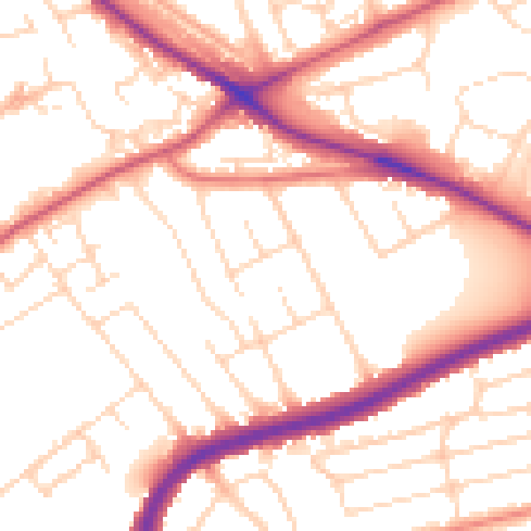
Daytime· 07:00 – 23:00
53.5dB

Night-time· 23:00 – 07:00
43.9dB