35 Chesterfield Avenue, Gedling, Nottingham, NG4 4GE
About 35 Chesterfield Avenue
35 Chesterfield Avenue is a two-bedroom semi-detached house in Gedling, Nottingham, Nottingham (NG4 4GE). It has a recorded floor area of 48 m² (around 517 sq ft), construction records dating it to 1967-1975 and council tax band B. The latest certificate (April 2024) shows a C (score 70). When first surveyed in October 2009 the rating was D, the property has climbed 1 band since. Between certificates, roof efficiency went from Average to Good and lighting went from Very Poor to Very Good; while wall efficiency dropped from Good to Average and window efficiency dropped from Good to Average. The recommended improvements would push it to B (score 88).
Across 2001–2018, sale prices on this property compounded at 5% per year. Today's modelled estimate of £203,000 sits 69.2% above the 2018 sale of £120,000. On a £-per-square-foot basis, the last sale (£232/sq ft) was about 74.9% above the typical sold price in the postcode. At 48 m² it sits well below the postcode median (78 m² across 27 EPCs), making it one of the more compact homes locally. Its energy rating outperforms most of the postcode (better than 74% of similar EPCs). Last sale on file: £120,000 in September 2018. Across the public record there are 4 sales, relatively high churn for a single property.
Know exactly what you're buying at 35 Chesterfield Avenue
Before you offer, see what the listing won't tell you, the true value, the red flags and the full history.
Valuation
against the asking price
Risks
planning & flood
Sold prices
similar homes nearby
Trends
the local market
What this property has
Inside
- Bedrooms2
- Bathrooms1
Outside
- Private gardenRear
- DrivewayYes
Building
- RefurbishedYes
Energy performance
EPC Rating
Property Improvements
Changes detected from historical EPC data
Roof insulation improved
More low energy lighting installed
Heating controls upgraded for better temperature management
Loft insulation upgraded to recommended levels
More low energy lighting installed
Planning history
35 Chesterfield Avenue has no planning applications on record.
The full report still covers planning activity across the surrounding area.
Sales history & valuation
35 Chesterfield Avenue has more than doubled in price since the earliest registered sale in 2001.
£203,000
Modelled from EPC, postcode comparables and a sale-price growth of 5.0% per year over 17 years.
£120,000
Growth on file: 5.0% per year over 17 years.
Sales timeline
13 September 2018Most recent
£120,000
+32.6%over 8 years24 June 2010
£90,500
-15.4%over 4 years8 June 2006
£107,000
+102.1%over 4 years11 October 2001
£52,950
Median price across the last 5 sales in NG4 4GE: £190,000 (2025–2023).
Nearby sales in NG4 4GE
63 Chesterfield Avenue, Gedling, Nottingham, NG4 4GE
Sold Jan 2025
£147,00073 Chesterfield Avenue, Gedling, Nottingham, NG4 4GE
Sold Nov 2024
£210,00075 Chesterfield Avenue, Gedling, Nottingham, NG4 4GE
Sold Jul 2024
£190,00061 Chesterfield Avenue, Gedling, Nottingham, NG4 4GE
Sold Oct 2023
£185,00013 Chesterfield Avenue, Gedling, Nottingham, NG4 4GE
Sold Jan 2023
£230,000
Everything we know about 35 Chesterfield Avenue, in one report
What it's really worth, what could be wrong, and the planning, sales and area data in full.
- Am I paying too much?
- Is something wrong with it?
- Is the agent's story true?
- Will it hold its value?

Versus other Chesterfield Avenue homes
On co₂ emissions, 35 Chesterfield Avenue stands well clear of the street.
Price per m²
£2,500
Street avg £1,939
Floor Area
48 m²
Street avg 80 m²
Habitable Rooms
3 rooms
Street avg 4 rooms
CO₂ Emissions
2.0 t/year
Street avg 3.6 t/year
Similar properties nearby
1 Beckett Court, Gedling
NG4 4GS
1 Clifton Grove, Gedling
NG4 4DQ
1 Chesterfield Avenue, Gedling
NG4 4GE
1 Cinderhill Grove, Gedling
NG4 4EQ
1 Cator Close, Gedling
NG4 4HS
1 Avon Road, Gedling
NG4 4JU
1 Acorn Drive, Gedling
NG4 4AG
1 Cookson Avenue, Gedling
NG4 4GA
The neighbourhood at a glance
Daytime road noise here sits well below conversation level — a quiet pocket of the postcode.
Crime
2/mo
Steady year-on-year across the wider district.
Nearest stop
0.1 km
Turning Circle — bus stop.
Closest school
0.3 km
Stanhope Primary and Nursery School. 35 schools nearby.
Go deeper on the local area
The full report breaks down crime, transport links, schools and air quality in depth.
Road noise across the postcode
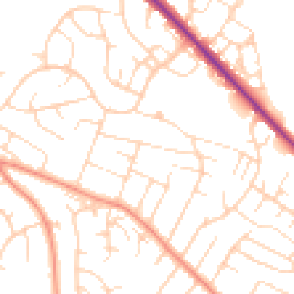
Daytime· 07:00 – 23:00
49.9dB

Night-time· 23:00 – 07:00
39.3dB