8 College Road, Mapperley, Nottingham, NG3 6FD
About 8 College Road
8 College Road is a four-bedroom detached house in Mapperley, Nottingham, Nottingham (NG3 6FD). It has a recorded floor area of 202 m² (around 2174 sq ft), construction records dating it to 1996-2002 and council tax band E. Other recorded features include a basement. Records show the property has been extended at some point in its history. The latest certificate (June 2023) shows a C (score 72).
At 202 m² the property is well over the postcode median (71 m² across 31 EPCs), placing it in the larger end of the local stock. A recent sale: £543,000 in December 2024. One planning record on file: an extension approved in 2015. Past consents include an extension, meaningful when judging how the property has evolved. Across 2003–2024, sale prices on this property compounded at 2.6% per year. On a £-per-square-foot basis, the last sale (£250/sq ft) was about 48.9% above the typical sold price in the postcode.
What this property has
Inside
- Bedrooms4
- Bathrooms3
- Dining roomYes
- Utility roomYes
- EnsuiteYes
- StudyYes
- BasementYes
Building
- Previously extendedYes
- RefurbishedYes
Everything you need to know about 8 College Road
The true value, the hidden risks and the full sale history, in one report.
Pick your report · every report is £14.99
One time fee only - money back guarantee

The data behind every report


Energy performance
EPC Rating
Get a survey for this property
Level 2 HomeBuyer Report
We've checked 10 risk factors against the available data for this property and believe a Level 2 HomeBuyer Report could be a suitable option for you.
From £795 · Includes VAT
Planning history
8 College Road has an approved single-storey rear extension on the planning record.
1 application on record at 8 College Road, Mapperley, Nottingham, NG3 6FD
- Mar 2015ExtensionOutlineOutcome in report
Extension: Single storey · Rear of property
Single storey extension to the rear of the property to provide a larger breakfast/ kitchen and new dining/ sunroom: 5m in depth & stepped back to 1m in depth across entire width, 3.4 height, 2.2m eaves.
- Documents
- 1 doc on file
- Reference
- 2015/0139PN
Unlock 8 College Road, Mapperley, Nottingham, NG3 6FD's full planning history
You're seeing the shape of it. The report has the substance.
- Every decision — granted, refused or withdrawn (1 on record)
- All 1 application on this property in full, plus 1 notable nearby
- The 1 documents, officer reports & conditions
- What the pattern means for extending or converting here
One time fee only - money back guarantee
Sales history & valuation
8 College Road valuation sits well clear of the typical sold price in this postcode.
£555,000
Modelled from EPC, postcode comparables and a sale-price growth of 2.6% per year over 21 years.
£543,000
Growth on file: 2.6% per year over 21 years.
Sales timeline
19 December 2024Most recent
£543,000
+72.4%over 21 years21 August 2003
£315,000
Median price across the last 5 sales in NG3 6FD: £143,000 (2025–2021).
Nearby sales in NG3 6FD
24 College Road, Mapperley, Nottingham, NG3 6FD
Sold May 2025
£460,00019 College Road, Mapperley, Nottingham, NG3 6FD
Sold Oct 2024
£130,00029 College Road, Mapperley, Nottingham, NG3 6FD
Sold Sept 2023
£152,0009 College Road, Mapperley, Nottingham, NG3 6FD
Sold Aug 2022
£127,50017 College Road, Mapperley, Nottingham, NG3 6FD
Sold Oct 2021
£120,000
Versus other College Road homes
Floor Area for 8 College Road runs comfortably ahead of the street norm.
Price per m²
£2,688
Street avg £1,737
Floor Area
202 m²
Street avg 123 m²
Habitable Rooms
6 rooms
Street avg 6 rooms
CO₂ Emissions
5.9 t/year
Street avg 3.7 t/year
Everything you need to know about 8 College Road
The true value, the hidden risks and the full sale history, in one report.
Pick your report · every report is £14.99
One time fee only - money back guarantee
The data behind every report
Similar properties nearby
1 Cheadle Close, Mapperley
NG3 6FR
1 Clay Avenue
NG3 6EN
1 College Road, Mapperley
NG3 6FD
1 Cudworth Drive, Mapperley
NG3 6AW
1 Ashworth Crescent
NG3 6BX
1 City View
NG3 6DE
1 Blenheim Avenue
NG3 6GD
1 Digby Avenue
NG3 6DS
The neighbourhood at a glance
Reported crime in the wider district is trending notably upward year-on-year.
Crime
5/mo
Rising year-on-year across the wider district.
Nearest stop
0.2 km
Holyoake Road — bus stop.
Closest school
0.2 km
Westdale Junior School. 39 schools nearby.
Go deeper on the local area
A Local Area report breaks down crime, transport links, schools and air quality in depth.
Road noise across the postcode
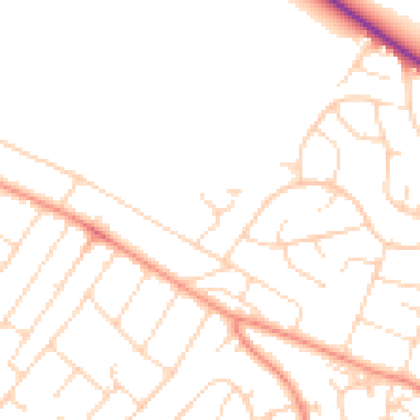
Daytime· 07:00 – 23:00
47.5dB

Night-time· 23:00 – 07:00
38.0dB