25a, Rowland Avenue, Mapperley, Nottingham, NG3 6BZ
About 25a
25a is a property in Mapperley, Nottingham, Nottingham (NG3 6BZ). It has council tax band C.
Held since September 1996 — that's 30 years off the open market, well above the local norm. Only one transfer is on record with HM Land Registry, suggesting it has stayed in the same hands for a long time.
Everything you need to know about 25a
The true value, the hidden risks and the full sale history, in one report.
Pick your report · every report is £14.99
One time fee only - money back guarantee

The data behind every report


Energy performance
No EPC on record
This property doesn't have an Energy Performance Certificate yet. An EPC is required to sell or let — and unlocks our automated valuation.
Get a survey for this property
Level 2 HomeBuyer Report
We've checked 10 risk factors against the available data for this property and believe a Level 2 HomeBuyer Report could be a suitable option for you.
Planning history
25a has no planning applications on record.
But the area is active
1 notable application nearby — larger schemes and conversions that could reshape the street. The report maps them all.
Sales history & valuation
Latest sale on 25a was the lowest on Land Registry record across the postcode.
£48,000
Recorded with HM Land Registry.
Sales timeline
12 September 1996Most recent
£48,000
Median price across the last 5 sales in NG3 6BZ: £260,000 (2024–2018).
Nearby sales in NG3 6BZ
3 Rowland Avenue, Mapperley, Nottingham, NG3 6BZ
Sold Mar 2024
£260,000The Chalet, Rowland Avenue, Mapperley, Nottingham, NG3 6BZ
Sold Jan 2023
£120,0002 Rowland Avenue, Mapperley, Nottingham, NG3 6BZ
Sold Nov 2022
£448,0001 Rowland Avenue, Mapperley, Nottingham, NG3 6BZ
Sold Apr 2019
£350,00021 Rowland Avenue, Mapperley, Nottingham, NG3 6BZ
Sold Dec 2018
£237,000
Everything you need to know about 25a
The true value, the hidden risks and the full sale history, in one report.
Pick your report · every report is £14.99
One time fee only - money back guarantee
The data behind every report
Similar properties nearby
The neighbourhood at a glance
Reported crime in the wider district is trending notably upward year-on-year.
Crime
5/mo
Rising year-on-year across the wider district.
Nearest stop
0.2 km
Bennett Road — bus stop.
Closest school
0.6 km
Westdale Infant and Nursery. 45 schools nearby.
Go deeper on the local area
A Local Area report breaks down crime, transport links, schools and air quality in depth.
Road noise across the postcode
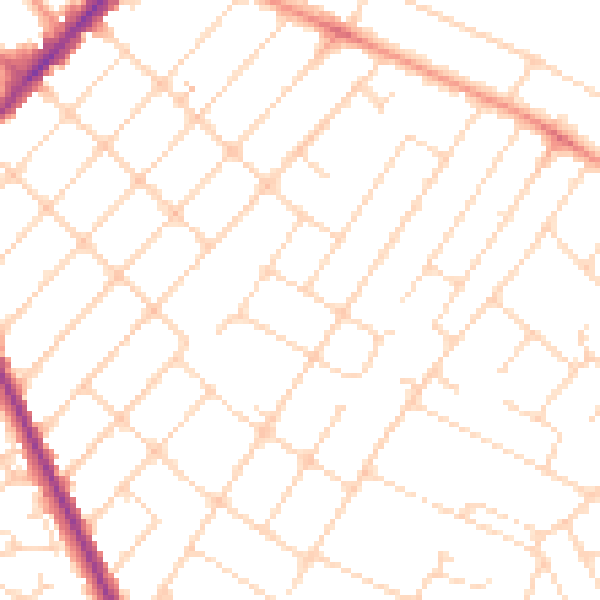
Daytime· 07:00 – 23:00
48.9dB

Night-time· 23:00 – 07:00
38.3dB