37 Bradstone Drive, Mapperley, Nottingham, NG3 5SY
About 37 Bradstone Drive
37 Bradstone Drive is a five-bedroom detached house in Mapperley, Nottingham, Nottingham (NG3 5SY). It has a recorded floor area of 156 m² (around 1679 sq ft), construction records dating it to 2012 onwards and council tax band F. The latest certificate (March 2024) shows a C (score 79), near the top of the C band. Earlier certificates rated it B (February 2014); the latest reading is one band lower. Between certificates, roof efficiency dropped from Very Good to Good and window efficiency dropped from Very Good to Good. The recommended improvements would push it to B (score 88). Other recorded features include notable views and a conservatory.
At 156 m² it's 15.6% larger than the typical home in the postcode (135 m² median across 53 EPCs). It lags the bulk of the postcode on energy efficiency (less efficient than 85% of similar EPCs). 5 bedrooms is on the larger side for this postcode, where 4 is the typical count. Across 2014–2024, sale prices on this property compounded at 3.6% per year. On a £-per-square-foot basis, the last sale (£277/sq ft) was about 33.3% above the typical sold price in the postcode. Most recent transfer: April 2024 at £465,000.
What this property has
Inside
- Bedrooms5
- Bathrooms3
- Dining roomYes
- Utility roomYes
- EnsuiteYes
- ConservatoryYes
Outside
- Notable viewsYes
Everything you need to know about 37 Bradstone Drive
The true value, the hidden risks and the full sale history, in one report.
Pick your report · every report is £14.99
One time fee only - money back guarantee

The data behind every report


Energy performance
EPC Rating
Get a survey for this property
Level 2 HomeBuyer Report
We've checked 10 risk factors against the available data for this property and believe a Level 2 HomeBuyer Report could be a suitable option for you.
From £695 · Includes VAT
Planning history
37 Bradstone Drive has no planning applications on record.
But the area is active
4 notable applications nearby — larger schemes and conversions that could reshape the street. The report maps them all.
Sales history & valuation
37 Bradstone Drive valuation sits well clear of the typical sold price in this postcode.
£466,000
Modelled from EPC, postcode comparables and a sale-price growth of 3.6% per year over 10 years.
£465,000
Growth on file: 3.6% per year over 10 years.
Sales timeline
23 April 2024Most recent
£465,000
+43.1%over 10 years28 March 2014
£324,995
Median price across the last 5 sales in NG3 5SY: £400,000 (2025–2023).
Nearby sales in NG3 5SY
24 Bradstone Drive, Mapperley, Nottingham, NG3 5SY
Sold Jul 2025
£395,00050 Bradstone Drive, Mapperley, Nottingham, NG3 5SY
Sold Nov 2024
£290,0004 Bradstone Drive, Mapperley, Nottingham, NG3 5SY
Sold Jun 2024
£450,0003 Bradstone Drive, Mapperley, Nottingham, NG3 5SY
Sold Apr 2024
£400,00021 Bradstone Drive, Mapperley, Nottingham, NG3 5SY
Sold Jan 2023
£415,000
Versus other Bradstone Drive homes
Years Held for 37 Bradstone Drive lags the street by a wide margin.
Price per m²
£2,981
Street avg £2,399
Floor Area
156 m²
Street avg 132 m²
Habitable Rooms
8 rooms
Street avg 6 rooms
CO₂ Emissions
3.1 t/year
Street avg 2.1 t/year
Everything you need to know about 37 Bradstone Drive
The true value, the hidden risks and the full sale history, in one report.
Pick your report · every report is £14.99
One time fee only - money back guarantee
The data behind every report
Similar properties nearby
1 Bideford Close
NG3 5UP
1 Bradstone Drive, Mapperley
NG3 5SY
1 Bonington Road
NG3 5JR
1 Carriage Close
NG3 5HA
1 Carisbrooke Avenue
NG3 5DT
1 Bailey Drive
NG3 5US
1 Ashwater Drive
NG3 5SJ
1 Beech Avenue, Mapperley
NG3 5JW
The neighbourhood at a glance
Reported crime in the wider district is trending notably upward year-on-year.
Crime
5/mo
Rising year-on-year across the wider district.
Nearest stop
0.1 km
Bradstone Drive — bus stop.
Closest school
1.2 km
Coppice Farm Primary School. 29 schools nearby.
Go deeper on the local area
A Local Area report breaks down crime, transport links, schools and air quality in depth.
Road noise across the postcode
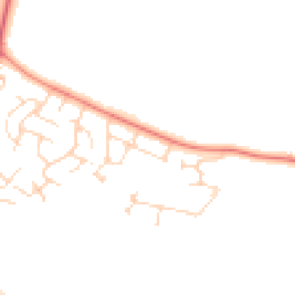
Daytime· 07:00 – 23:00
44.8dB

Night-time· 23:00 – 07:00
37.1dB