13 Briar Road, New Ollerton, Newark, NG22 9SY
About 13 Briar Road
13 Briar Road is a three-bedroom property in New Ollerton, Newark, Newark (NG22 9SY). It has council tax band A.
Untraded for 20 years, with the last transfer in June 2006. Across 1995–2006, sale prices on this property compounded at 13.7% per year.
What this property has
Inside
- Bedrooms3
Outside
- Private gardenFront and rear
Building
- Heating systemGas
Everything you need to know about 13 Briar Road
The true value, the hidden risks and the full sale history, in one report.
Pick your report · every report is £14.99
One time fee only - money back guarantee

The data behind every report


Energy performance
No EPC on record
This property doesn't have an Energy Performance Certificate yet. An EPC is required to sell or let — and unlocks our automated valuation.
Get a survey for this property
Level 2 HomeBuyer Report
We've checked 10 risk factors against the available data for this property and believe a Level 2 HomeBuyer Report could be a suitable option for you.
Planning history
13 Briar Road has no planning applications on record.
But the area is active
5 notable applications nearby — larger schemes and conversions that could reshape the street. The report maps them all.
Sales history & valuation
13 Briar Road has more than quadrupled in price since its earliest registered sale in 1995.
£115,000
Growth on file: 13.7% per year over 11 years.
Sales timeline
29 June 2006Most recent
£115,000
+259.4%over 5 years4 April 2001
£32,000
+18.5%over 6 years3 March 1995
£27,000
Median price across the last 5 sales in NG22 9SY: £165,000 (2025–2023).
Nearby sales in NG22 9SY
11 Briar Road, New Ollerton, Newark, NG22 9SY
Sold Jun 2025
£178,00031 Briar Road, New Ollerton, Newark, NG22 9SY
Sold Apr 2025
£176,00010 Briar Road, New Ollerton, Newark, NG22 9SY
Sold May 2023
£160,00022 Briar Road, New Ollerton, Newark, NG22 9SY
Sold Sept 2022
£165,000Flat B, 5 Briar Road, New Ollerton, Newark, NG22 9SY
Sold Aug 2022
£100,000
Everything you need to know about 13 Briar Road
The true value, the hidden risks and the full sale history, in one report.
Pick your report · every report is £14.99
One time fee only - money back guarantee
The data behind every report
Similar properties nearby
1 Breck Bank Crescent, New Ollerton
NG22 9XH
1 Alder Grove, New Ollerton
NG22 9UB
1 Birkdale Avenue, New Ollerton
NG22 9UE
1 Barley Close, New Ollerton
NG22 9WQ
1 Breck Bank, New Ollerton
NG22 9XQ
1 Briar Court, New Ollerton
NG22 9SR
1 Aspen Close, Walesby
NG22 9WA
1 Bottom Row, Ollerton
NG22 9AY
The neighbourhood at a glance
Daytime road noise here sits well below conversation level — a quiet pocket of the postcode.
Crime
3/mo
Steady year-on-year across the wider district.
Nearest stop
0.1 km
Briar Road — bus stop.
Closest school
0.4 km
The Parkgate Academy. 5 schools nearby.
Go deeper on the local area
A Local Area report breaks down crime, transport links, schools and air quality in depth.
Road noise across the postcode
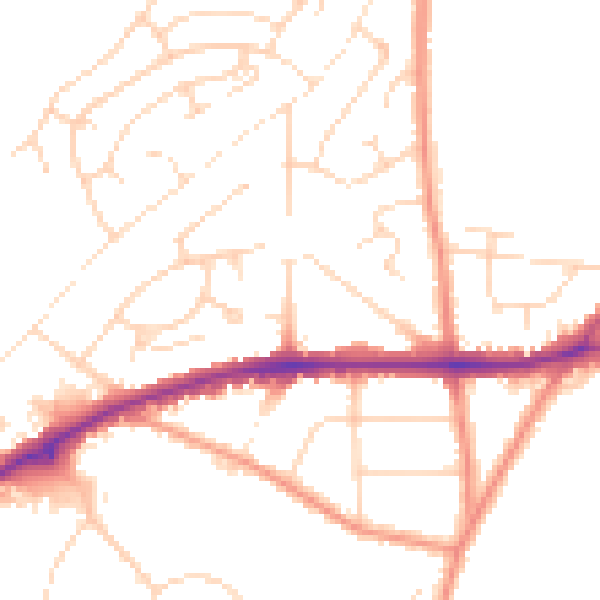
Daytime· 07:00 – 23:00
49.6dB

Night-time· 23:00 – 07:00
40.2dB