Model valuation£417,0008 Busby Close
Local market context
One time fee only - money back guarantee
South Farmhouse is a detached house in Budby, Newark, Newark (NG22 9EX). It has a recorded floor area of 265 m² (around 2852 sq ft), construction records dating it to before 1900 and council tax band E. The latest certificate (March 2014) returns an A (score 102), the top energy band on the EPC scale. When first surveyed in August 2013 the rating was E, the property has climbed 4 bands since. Between certificates, window efficiency went from Poor to Average. Main heating runs on oil. The latest certificate is from March 2014, so improvements made since then won't be reflected.
At 265 m² the property is well over the postcode median (100 m² across 16 EPCs), placing it in the larger end of the local stock. On energy efficiency it sits in the top 10% of properties in this postcode. 3 planning records sit against the property, 2 approved, 0 refused. Past consents include new windows, meaningful when judging how the property has evolved. The record references listed-building consent, which constrain future alterations.
The true value, the hidden risks and the full sale history, in one report.
Pick your report · from £14.99
One time fee only - money back guarantee
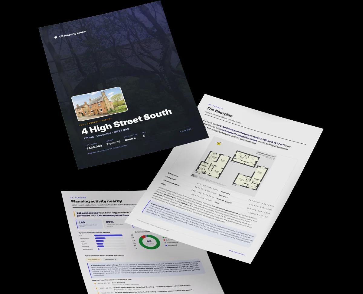
The data behind every report


South Farmhouse ranks among the most efficient homes in the postcode for energy use.
This certificate is over 10 years old and is no longer valid.Expired 23 Mar 2024
Certificate validity
Expired on 23 March 2024
Changes detected from historical EPC data
Window efficiency improved
South Farmhouse has a listed-building consent on record — alterations to a listed property are tightly controlled.
3 applications on record at South Farmhouse, Budby, Newark, NG22 9EX
Request for confirmation of discharge of condition 4 relating to 13/01169/FUL for Installation of a 180kWe ground mounted solar PV system comprising of approximately 734 panels
You're seeing the shape of it. The report has the substance.
One time fee only - money back guarantee
EPC Rating for South Farmhouse runs comfortably ahead of the street norm.
EPC Rating
102 (A)
Street avg 45 (E)
Floor Area
265 m²
Street avg 114 m²
CO₂ Emissions
3.5 t/year
Street avg 6.9 t/year
Habitable Rooms
5 rooms
Street avg 5 rooms
Daytime road noise here sits well below conversation level — a quiet pocket of the postcode.
Crime
175/mo
Steady year-on-year across the wider district.
Nearest stop
0.1 km
War Memorial — bus stop.
Closest school
3.0 km
St Mary's Church of England Primary School, Edwinstowe. 1 school nearby.
Go deeper on the local area
A Local Area report breaks down crime, transport links, schools and air quality in depth.
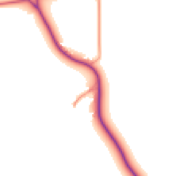
Daytime· 07:00 – 23:00
47.8dB

Night-time· 23:00 – 07:00
41.1dB

Get a survey for this property
Because the property was built before 1919, has no mains gas supply, and has solid (non-cavity) walls, we believe a Level 3 building survey should be considered.
NG22 9UB
NG22 9UR
NG22 9LY
NG22 9WA
NG22 9WS
NG22 9WQ
NG22 9GY
NG22 9WE
Property research, connected
Explore sale histories, valuations, energy ratings and local areas. Ask the assistant to connect the details and take your research further.
Start your researchLeave a note for other visitors about work done or anything the records miss, and say what you think it's worth. It takes about two minutes.