31 High Street, Warsop, Mansfield, NG20 0AB
About 31 High Street
31 High Street is a property in Warsop, Mansfield, Mansfield (NG20 0AB). It has council tax band A.
2 planning records sit against the property, 0 approved, 0 refused.
Energy performance
No EPC on record
This property doesn't have an Energy Performance Certificate yet. An EPC is required to sell or let — and unlocks our automated valuation.

Get a survey for this property
Level 2 HomeBuyer Report
We've checked 10 risk factors against the available data for this property and believe a Level 2 HomeBuyer Report could be a suitable option for you.
Planning history
- Aug 2004FullOutcome in report
RETENTION OF PORTABLE BUILDING AND CONSTRUCTION OF SCREEN WALL
Retrospective- Reference
- 2004/0618/ET
- Jan 2004FullOutcome in report
RETENTION OF PORTACABIN TO REAR OF SHOP FOR BAKERY USE
Retrospective- Reference
- 2003/1203/ET
Sales history & valuation
No sales recorded with HM Land Registry
That can mean the property has never traded since the registry began publishing in 1995, was a new build that hasn't been registered yet, or is held in the same hands long-term.
Median price across the last 3 sales in NG20 0AB: £80,000 (2013–2001).
Nearby sales in NG20 0AB
Similar properties nearby
1 3, Church Street, Warsop
NG20 0AQ
1 Argyle Close, Warsop
NG20 0JH
1 Asgard Avenue, Warsop
NG20 0GA
1 Askew Lane, Warsop
NG20 0DD
1 Assarts Farm Cottage, Warsop
NG20 0EU
1 Barn Owl Close, Church Warsop
NG20 0SH
1 Bentinck Terrace, Warsop
NG20 0LF
1 Birch Street, Church Warsop
NG20 0ST
The neighbourhood at a glance
Daytime road noise here sits well below conversation level — a quiet pocket of the postcode.
Crime
178/mo
Steady year-on-year across the wider district.
Nearest stop
0.0 km
High Street — bus stop.
Closest school
0.3 km
Birklands Primary School. 7 schools nearby.
Road noise across the postcode
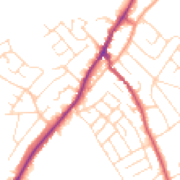
Daytime· 07:00 – 23:00
49.9dB

Night-time· 23:00 – 07:00
40.3dB