2 Burrow Walk, Kirkby In Ashfield, Nottingham, NG17 8BU
About 2 Burrow Walk
2 Burrow Walk is a three-bedroom semi-detached house in Kirkby-In-Ashfield, Nottingham, Nottingham (NG17 8BU). It has a recorded floor area of 77 m² (around 829 sq ft), construction records dating it to 1996-2002 and council tax band B. The latest certificate (June 2015) shows a D (score 67), on the cusp of jumping into the C band. The rating has held steady at D across 2 certificates since December 2014. Between certificates, lighting went from Poor to Average. The recommended improvements would lift it to B (score 87), a 2-band jump. The latest certificate is from June 2015, so improvements made since then won't be reflected. Other recorded features include a conservatory.
Across 1997–2015, sale prices on this property compounded at 6% per year. Today's modelled estimate of £199,000 is 44.7% above the 2015 sale price. On a £-per-square-foot basis, the last sale (£166/sq ft) was about 30.8% above the typical sold price in the postcode. On the market in April 2015 and unlisted since — roughly 11 years. At 77 m² it's 23.8% smaller than the typical home in the postcode (101 m² median across 15 EPCs).
Know exactly what you're buying at 2 Burrow Walk
Before you offer, see what the listing won't tell you, the true value, the red flags and the full history.
Already flagged here
Valuation
against the asking price
Risks
planning & flood
Sold prices
similar homes nearby
Trends
the local market
What this property has
Inside
- Bedrooms3
- Bathrooms1
- Dining roomYes
- CloakroomYes
- ConservatoryYes
Outside
- Private gardenFront and rear
Building
- Central heatingYes
Energy performance
Recommended upgrades on file would lift this property by multiple EPC bands.
EPC Expired
This certificate is over 10 years old and is no longer valid.Expired 09 Jun 2025
EPC Rating
Planning history
2 Burrow Walk has no planning applications on record.
Notable planning nearby
2applications of note in the surrounding area
We flagged 1 thing worth checking at 2 Burrow Walk
Independent checks surfaced things a buyer would want to understand before offering. The report explains each one in full, with the underlying data and what to ask.
- Larger development activity nearby
30-day money-back guarantee
Sales history & valuation
2 Burrow Walk has more than doubled in price since the earliest registered sale in 1997.
£199,000
Modelled from EPC, postcode comparables and a sale-price growth of 6.0% per year over 17 years.
£137,500
Growth on file: 6.0% per year over 17 years.
Sales timeline
30 April 2015Most recent
£137,500
+7.8%over 9 years16 June 2005
£127,500
+155.3%over 7 years31 October 1997
£49,950
Median price across the last 5 sales in NG17 8BU: £249,950 (2024–2019).
Nearby sales in NG17 8BU
9 Burrow Walk, Kirkby In Ashfield, Nottingham, NG17 8BU
Sold May 2024
£285,00025 Burrow Walk, Kirkby In Ashfield, Nottingham, NG17 8BU
Sold Jan 2024
£255,0003 Burrow Walk, Kirkby In Ashfield, Nottingham, NG17 8BU
Sold Sept 2020
£245,00020 Burrow Walk, Kirkby In Ashfield, Nottingham, NG17 8BU
Sold Jun 2020
£230,00014 Burrow Walk, Kirkby In Ashfield, Nottingham, NG17 8BU
Sold Nov 2019
£249,950
Everything we know about 2 Burrow Walk, in one report
What it's really worth, what could be wrong, and the planning, sales and area data in full.
What we flagged
- Larger development activity nearby

Versus other Burrow Walk homes
2 Burrow Walk is notably below the street on floor area.
Price per m²
£1,786
Street avg £1,845
Floor Area
77 m²
Street avg 113 m²
Habitable Rooms
5 rooms
Street avg 6 rooms
CO₂ Emissions
3.4 t/year
Street avg 4.2 t/year
Similar properties nearby
1 Boundary Close, Kirkby In Ashfield
NG17 8RS
1 Bennet Drive, Kirkby In Ashfield
NG17 8AW
1 Almond Grove, Kirkby In Ashfield
NG17 8EX
1 Adams Park Way, Kirkby In Ashfield
NG17 8SS
1 Birkdale Drive, Kirkby In Ashfield
NG17 8PP
1 Burnside Close, Kirkby In Ashfield
NG17 8NX
1 Belfry Close, Kirkby In Ashfield
NG17 8NS
1 Bluebell Grove, Kirkby In Ashfield
NG17 8PD
The neighbourhood at a glance
Rail-style transport is unusually close for this postcode.
Crime
5/mo
Steady year-on-year across the wider district.
Nearest stop
0.3 km
Wheatley Avenue — bus stop.
Closest school
0.4 km
Orchard Primary School and Nursery. 14 schools nearby.
Go deeper on the local area
The full report breaks down crime, transport links, schools and air quality in depth.
Road noise across the postcode
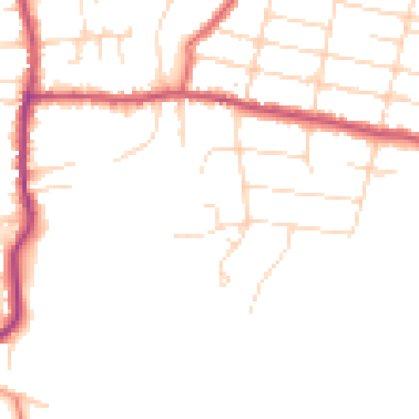
Daytime· 07:00 – 23:00
46.7dB
Night-time· 23:00 – 07:00
38.9dB