2 Bathwood Drive, Sutton In Ashfield, NG17 5FX
About 2 Bathwood Drive
2 Bathwood Drive is a three-bedroom semi-detached house in Sutton In Ashfield (NG17 5FX). It has a recorded floor area of 99 m² (around 1066 sq ft), construction records dating it to 1900-1929 and council tax band A. The latest certificate (May 2017) shows an E (score 43), well below the UK norm with real room to improve. The recommended improvements would lift it to C (score 78), a 2-band jump. The home occupies a cul-de-sac position.
Across 2004–2018, sale prices on this property compounded at 2.5% per year. Today's modelled estimate of £173,000 sits 50.4% above the 2018 sale of £115,000. On a £-per-square-foot basis, the last sale (£108/sq ft) was about 16.3% above the typical sold price in the postcode. 8 years since the last transfer (March 2018).
Know exactly what you're buying at 2 Bathwood Drive
Before you offer, see what the listing won't tell you, the true value, the red flags and the full history.
Already flagged here
Valuation
against the asking price
Risks
planning & flood
Sold prices
similar homes nearby
Trends
the local market
What this property has
Inside
- Bedrooms3
- Bathrooms1
- Dining roomYes
Outside
- Private gardenYes
- GarageYes
- Cul-de-sacYes
Energy performance
2 Bathwood Drive's carbon output runs well above what efficient homes in the postcode produce.
EPC Rating
Planning history
2 Bathwood Drive has no planning applications on record.
Notable planning nearby
6applications of note in the surrounding area
We flagged 1 thing worth checking at 2 Bathwood Drive
Independent checks surfaced things a buyer would want to understand before offering. The report explains each one in full, with the underlying data and what to ask.
- Larger development activity nearby
30-day money-back guarantee
Sales history & valuation
2 Bathwood Drive valuation sits well clear of the typical sold price in this postcode.
£173,000
Modelled from EPC, postcode comparables and a sale-price growth of 2.5% per year over 14 years.
£115,000
Growth on file: 2.5% per year over 14 years.
Sales timeline
28 March 2018Most recent
£115,000
-2.5%over 11 years28 November 2006
£118,000
+43.9%over 2 years2 August 2004
£82,000
Median price across the last 5 sales in NG17 5FX: £130,000 (2023–2020).
Nearby sales in NG17 5FX
1 Bathwood Drive, Sutton In Ashfield, NG17 5FX
Sold Oct 2023
£125,00020 Bathwood Drive, Sutton In Ashfield, NG17 5FX
Sold Jul 2023
£185,00022 Bathwood Drive, Sutton In Ashfield, NG17 5FX
Sold Sept 2021
£150,0006 Bathwood Drive, Sutton In Ashfield, NG17 5FX
Sold Feb 2021
£130,00026 Bathwood Drive, Sutton In Ashfield, NG17 5FX
Sold Aug 2020
£105,000
Everything we know about 2 Bathwood Drive, in one report
What it's really worth, what could be wrong, and the planning, sales and area data in full.
What we flagged
- Larger development activity nearby

Versus other Bathwood Drive homes
2 Bathwood Drive is notably below the street on epc rating.
Price per m²
£1,162
Street avg £1,273
Floor Area
99 m²
Street avg 157 m²
Habitable Rooms
5 rooms
Street avg 6 rooms
CO₂ Emissions
7.9 t/year
Street avg 8.3 t/year
Similar properties nearby
The neighbourhood at a glance
Rail-style transport is unusually close for this postcode.
Crime
5/mo
Steady year-on-year across the wider district.
Nearest stop
0.1 km
Norman Avenue — bus stop.
Closest school
0.4 km
Croft Primary School. 20 schools nearby.
Go deeper on the local area
The full report breaks down crime, transport links, schools and air quality in depth.
Road noise across the postcode
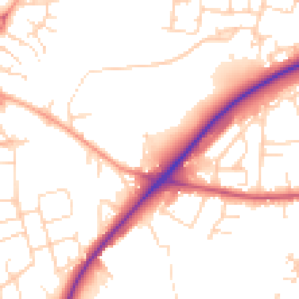
Daytime· 07:00 – 23:00
51.8dB

Night-time· 23:00 – 07:00
42.6dB