19 Bathwood Drive, Sutton In Ashfield, NG17 5FX
About 19 Bathwood Drive
19 Bathwood Drive is a detached house in Sutton In Ashfield (NG17 5FX). It has a recorded floor area of 163 m² (around 1755 sq ft), construction records dating it to 1950-1966 and council tax band E. The latest certificate (April 2017) shows an E (score 42), well below the UK norm with real room to improve. The recommended improvements would push it to D (score 67).
At 163 m² the property is well over the postcode median (95 m² across 13 EPCs), placing it in the larger end of the local stock. Today's modelled estimate of £409,000 is 36.3% above the 2017 sale price. On a £-per-square-foot basis, the last sale (£171/sq ft) was about 84.2% above the typical sold price in the postcode. Last changed hands 9 years ago, in September 2017. One historical planning record sits against the property in 2017.
Know exactly what you're buying at 19 Bathwood Drive
Before you offer, see what the listing won't tell you, the true value, the red flags and the full history.
Already flagged here
Valuation
against the asking price
Risks
planning & flood
Sold prices
similar homes nearby
Trends
the local market
Energy performance
19 Bathwood Drive's carbon output runs well above what efficient homes in the postcode produce.
EPC Rating
Planning history
- Dec 2017ExtensionFullIn report
Extension: Part single, part two storey · Side of property
Single storey and first floor side extensions with roof lantern, detached double garage, alterations to windows, new velux window, new french doors
New Windows- Documents
- 17 docs on file
- Reference
- V/2017/0633
We flagged 1 thing worth checking at 19 Bathwood Drive
Independent checks surfaced things a buyer would want to understand before offering. The report explains each one in full, with the underlying data and what to ask.
- Larger development activity nearby
30-day money-back guarantee
Sales history & valuation
19 Bathwood Drive valuation sits well clear of the typical sold price in this postcode.
£409,000
Modelled from EPC, postcode comparables.
£300,000
Recorded with HM Land Registry.
Sales timeline
14 September 2017Most recent
£300,000
Median price across the last 5 sales in NG17 5FX: £130,000 (2023–2020).
Nearby sales in NG17 5FX
1 Bathwood Drive, Sutton In Ashfield, NG17 5FX
Sold Oct 2023
£125,00020 Bathwood Drive, Sutton In Ashfield, NG17 5FX
Sold Jul 2023
£185,00022 Bathwood Drive, Sutton In Ashfield, NG17 5FX
Sold Sept 2021
£150,0006 Bathwood Drive, Sutton In Ashfield, NG17 5FX
Sold Feb 2021
£130,00026 Bathwood Drive, Sutton In Ashfield, NG17 5FX
Sold Aug 2020
£105,000
Everything we know about 19 Bathwood Drive, in one report
What it's really worth, what could be wrong, and the planning, sales and area data in full.
What we flagged
- Larger development activity nearby

Versus other Bathwood Drive homes
On price per m², 19 Bathwood Drive stands well clear of the street.
Price per m²
£1,840
Street avg £1,217
Floor Area
163 m²
Street avg 152 m²
Habitable Rooms
6 rooms
Street avg 6 rooms
CO₂ Emissions
12.0 t/year
Street avg 8.0 t/year
Similar properties nearby
1 Barnhill Gardens
NG17 5ET
1 Hamilton Farm Cottages, Cauldwell Road
NG17 5LB
1 Emerald Close
NG17 5JY
1 Cardinal Court
NG17 5JN
1 Kirkland Close
NG17 5HJ
1 Cornmill Road
NG17 5LP
1 Bleasby Crescent
NG17 5HW
1 Glamis Close
NG17 5LL
The neighbourhood at a glance
Rail-style transport is unusually close for this postcode.
Crime
5/mo
Steady year-on-year across the wider district.
Nearest stop
0.1 km
Norman Avenue — bus stop.
Closest school
0.4 km
Croft Primary School. 20 schools nearby.
Go deeper on the local area
The full report breaks down crime, transport links, schools and air quality in depth.
Road noise across the postcode
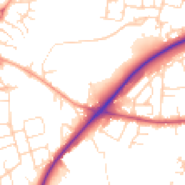
Daytime· 07:00 – 23:00
51.8dB

Night-time· 23:00 – 07:00
42.6dB