31 Outram Street, Sutton In Ashfield, NG17 4BA
About 31 Outram Street
31 Outram Street is a property in Sutton In Ashfield (NG17 4BA).
Untraded for 23 years, with the last transfer in November 2003. 4 planning records sit against the property, 0 approved, 1 refused.
Know exactly what you're buying at 31 Outram Street
Before you offer, see what the listing won't tell you, the true value, the red flags and the full history.
Already flagged here
Valuation
against the asking price
Risks
planning & flood
Sold prices
similar homes nearby
Trends
the local market
Energy performance
No EPC on record
This property doesn't have an Energy Performance Certificate yet. An EPC is required to sell or let — and unlocks our automated valuation.
Planning history
- Apr 2017Change of UseOutlineIn report
Prior approval for a proposed change of use from retail to dwelling
- Documents
- 7 docs on file
- Reference
- X/2017/0005
- Oct 2016ExtensionFullIn report
Extension: Single storey
Roof extension to create second floor flat
- Documents
- 8 docs on file
- Reference
- V/2016/0516
We flagged 1 thing worth checking at 31 Outram Street
Independent checks surfaced things a buyer would want to understand before offering. The report explains each one in full, with the underlying data and what to ask.
- Larger development activity nearby
30-day money-back guarantee
Sales history & valuation
£40,000
Recorded with HM Land Registry.
Sales timeline
5 November 2003Most recent
£40,000
Median price across the last 5 sales in NG17 4BA: £45,000 (2020–2019).
Nearby sales in NG17 4BA
29a, Outram Street, Sutton In Ashfield, NG17 4BA
Sold Dec 2020
£120,00035a, Outram Street, Sutton In Ashfield, NG17 4BA
Sold Dec 2019
£180,00025c, Outram Street, Sutton In Ashfield, NG17 4BA
Sold Feb 2019
£37,50025d, Outram Street, Sutton In Ashfield, NG17 4BA
Sold Feb 2019
£42,50025b, Outram Street, Sutton In Ashfield, NG17 4BA
Sold Feb 2019
£45,000
Everything we know about 31 Outram Street, in one report
What it's really worth, what could be wrong, and the planning, sales and area data in full.
What we flagged
- Larger development activity nearby

Similar properties nearby
The neighbourhood at a glance
Crime
5/mo
Steady year-on-year across the wider district.
Nearest stop
0.1 km
Penn Street — bus stop.
Closest school
0.3 km
Priestsic Primary and Nursery School. 19 schools nearby.
Go deeper on the local area
The full report breaks down crime, transport links, schools and air quality in depth.
Road noise across the postcode
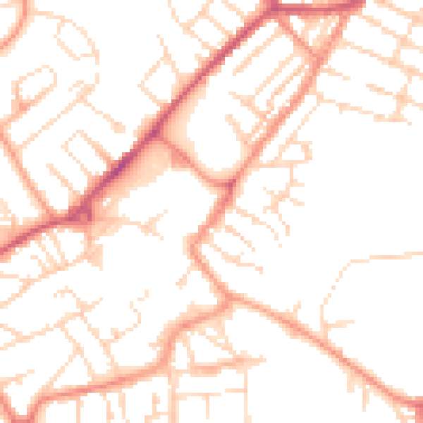
Daytime· 07:00 – 23:00
51.0dB

Night-time· 23:00 – 07:00
39.9dB