9 11, Low Street, Sutton In Ashfield, NG17 1DH
About 9 11
9 11 is a property in Sutton In Ashfield (NG17 1DH).
5 planning records sit against the property, 0 approved, 0 refused. Most recent transfer: October 2021 at £300,000. That sale was during the post-pandemic price surge, when transactions cleared materially above pre-2020 trend.
Know exactly what you're buying at 9 11
Before you offer, see what the listing won't tell you, the true value, the red flags and the full history.
Already flagged here
Valuation
against the asking price
Risks
planning & flood
Sold prices
similar homes nearby
Trends
the local market
Energy performance
No EPC on record
This property doesn't have an Energy Performance Certificate yet. An EPC is required to sell or let — and unlocks our automated valuation.
Planning history
Council records show a subdivision application — the property's legal arrangement has been altered.
- Dec 2024ApplicationIn report
Application to discharge condition 5 (sound mitigation) of planning permission v/2024/0193
- Documents
- 1 doc on file
- Reference
- V/2024/0595
- Oct 2024ApplicationIn report
Application to determine if prior approval is required for a proposed change of use from class e (retail) to class f1 (educational use)
- Documents
- 19 docs on file
- Reference
- X/2024/0029
We flagged 1 thing worth checking at 9 11
Independent checks surfaced things a buyer would want to understand before offering. The report explains each one in full, with the underlying data and what to ask.
- Larger development activity nearby
30-day money-back guarantee
Sales history & valuation
The latest sale landed in the post-pandemic price surge — useful context when reading the figure.
£300,000
Recorded with HM Land Registry.
Sales timeline
28 October 2021Most recent
£300,000
Median price across the last 2 sales in NG17 1DH: £74,475 (2020–2018).
Everything we know about 9 11, in one report
What it's really worth, what could be wrong, and the planning, sales and area data in full.
What we flagged
- Larger development activity nearby

Similar properties nearby
The neighbourhood at a glance
Crime
5/mo
Steady year-on-year across the wider district.
Nearest stop
0.2 km
Sutton Bus Station — bus station.
Closest school
0.2 km
Sutton Community Academy. 20 schools nearby.
Go deeper on the local area
The full report breaks down crime, transport links, schools and air quality in depth.
Road noise across the postcode
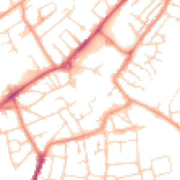
Daytime· 07:00 – 23:00
51.5dB

Night-time· 23:00 – 07:00
39.9dB