14 Alandene Avenue, Watnall, Nottingham, NG16 1HH
About 14 Alandene Avenue
14 Alandene Avenue is a property in Watnall, Nottingham, Nottingham (NG16 1HH). It has council tax band B.
Held since November 2001 — that's 25 years off the open market, well above the local norm.
Know exactly what you're buying at 14 Alandene Avenue
Before you offer, see what the listing won't tell you, the true value, the red flags and the full history.
Valuation
against the asking price
Risks
planning & flood
Sold prices
similar homes nearby
Trends
the local market
Energy performance
No EPC on record
This property doesn't have an Energy Performance Certificate yet. An EPC is required to sell or let — and unlocks our automated valuation.
Planning history
14 Alandene Avenue has no planning applications on record.
The full report still covers planning activity across the surrounding area.
Sales history & valuation
£69,000
Recorded with HM Land Registry.
Sales timeline
30 November 2001Most recent
£69,000
Median price across the last 5 sales in NG16 1HH: £200,000 (2024–2021).
Nearby sales in NG16 1HH
10 Alandene Avenue, Watnall, Nottingham, NG16 1HH
Sold Aug 2024
£235,00013 Alandene Avenue, Watnall, Nottingham, NG16 1HH
Sold Nov 2023
£200,00024 Alandene Avenue, Watnall, Nottingham, NG16 1HH
Sold Apr 2023
£238,54326 Alandene Avenue, Watnall, Nottingham, NG16 1HH
Sold Dec 2021
£176,50023 Alandene Avenue, Watnall, Nottingham, NG16 1HH
Sold May 2021
£187,500
Everything we know about 14 Alandene Avenue, in one report
What it's really worth, what could be wrong, and the planning, sales and area data in full.
- Am I paying too much?
- Is something wrong with it?
- Is the agent's story true?
- Will it hold its value?

Similar properties nearby
1 Aldwych Close, Nuthall
NG16 1QH
1 Chilton Drive, Watnall
NG16 1HL
1 Beech Avenue, Nuthall
NG16 1FH
1 Butterfield Court, Watnall
NG16 1JH
1 Cedarland Crescent, Nuthall
NG16 1AG
1 Beryldene Avenue, Watnall
NG16 1HJ
1 Britannia Close, Watnall
NG16 1GN
1 Alandene Avenue, Watnall
NG16 1HH
The neighbourhood at a glance
Reported crime in the wider district is trending notably upward year-on-year.
Crime
3/mo
Rising year-on-year across the wider district.
Nearest stop
0.2 km
Holly Road — bus stop.
Closest school
0.4 km
The Kimberley School. 15 schools nearby.
Go deeper on the local area
The full report breaks down crime, transport links, schools and air quality in depth.
Road noise across the postcode
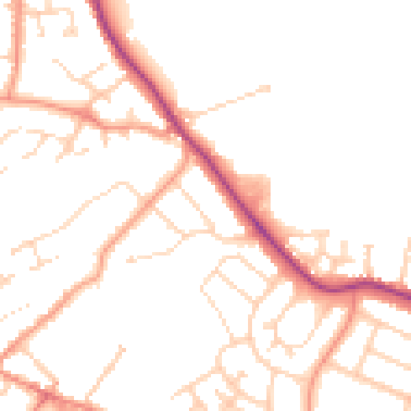
Daytime· 07:00 – 23:00
51.3dB

Night-time· 23:00 – 07:00
42.6dB