9 Cokefield Avenue, Nuthall, Nottingham, NG16 1AU
About 9 Cokefield Avenue
9 Cokefield Avenue is a three-bedroom detached house in Nuthall, Nottingham, Nottingham (NG16 1AU). It has a recorded floor area of 92 m² (around 990 sq ft), construction records dating it to 1967-1975 and council tax band C. The latest certificate (March 2014) shows a D (score 66), on the cusp of jumping into the C band. The recommended improvements would push it to C (score 78). The latest certificate is from March 2014, so improvements made since then won't be reflected. The home occupies a cul-de-sac position.
At 92 m² it's 27.1% larger than the typical home in the postcode (72 m² median across 7 EPCs). Across 2016–2019, sale prices on this property compounded at 10.6% per year. Today's modelled estimate of £330,000 is 20% above the 2019 sale price. On a £-per-square-foot basis, the last sale (£278/sq ft) was about 65.4% above the typical sold price in the postcode. 3 planning records sit against the property, 0 approved, 0 refused. Most recent transfer: September 2019 at £275,000.
Know exactly what you're buying at 9 Cokefield Avenue
Before you offer, see what the listing won't tell you, the true value, the red flags and the full history.
Valuation
against the asking price
Risks
planning & flood
Sold prices
similar homes nearby
Trends
the local market
What this property has
Inside
- Bedrooms3
- Bathrooms1
- Dining roomYes
- EnsuiteYes
Outside
- Private gardenRear
- GarageYes
- Cul-de-sacYes
Energy performance
9 Cokefield Avenue's EPC is over a decade old — improvements since won't be reflected.
EPC Expired
This certificate is over 10 years old and is no longer valid.Expired 04 Mar 2024
EPC Rating
Planning history
- Dec 2023RenovationFullIn report
Retain raised patio area
Retrospective- Documents
- 7 docs on file
- Reference
- 23/00545/FUL
- Jul 2016PorchFullIn report
Construct two storey front and rear extensions, first floor side extension and front porch (revised application)
Extension- Documents
- 8 docs on file
- Reference
- 16/00387/FUL
What's in 9 Cokefield Avenue, Nuthall, Nottingham, NG16 1AU's planning history?
1 more on this property, plus refusals, disputes and full decisions nearby, in the report.
Sales history & valuation
Latest sale on 9 Cokefield Avenue was the highest on Land Registry record across the postcode.
£330,000
Modelled from EPC, postcode comparables and a sale-price growth of 10.6% per year over 4 years.
£275,000
Growth on file: 10.6% per year over 4 years.
Sales timeline
11 September 2019Most recent
£275,000
+44.7%over 3 years8 January 2016
£190,000
Median price across the last 5 sales in NG16 1AU: £260,000 (2024–2018).
Nearby sales in NG16 1AU
16 Cokefield Avenue, Nuthall, Nottingham, NG16 1AU
Sold Oct 2024
£260,00010 Cokefield Avenue, Nuthall, Nottingham, NG16 1AU
Sold Oct 2024
£270,0003 Cokefield Avenue, Nuthall, Nottingham, NG16 1AU
Sold Mar 2023
£266,50017 Cokefield Avenue, Nuthall, Nottingham, NG16 1AU
Sold May 2017
£180,00012 Cokefield Avenue, Nuthall, Nottingham, NG16 1AU
Sold Oct 2011
£109,000
Everything we know about 9 Cokefield Avenue, in one report
What it's really worth, what could be wrong, and the planning, sales and area data in full.
- Am I paying too much?
- Is something wrong with it?
- Is the agent's story true?
- Will it hold its value?

Versus other Cokefield Avenue homes
On epc rating, 9 Cokefield Avenue stands well clear of the street.
Price per m²
£2,989
Street avg £2,386
Floor Area
92 m²
Street avg 77 m²
Habitable Rooms
5 rooms
Street avg 4 rooms
CO₂ Emissions
3.8 t/year
Street avg 4.3 t/year
Similar properties nearby
1 Blackfriars Close, Nuthall
NG16 1QJ
1 Alandene Avenue, Watnall
NG16 1HH
1 Britannia Close, Watnall
NG16 1GN
1 Beryldene Avenue, Watnall
NG16 1HJ
1 Cedarland Crescent, Nuthall
NG16 1AG
1 Chaworth Avenue, Watnall
NG16 1JB
1 Burnt Oak Close, Nuthall
NG16 1QR
1 Bishopdale Drive, Watnall
NG16 1LE
The neighbourhood at a glance
Rail-style transport is unusually close for this postcode.
Crime
3/mo
Rising year-on-year across the wider district.
Nearest stop
0.4 km
Woodland Drive — bus stop.
Closest school
0.4 km
Horsendale Primary School. 34 schools nearby.
Go deeper on the local area
The full report breaks down crime, transport links, schools and air quality in depth.
Road noise across the postcode
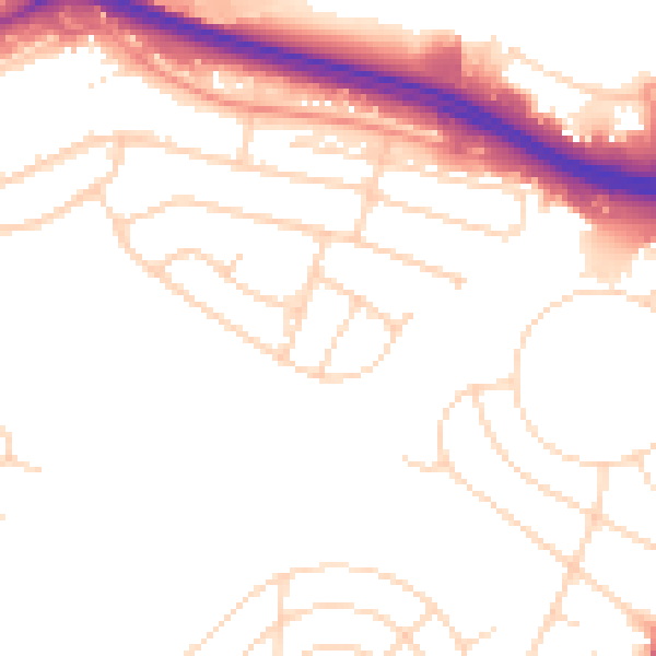
Daytime· 07:00 – 23:00
51.4dB

Night-time· 23:00 – 07:00
43.0dB