19 Carterswood Drive, Nuthall, Nottingham, NG16 1AS
About 19 Carterswood Drive
19 Carterswood Drive is a two-bedroom detached house in Nuthall, Nottingham, Nottingham (NG16 1AS). It has a recorded floor area of 65 m² (around 700 sq ft), construction records dating it to 1976-1982 and council tax band C. The property has solar panels on record, all of which lower running costs and tend to lift resale appeal. The latest certificate (November 2018) shows a C (score 71). The recommended improvements would push it to B (score 90).
Today's modelled estimate of £254,000 sits 51.6% above the 2019 sale of £167,500. On a £-per-square-foot basis, the last sale (£239/sq ft) was about 21.8% above the typical sold price in the postcode. Its energy rating outperforms most of the postcode (better than 86% of similar EPCs). Sold September 2019 for £167,500.
Know exactly what you're buying at 19 Carterswood Drive
Before you offer, see what the listing won't tell you, the true value, the red flags and the full history.
Valuation
against the asking price
Risks
planning & flood
Sold prices
similar homes nearby
Trends
the local market
What this property has
Inside
- Bedrooms2
- Bathrooms1
- EnsuiteYes
Outside
- Private gardenRear
- GarageYes
Building
- Central heatingYes
- Solar panelsYes
- RefurbishedYes
Energy performance
EPC Rating
Planning history
19 Carterswood Drive has no planning applications on record.
The full report still covers planning activity across the surrounding area.
Sales history & valuation
19 Carterswood Drive valuation sits well clear of the typical sold price in this postcode.
£254,000
Modelled from EPC, postcode comparables.
£167,500
Recorded with HM Land Registry.
Sales timeline
19 September 2019Most recent
£167,500
Median price across the last 5 sales in NG16 1AS: £230,000 (2025–2024).
Nearby sales in NG16 1AS
27 Carterswood Drive, Nuthall, Nottingham, NG16 1AS
Sold Mar 2025
£360,0008 Carterswood Drive, Nuthall, Nottingham, NG16 1AS
Sold Dec 2024
£215,0004 Carterswood Drive, Nuthall, Nottingham, NG16 1AS
Sold Jul 2024
£180,00018 Carterswood Drive, Nuthall, Nottingham, NG16 1AS
Sold Jul 2024
£245,00021 Carterswood Drive, Nuthall, Nottingham, NG16 1AS
Sold May 2024
£230,000
Everything we know about 19 Carterswood Drive, in one report
What it's really worth, what could be wrong, and the planning, sales and area data in full.
- Am I paying too much?
- Is something wrong with it?
- Is the agent's story true?
- Will it hold its value?

Versus other Carterswood Drive homes
19 Carterswood Drive outperforms the street on epc rating by a wide margin.
Price per m²
£2,577
Street avg £2,711
Floor Area
65 m²
Street avg 78 m²
Habitable Rooms
4 rooms
Street avg 4 rooms
CO₂ Emissions
2.4 t/year
Street avg 4.2 t/year
Similar properties nearby
1 Chaworth Avenue, Watnall
NG16 1JB
1 Aldwych Close, Nuthall
NG16 1QH
1 Chilton Drive, Watnall
NG16 1HL
1 Britannia Close, Watnall
NG16 1GN
1 Alandene Avenue, Watnall
NG16 1HH
1 Beryldene Avenue, Watnall
NG16 1HJ
1 Cedarland Crescent, Nuthall
NG16 1AG
1 Blackfriars Close, Nuthall
NG16 1QJ
The neighbourhood at a glance
Rail-style transport is unusually close for this postcode.
Crime
3/mo
Rising year-on-year across the wider district.
Nearest stop
0.3 km
Highfield Drive — bus stop.
Closest school
0.3 km
Horsendale Primary School. 34 schools nearby.
Go deeper on the local area
The full report breaks down crime, transport links, schools and air quality in depth.
Road noise across the postcode
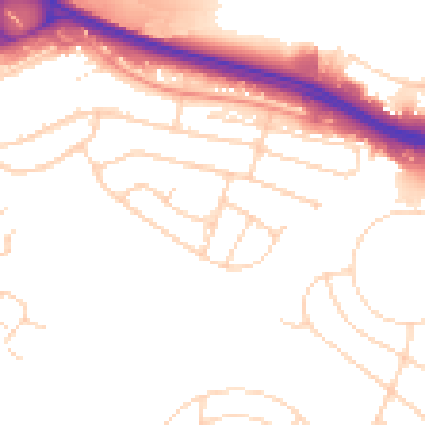
Daytime· 07:00 – 23:00
51.8dB

Night-time· 23:00 – 07:00
43.5dB