17 Carterswood Drive, Nuthall, Nottingham, NG16 1AS
About 17 Carterswood Drive
17 Carterswood Drive is a four-bedroom detached house in Nuthall, Nottingham, Nottingham (NG16 1AS). It has a recorded floor area of 119 m² (around 1281 sq ft), construction records dating it to 1950-1966 and council tax band D. The latest certificate (January 2016) shows an E (score 42), well below the UK norm with real room to improve. The recommended improvements would push it to D (score 66). The latest certificate is from January 2016, so improvements made since then won't be reflected.
At 119 m² the property is well over the postcode median (64 m² across 21 EPCs), placing it in the larger end of the local stock. It lags the bulk of the postcode on energy efficiency (less efficient than 81% of similar EPCs). Across 2006–2018, sale prices on this property compounded at 2.2% per year. Today's modelled estimate of £324,000 sits 60.4% above the 2018 sale of £202,000. On a £-per-square-foot basis, the last sale (£158/sq ft) was about 23.2% below the postcode norm. Last sale on file: £202,000 in October 2018.
Know exactly what you're buying at 17 Carterswood Drive
Before you offer, see what the listing won't tell you, the true value, the red flags and the full history.
Valuation
against the asking price
Risks
planning & flood
Sold prices
similar homes nearby
Trends
the local market
What this property has
Inside
- Bedrooms4
- Bathrooms2
Outside
- Private gardenRear
- GarageYes
Building
- Central heatingYes
Energy performance
17 Carterswood Drive's carbon output runs well above what efficient homes in the postcode produce.
EPC Expired
This certificate is over 10 years old and is no longer valid.Expired 25 Jan 2026
EPC Rating
Planning history
17 Carterswood Drive has no planning applications on record.
The full report still covers planning activity across the surrounding area.
Sales history & valuation
17 Carterswood Drive valuation sits well clear of the typical sold price in this postcode.
£324,000
Modelled from EPC, postcode comparables and a sale-price growth of 2.2% per year over 12 years.
£202,000
Growth on file: 2.2% per year over 12 years.
Sales timeline
30 October 2018Most recent
£202,000
+30.3%over 12 years31 July 2006
£155,000
Median price across the last 5 sales in NG16 1AS: £230,000 (2025–2024).
Nearby sales in NG16 1AS
27 Carterswood Drive, Nuthall, Nottingham, NG16 1AS
Sold Mar 2025
£360,0008 Carterswood Drive, Nuthall, Nottingham, NG16 1AS
Sold Dec 2024
£215,0004 Carterswood Drive, Nuthall, Nottingham, NG16 1AS
Sold Jul 2024
£180,00018 Carterswood Drive, Nuthall, Nottingham, NG16 1AS
Sold Jul 2024
£245,00021 Carterswood Drive, Nuthall, Nottingham, NG16 1AS
Sold May 2024
£230,000
Everything we know about 17 Carterswood Drive, in one report
What it's really worth, what could be wrong, and the planning, sales and area data in full.
- Am I paying too much?
- Is something wrong with it?
- Is the agent's story true?
- Will it hold its value?

Versus other Carterswood Drive homes
17 Carterswood Drive is notably below the street on epc rating.
Price per m²
£1,697
Street avg £2,759
Floor Area
119 m²
Street avg 76 m²
Habitable Rooms
5 rooms
Street avg 4 rooms
CO₂ Emissions
8.3 t/year
Street avg 4.0 t/year
Similar properties nearby
1 Burnt Oak Close, Nuthall
NG16 1QR
1 Bishopdale Drive, Watnall
NG16 1LE
1 Blackfriars Close, Nuthall
NG16 1QJ
1 Alandene Avenue, Watnall
NG16 1HH
1 Chigwell Close, Nuthall
NG16 1QL
1 Britannia Close, Watnall
NG16 1GN
1 Canterbury Close, Nuthall
NG16 1PU
1 Beryldene Avenue, Watnall
NG16 1HJ
The neighbourhood at a glance
Rail-style transport is unusually close for this postcode.
Crime
3/mo
Rising year-on-year across the wider district.
Nearest stop
0.3 km
Highfield Drive — bus stop.
Closest school
0.3 km
Horsendale Primary School. 34 schools nearby.
Go deeper on the local area
The full report breaks down crime, transport links, schools and air quality in depth.
Road noise across the postcode
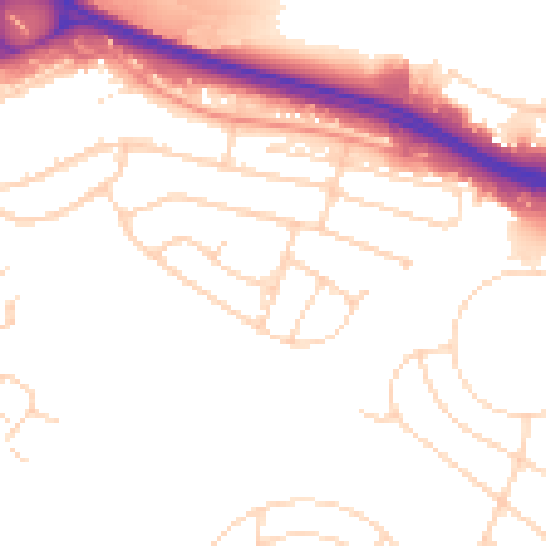
Daytime· 07:00 – 23:00
51.8dB

Night-time· 23:00 – 07:00
43.5dB