11 Carterswood Drive, Nuthall, Nottingham, NG16 1AS
About 11 Carterswood Drive
11 Carterswood Drive is a four-bedroom detached house in Nuthall, Nottingham, Nottingham (NG16 1AS). It has a recorded floor area of 123 m² (around 1324 sq ft), construction records dating it to 1967-1975 and council tax band D. The latest certificate (January 2019) shows a D (score 67), on the cusp of jumping into the C band. The recommended improvements would lift it to B (score 81), a 2-band jump. Records show the property has been extended at some point in its history.
At 123 m² the property is well over the postcode median (64 m² across 21 EPCs), placing it in the larger end of the local stock. Last sale on file: £420,000 in November 2022. Across the public record there are 4 sales, relatively high churn for a single property. That sale was during the post-pandemic price surge, when transactions cleared materially above pre-2020 trend. Across 1998–2022, sale prices on this property compounded at 7.2% per year. On a £-per-square-foot basis, the last sale (£317/sq ft) was about 58.3% above the typical sold price in the postcode. 2 planning records sit against the property, 0 approved, 0 refused.
Know exactly what you're buying at 11 Carterswood Drive
Before you offer, see what the listing won't tell you, the true value, the red flags and the full history.
Valuation
against the asking price
Risks
planning & flood
Sold prices
similar homes nearby
Trends
the local market
What this property has
Inside
- Bedrooms4
- Bathrooms2
- Dining roomYes
- Utility roomYes
Building
- Previously extendedYes
- RefurbishedYes
Energy performance
Recommended upgrades on file would lift this property by multiple EPC bands.
EPC Rating
Planning history
Multiple extension applications run across more than a decade of planning history at 11 Carterswood Drive.
- Jul 2020ExtensionFullIn report
Extension: Single storey · Rear of property
Construct single storey rear extension
- Agent
- VENTURE architectural
- Documents
- 4 docs on file
- Reference
- 20/00335/FUL
- Dec 2005
What's in 11 Carterswood Drive, Nuthall, Nottingham, NG16 1AS's planning history?
Refusals, disputes and full decisions on this property and nearby, in the report.
Sales history & valuation
Latest sale on 11 Carterswood Drive was the highest on Land Registry record across the postcode.
£420,000
Modelled from EPC, postcode comparables and a sale-price growth of 7.2% per year over 24 years.
£420,000
Growth on file: 7.2% per year over 24 years.
Sales timeline
25 November 2022Most recent
£420,000
+46.3%over 3 years8 October 2019
£287,000
+97.9%over 16 years13 December 2002
£145,000
+81.3%over 4 years27 November 1998
£79,995
Median price across the last 5 sales in NG16 1AS: £230,000 (2025–2024).
Nearby sales in NG16 1AS
27 Carterswood Drive, Nuthall, Nottingham, NG16 1AS
Sold Mar 2025
£360,0008 Carterswood Drive, Nuthall, Nottingham, NG16 1AS
Sold Dec 2024
£215,0004 Carterswood Drive, Nuthall, Nottingham, NG16 1AS
Sold Jul 2024
£180,00018 Carterswood Drive, Nuthall, Nottingham, NG16 1AS
Sold Jul 2024
£245,00021 Carterswood Drive, Nuthall, Nottingham, NG16 1AS
Sold May 2024
£230,000
Everything we know about 11 Carterswood Drive, in one report
What it's really worth, what could be wrong, and the planning, sales and area data in full.
- Am I paying too much?
- Is something wrong with it?
- Is the agent's story true?
- Will it hold its value?

Versus other Carterswood Drive homes
On floor area, 11 Carterswood Drive stands well clear of the street.
Price per m²
£3,415
Street avg £2,664
Floor Area
123 m²
Street avg 75 m²
Habitable Rooms
7 rooms
Street avg 4 rooms
CO₂ Emissions
4.9 t/year
Street avg 4.1 t/year
Similar properties nearby
1 Burnt Oak Close, Nuthall
NG16 1QR
1 Bishopdale Drive, Watnall
NG16 1LE
1 Canterbury Close, Nuthall
NG16 1PU
1 Chigwell Close, Nuthall
NG16 1QL
1 Blackfriars Close, Nuthall
NG16 1QJ
1 Alandene Avenue, Watnall
NG16 1HH
1 Britannia Close, Watnall
NG16 1GN
1 Beryldene Avenue, Watnall
NG16 1HJ
The neighbourhood at a glance
Rail-style transport is unusually close for this postcode.
Crime
3/mo
Rising year-on-year across the wider district.
Nearest stop
0.3 km
Highfield Drive — bus stop.
Closest school
0.3 km
Horsendale Primary School. 34 schools nearby.
Go deeper on the local area
The full report breaks down crime, transport links, schools and air quality in depth.
Road noise across the postcode
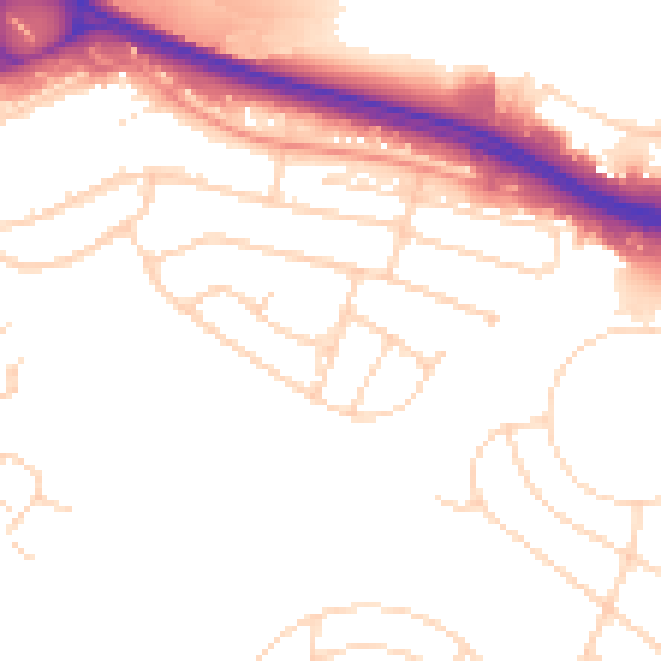
Daytime· 07:00 – 23:00
51.8dB

Night-time· 23:00 – 07:00
43.5dB