17 Cartbridge, Cotgrave, Nottingham, NG12 3PF
About 17 Cartbridge
17 Cartbridge is an end-of-terrace house in Cotgrave, Nottingham, Nottingham (NG12 3PF). It has a recorded floor area of 90 m² (around 969 sq ft), construction records dating it to 1950-1966 and council tax band A. The latest certificate (November 2016) shows a D (score 58), a step below the typical UK home. Earlier certificates rated it B (September 2012); the latest reading is 2 bands lower. Between certificates, roof efficiency dropped from Good to Very Poor and lighting dropped from Poor to Very Poor. The recommended improvements would push it to C (score 77).
Untraded for 25 years, with the last transfer in June 2001. Today's modelled estimate of £200,000 sits 440.5% above the 2001 sale of £37,000. On a £-per-square-foot basis, the last sale (£38/sq ft) was about 61% below the postcode norm.
Everything you need to know about 17 Cartbridge
The true value, the hidden risks and the full sale history, in one report.
30-day money-back guarantee

The data behind every report


Energy performance
EPC Rating
Property Improvements
Changes detected from historical EPC data
Heating controls upgraded for better temperature management
More low energy lighting installed
Solar PV panels (45 kWp) installed
Roof insulation improved
Low energy lighting percentage decreased
Get a survey for this property
Level 2 HomeBuyer Report
We've checked 10 risk factors against the available data for this property and believe a Level 2 HomeBuyer Report could be a suitable option for you.
From £495 · Includes VAT
Planning history
17 Cartbridge has no planning applications on record.
The full report still covers planning activity across the surrounding area.
Sales history & valuation
17 Cartbridge's modelled value sits at over four times its earliest registered sale price (2001).
£200,000
Modelled from EPC, postcode comparables.
£37,000
Recorded with HM Land Registry.
Sales timeline
26 June 2001Most recent
£37,000
Median price across the last 5 sales in NG12 3PF: £173,000 (2025–2020).
Nearby sales in NG12 3PF
1 Cartbridge, Cotgrave, Nottingham, NG12 3PF
Sold Aug 2025
£222,00023 Cartbridge, Cotgrave, Nottingham, NG12 3PF
Sold May 2024
£210,00020 Cartbridge, Cotgrave, Nottingham, NG12 3PF
Sold Jul 2021
£173,00025 Cartbridge, Cotgrave, Nottingham, NG12 3PF
Sold Oct 2020
£155,00018 Cartbridge, Cotgrave, Nottingham, NG12 3PF
Sold Jul 2015
£125,000
Versus other Cartbridge homes
On co₂ emissions, 17 Cartbridge runs well behind the street norm.
Price per m²
£411
Street avg £1,357
Floor Area
90 m²
Street avg 83 m²
Habitable Rooms
5 rooms
Street avg 5 rooms
CO₂ Emissions
4.8 t/year
Street avg 3.1 t/year
Everything you need to know about 17 Cartbridge
The true value, the hidden risks and the full sale history, in one report.
30-day money-back guarantee
The data behind every report
Similar properties nearby
1 Blossom Gardens, Cotgrave
NG12 3UA
1 Bradshaw Close, Kinoulton
NG12 3SE
1 Burhill, Cotgrave
NG12 3NP
1 Bramble Way, Cotgrave
NG12 3NN
1 Barlows Close, Cropwell Bishop
NG12 3FW
1 Cavendish Mews, Daleside, Cotgrave
NG12 3RH
1 Briargate, Cotgrave
NG12 3NT
1 Belle View Cottage, New Road, Colston Bassett
NG12 3FS
The neighbourhood at a glance
Daytime road noise here sits well below conversation level — a quiet pocket of the postcode.
Crime
4/mo
Steady year-on-year across the wider district.
Nearest stop
0.1 km
Little Meadow — bus stop.
Closest school
0.4 km
Cotgrave Candleby Lane School. 2 schools nearby.
Go deeper on the local area
The full report breaks down crime, transport links, schools and air quality in depth.
Road noise across the postcode
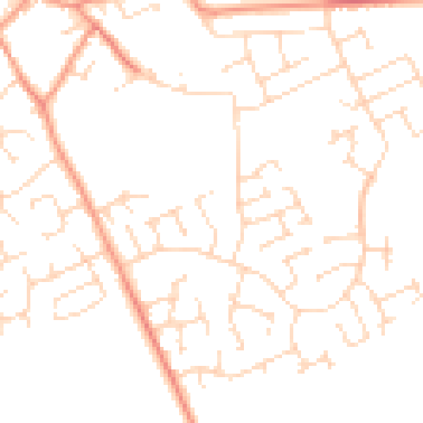
Daytime· 07:00 – 23:00
48.3dB

Night-time· 23:00 – 07:00
37.9dB