12 Frisby Avenue, Long Eaton, Nottingham, NG10 1FL
About 12 Frisby Avenue
12 Frisby Avenue is a property in Long Eaton, Nottingham, Nottingham (NG10 1FL). It has council tax band B.
Untraded for 29 years, with the last transfer in August 1997. Only one transfer is on record with HM Land Registry, suggesting it has stayed in the same hands for a long time.
Know exactly what you're buying at 12 Frisby Avenue
Before you offer, see what the listing won't tell you, the true value, the red flags and the full history.
Already flagged here
Valuation
against the asking price
Risks
planning & flood
Sold prices
similar homes nearby
Trends
the local market
Energy performance
No EPC on record
This property doesn't have an Energy Performance Certificate yet. An EPC is required to sell or let — and unlocks our automated valuation.
Planning history
12 Frisby Avenue has no planning applications on record.
Notable planning nearby
18applications of note in the surrounding area
We flagged 2 things worth checking at 12 Frisby Avenue
Independent checks surfaced things a buyer would want to understand before offering. The report explains each one in full, with the underlying data and what to ask.
- Signs of HMO activity in the area
- Larger development activity nearby
30-day money-back guarantee
Sales history & valuation
Latest sale on 12 Frisby Avenue was the lowest on Land Registry record across the postcode.
£46,750
Recorded with HM Land Registry.
Sales timeline
28 August 1997Most recent
£46,750
Median price across the last 5 sales in NG10 1FL: £172,500 (2025–2017).
Nearby sales in NG10 1FL
6 Frisby Avenue, Long Eaton, Nottingham, NG10 1FL
Sold Mar 2025
£235,0002 Frisby Avenue, Long Eaton, Nottingham, NG10 1FL
Sold Jul 2024
£250,00010 Frisby Avenue, Long Eaton, Nottingham, NG10 1FL
Sold Dec 2020
£172,50016 Frisby Avenue, Long Eaton, Nottingham, NG10 1FL
Sold Aug 2020
£170,0005 Frisby Avenue, Long Eaton, Nottingham, NG10 1FL
Sold Dec 2014
£140,000
Everything we know about 12 Frisby Avenue, in one report
What it's really worth, what could be wrong, and the planning, sales and area data in full.
What we flagged
- Signs of HMO activity in the area
- Larger development activity nearby

Similar properties nearby
1 Abbott Street, Long Eaton
NG10 1DF
1 Acton Close, Long Eaton
NG10 1FZ
1 Acton Road, Long Eaton
NG10 1FR
1 Alexandra Road, Long Eaton
NG10 1LA
1 Bakewell Road, Long Eaton
NG10 1NX
1 Beaconsfield Street, Long Eaton
NG10 1AY
1 Belfield Gardens, Long Eaton
NG10 1HB
1 Belvoir Close, Long Eaton
NG10 1NW
The neighbourhood at a glance
Daytime road noise here sits well below conversation level — a quiet pocket of the postcode.
Crime
6/mo
Steady year-on-year across the wider district.
Nearest stop
0.1 km
Mitchell Street — bus stop.
Closest school
0.3 km
St Laurence CofE Primary School. 15 schools nearby.
Go deeper on the local area
The full report breaks down crime, transport links, schools and air quality in depth.
Road noise across the postcode
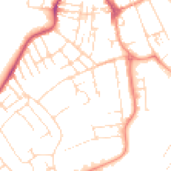
Daytime· 07:00 – 23:00
49.3dB

Night-time· 23:00 – 07:00
38.3dB