8 St Johns Street, Long Eaton, Nottingham, NG10 1BW
About 8 St Johns Street
8 St Johns Street is a property in Long Eaton, Nottingham, Nottingham (NG10 1BW). It has council tax band A.
Energy performance
No EPC on record
This property doesn't have an Energy Performance Certificate yet. An EPC is required to sell or let — and unlocks our automated valuation.
Planning history
No planning applications are recorded against 8 St Johns Street, Long Eaton, Nottingham, NG10 1BW. The full report also covers planning activity across the surrounding area.
Sales history & valuation
No sales recorded with HM Land Registry
That can mean the property has never traded since the registry began publishing in 1995, was a new build that hasn't been registered yet, or is held in the same hands long-term.
Median price across the last 5 sales in NG10 1BW: £220,000 (2025–2024).
Nearby sales in NG10 1BW
22 St Johns Street, Long Eaton, Nottingham, NG10 1BW
Sold Apr 2025
£220,00032 St Johns Street, Long Eaton, Nottingham, NG10 1BW
Sold Nov 2024
£220,00015 St Johns Street, Long Eaton, Nottingham, NG10 1BW
Sold Oct 2024
£220,00049 St Johns Street, Long Eaton, Nottingham, NG10 1BW
Sold May 2024
£170,00030 St Johns Street, Long Eaton, Nottingham, NG10 1BW
Sold May 2024
£168,000
Similar properties nearby
1 Abbott Street, Long Eaton
NG10 1DF
1 Acton Close, Long Eaton
NG10 1FZ
1 Acton Road, Long Eaton
NG10 1FR
1 Alexandra Road, Long Eaton
NG10 1LA
1 Bakewell Road, Long Eaton
NG10 1NX
1 Beaconsfield Street, Long Eaton
NG10 1AY
1 Belfield Gardens, Long Eaton
NG10 1HB
1 Belvoir Close, Long Eaton
NG10 1NW
The neighbourhood at a glance
Daytime road noise here sits well below conversation level — a quiet pocket of the postcode.
Crime
6/mo
Steady year-on-year across the wider district.
Nearest stop
0.1 km
Brooklands Court — bus stop.
Closest school
0.1 km
Brooklands Primary School. 16 schools nearby.
Road noise across the postcode
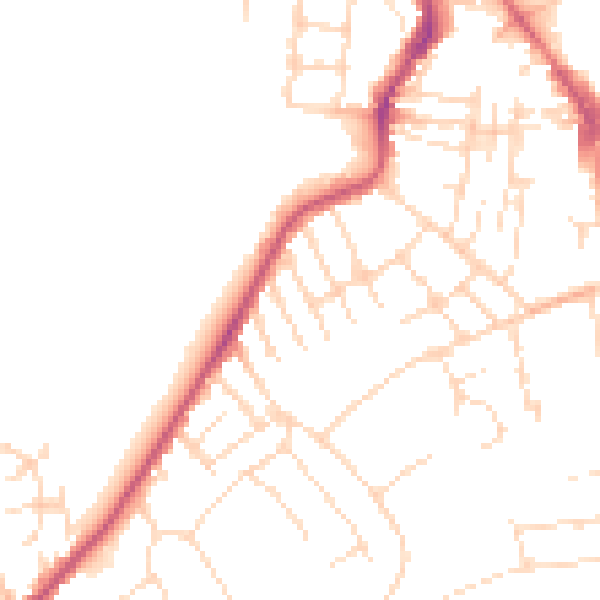
Daytime· 07:00 – 23:00
48.7dB

Night-time· 23:00 – 07:00
38.8dB