27 Colville Street, Nottingham, NG1 4HQ
About 27 Colville Street
27 Colville Street is a mid-terrace house in Nottingham (NG1 4HQ). It has a recorded floor area of 147 m² (around 1582 sq ft), construction records dating it to 1900-1929 and council tax band B. The latest certificate (April 2016) shows an F (score 25), near the bottom of the EPC scale. The rating has held steady at F across 2 certificates since November 2014. Between certificates, window efficiency went from Poor to Average. The recommended improvements would lift it to C (score 70), a 3-band jump. The latest certificate is from April 2016, so improvements made since then won't be reflected.
Untraded for 28 years, with the last transfer in August 1998. Only one transfer is on record with HM Land Registry, suggesting it has stayed in the same hands for a long time. On energy efficiency it sits in the bottom 10% of properties in this postcode — significant headroom for improvement. Today's modelled estimate of £182,000 sits 225% above the 1998 sale of £56,000. On a £-per-square-foot basis, the last sale (£35/sq ft) was about 41% below the postcode norm.
Everything you need to know about 27 Colville Street
The true value, the hidden risks and the full sale history, in one report.
Pick your report · every report is £14.99
One time fee only - money back guarantee

The data behind every report


Energy performance
27 Colville Street sits at the bottom of the postcode for energy efficiency — meaningful headroom to improve.
EPC Expired
This certificate is over 10 years old and is no longer valid.Expired 12 Apr 2026
EPC Rating
Property Improvements
Changes detected from historical EPC data
Heating controls upgraded for better temperature management
Hot water system upgraded
Window efficiency improved
Get a survey for this property
Level 3 Building Survey
Because the property was built before 1919, has been extended more than once, and has solid (non-cavity) walls, we believe a Level 3 building survey should be considered.
From £820 · Includes VAT
Planning history
27 Colville Street has no planning applications on record.
But the area is active
16 notable applications nearby — larger schemes and conversions that could reshape the street. The report maps them all.
Sales history & valuation
27 Colville Street's estimated value is more than triple its earliest registered sale price (1998).
£182,000
Modelled from EPC, postcode comparables.
£56,000
Recorded with HM Land Registry.
Sales timeline
18 August 1998Most recent
£56,000
Median price across the last 5 sales in NG1 4HQ: £252,000 (2018–2015).
Nearby sales in NG1 4HQ
13 Colville Street, Nottingham, NG1 4HQ
Sold Sept 2018
£280,00014a, Colville Street, Nottingham, NG1 4HQ
Sold Jul 2018
£168,00025 Colville Street, Nottingham, NG1 4HQ
Sold Nov 2016
£252,00030 Colville Street, Nottingham, NG1 4HQ
Sold Jul 2015
£310,00011 Colville Street, Nottingham, NG1 4HQ
Sold May 2015
£200,000
Versus other Colville Street homes
27 Colville Street is notably below the street on epc rating.
Price per m²
£381
Street avg £1,069
Floor Area
147 m²
Street avg 155 m²
Habitable Rooms
8 rooms
Street avg 6 rooms
CO₂ Emissions
13.0 t/year
Street avg 7.0 t/year
Everything you need to know about 27 Colville Street
The true value, the hidden risks and the full sale history, in one report.
Pick your report · every report is £14.99
One time fee only - money back guarantee
The data behind every report
Similar properties nearby
The neighbourhood at a glance
Rail-style transport is unusually close for this postcode.
Crime
39/mo
Rising year-on-year across the wider district.
Nearest stop
0.2 km
Forest Road — bus stop.
Closest school
0.6 km
Huntingdon Academy. 41 schools nearby.
Go deeper on the local area
A Local Area report breaks down crime, transport links, schools and air quality in depth.
Road noise across the postcode
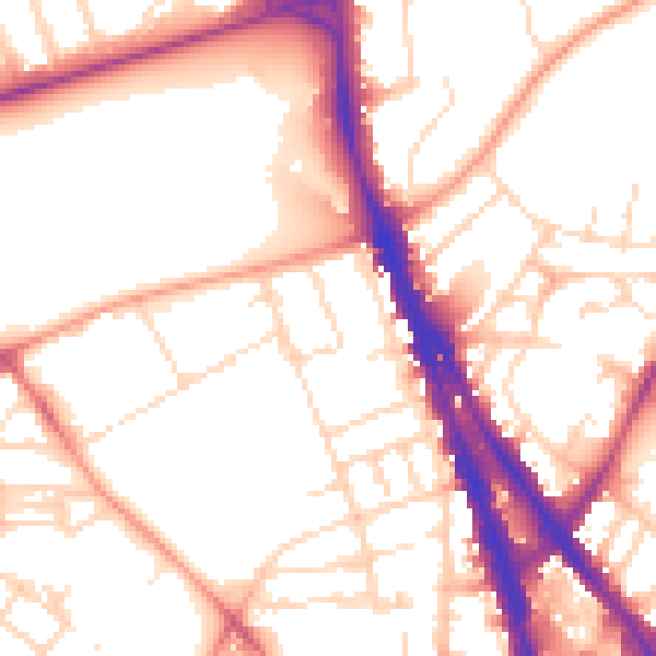
Daytime· 07:00 – 23:00
53.9dB
Night-time· 23:00 – 07:00
43.6dB