25 Dundas Close, Nottingham, NG1 4EX
About 25 Dundas Close
25 Dundas Close is a mid-terrace house in Nottingham (NG1 4EX). It has a recorded floor area of 66 m² (around 710 sq ft), construction records dating it to 1976-1982 and council tax band A. At 66 m² this is the 26th smallest of 34 units on EPC record in the building, where floor areas span 43–78 m². On EPC score it ranks first in the building (79 versus a worst of 70). The latest certificate (May 2024) shows a C (score 79), near the top of the C band. The rating has held steady at C across 3 certificates since May 2012. Between certificates, window efficiency dropped from Good to Average. The recommended improvements would push it to B (score 82).
Across 2014–2023, sale prices on this property compounded at 21.8% per year. Today's modelled estimate of £142,000 is 13.9% below the 2023 sale of £165,000, an unusual pattern given regional price growth and worth checking against the EPC condition. At 66 m² the property is well over the postcode median (46 m² across 33 EPCs), placing it in the larger end of the local stock. Sold February 2023 for £165,000.
Everything you need to know about 25 Dundas Close
The true value, the hidden risks and the full sale history, in one report.
Pick your report · every report is £14.99
One time fee only - money back guarantee

The data behind every report


Energy performance
25 Dundas Close's carbon output is low for the local stock.
EPC Rating
Property Improvements
Changes detected from historical EPC data
Low energy lighting percentage decreased
More low energy lighting installed
Get a survey for this property
Level 2 HomeBuyer Report
We've checked 10 risk factors against the available data for this property and believe a Level 2 HomeBuyer Report could be a suitable option for you.
From £495 · Includes VAT
Planning history
25 Dundas Close has no planning applications on record.
But the area is active
16 notable applications nearby — larger schemes and conversions that could reshape the street. The report maps them all.
Sales history & valuation
Price for 25 Dundas Close has grown more than fourfold since the 2014 starting point.
£142,000
Modelled from EPC, postcode comparables and a sale-price growth of 21.8% per year over 8 years.
£165,000
Growth on file: 21.8% per year over 8 years.
Sales timeline
28 February 2023Most recent
£165,000
+26.9%over 2 years6 August 2020
£130,000
+312.7%over 5 years12 October 2014
£31,500
Median price across the last 4 sales in NG1 4EX: £75,500 (2010–1995).
Versus other Dundas Close homes
EPC Rating for 25 Dundas Close runs comfortably ahead of the street norm.
EPC Rating
79 (C)
Street avg 74 (C)
Floor Area
66 m²
Street avg 54 m²
CO₂ Emissions
1.5 t/year
Street avg 1.7 t/year
Habitable Rooms
3 rooms
Street avg 3 rooms
Everything you need to know about 25 Dundas Close
The true value, the hidden risks and the full sale history, in one report.
Pick your report · every report is £14.99
One time fee only - money back guarantee
The data behind every report
Similar properties nearby
The neighbourhood at a glance
Rail-style transport is unusually close for this postcode.
Crime
39/mo
Rising year-on-year across the wider district.
Nearest stop
0.2 km
Woodborough Road — bus stop.
Closest school
0.5 km
Huntingdon Academy. 47 schools nearby.
Go deeper on the local area
A Local Area report breaks down crime, transport links, schools and air quality in depth.
Road noise across the postcode
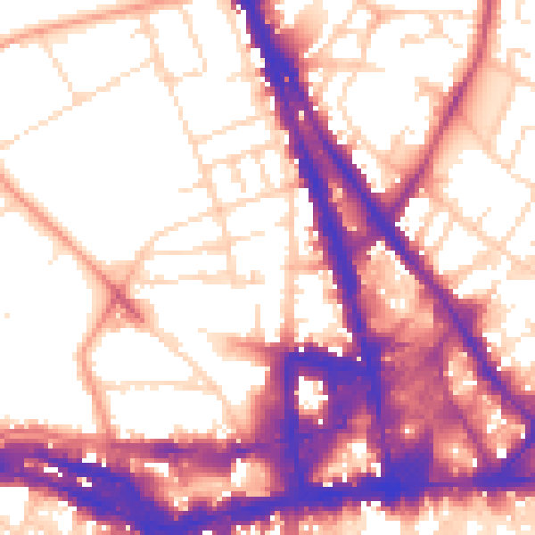
Daytime· 07:00 – 23:00
57.7dB

Night-time· 23:00 – 07:00
48.0dB