Marco Island, Apartment 214, Huntingdon Street, Nottingham, NG1 1AP
About Marco Island
Marco Island is a one-bedroom end-of-terrace house in Nottingham (NG1 1AP). It has a recorded floor area of 50 m² (around 538 sq ft), construction records dating it to 2003-2006 and council tax band B. At 50 m² this is the 74th smallest of 86 units on EPC record in Marco Island, where floor areas span 34–78 m². The building's EPC ratings span D to B, with this unit at the bottom. The latest certificate (January 2019) shows a D (score 66), on the cusp of jumping into the C band. The recommended improvements would lift it to B (score 81), a 2-band jump. Main heating runs on electricity.
It hasn't traded since July 2005, a hold of 21 years that's notably long for the area. At 50 m² it's 19% larger than the typical home in the postcode (42 m² median across 85 EPCs). On energy efficiency it sits in the bottom 10% of properties in this postcode — significant headroom for improvement.
What this property has
Inside
- Bedrooms1
- Dining roomYes
Outside
- ParkingYes
Everything you need to know about Marco Island
The true value, the hidden risks and the full sale history, in one report.
Pick your report · every report is £14.99
One time fee only - money back guarantee

The data behind every report


Energy performance
Marco Island sits at the bottom of the postcode for energy efficiency — meaningful headroom to improve.
EPC Rating
Get a survey for this property
Level 3 Building Survey
Because the property has no mains gas supply, we believe a Level 3 building survey should be considered.
From £820 · Includes VAT
Planning history
Marco Island has no planning applications on record.
But the area is active
14 notable applications nearby — larger schemes and conversions that could reshape the street. The report maps them all.
Sales history & valuation
£105,000
Modelled from EPC, postcode comparables.
£102,000
Recorded with HM Land Registry.
Sales timeline
21 July 2005Most recent
£102,000
Median price across the last 5 sales in NG1 1AP: £87,000 (2025–2023).
Nearby sales in NG1 1AP
Marco Island, Apartment 212, Huntingdon Street, Nottingham, NG1 1AP
Sold Jun 2025
£85,750Marco Island, Apartment 317, Huntingdon Street, Nottingham, NG1 1AP
Sold Jun 2025
£87,000Marco Island, Apartment 315, Huntingdon Street, Nottingham, NG1 1AP
Sold Apr 2025
£70,000Marco Island, Apartment 238, Huntingdon Street, Nottingham, NG1 1AP
Sold Jan 2025
£90,000Marco Island, Apartment 206, Huntingdon Street, Nottingham, NG1 1AP
Sold Aug 2023
£90,000
Versus other Huntingdon Street homes
EPC Rating for Marco Island lags the street by a wide margin.
Price per m²
£2,040
Street avg £2,207
Floor Area
50 m²
Street avg 45 m²
Habitable Rooms
2 rooms
Street avg 2 rooms
CO₂ Emissions
2.1 t/year
Street avg 1.4 t/year
Everything you need to know about Marco Island
The true value, the hidden risks and the full sale history, in one report.
Pick your report · every report is £14.99
One time fee only - money back guarantee
The data behind every report
Similar properties nearby
1a, Apartment 37, Hollowstone
NG1 1JH
11 15, Apartment 2, Warser Gate
NG1 1NU
11 15, Apartment 4, Warser Gate
NG1 1NU
1a, Apartment 24, Hollowstone
NG1 1JH
1a, Apartment 17, Hollowstone
NG1 1JH
1a, Apartment 38, Hollowstone
NG1 1JH
1a, Apartment 20, Hollowstone
NG1 1JH
1a, Apartment 23, Hollowstone
NG1 1JH
The neighbourhood at a glance
Rail-style transport is unusually close for this postcode.
Crime
39/mo
Rising year-on-year across the wider district.
Nearest stop
0.1 km
Cowan Street — bus stop.
Closest school
0.3 km
Nottingham College. 43 schools nearby.
Go deeper on the local area
A Local Area report breaks down crime, transport links, schools and air quality in depth.
Road noise across the postcode
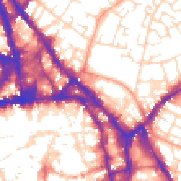
Daytime· 07:00 – 23:00
58.1dB

Night-time· 23:00 – 07:00
48.1dB