1 Abbey View, Morpeth, NE61 1QT
About 1 Abbey View
1 Abbey View is a four-bedroom end-of-terrace house in Morpeth (NE61 1QT). It has a recorded floor area of 173 m² (around 1862 sq ft), construction records dating it to before 1900 and council tax band C. The latest certificate (August 2023) shows a D (score 65), on the cusp of jumping into the C band. The recommended improvements would push it to C (score 78). Period features are noted in the property record.
At 173 m² it's 28.6% larger than the typical home in the postcode (135 m² median across 8 EPCs). Today's modelled estimate of £509,000 is 13.1% above the 2024 sale price. On a £-per-square-foot basis, the last sale (£242/sq ft) was about 42.6% above the typical sold price in the postcode. Most recent transfer: May 2024 at £450,000.
What this property has
Inside
- Bedrooms4
- Bathrooms3
- Dining roomYes
- EnsuiteYes
Outside
- Private gardenYes
Building
- Period featuresYes
- RefurbishedYes
Everything you need to know about 1 Abbey View
The true value, the hidden risks and the full sale history, in one report.
30-day money-back guarantee

The data behind every report


Energy performance
1 Abbey View's carbon output runs well above what efficient homes in the postcode produce.
EPC Rating
Planning history
1 Abbey View has no planning applications on record.
Notable planning nearby
1applications of note in the surrounding area
We flagged 1 thing worth checking at 1 Abbey View
Independent checks surfaced things a buyer would want to understand before offering. The report explains each one in full, with the underlying data and what to ask.
- Larger development activity nearby
30-day money-back guarantee
Sales history & valuation
Latest sale on 1 Abbey View was the highest on Land Registry record across the postcode.
£509,000
Modelled from EPC, postcode comparables.
£450,000
Recorded with HM Land Registry.
Sales timeline
1 May 2024Most recent
£450,000
Median price across the last 5 sales in NE61 1QT: £310,000 (2025–2020).
Versus other Abbey View homes
On floor area, 1 Abbey View stands well clear of the street.
Price per m²
£2,601
Street avg £2,635
Floor Area
173 m²
Street avg 126 m²
Habitable Rooms
7 rooms
Street avg 6 rooms
CO₂ Emissions
7.3 t/year
Street avg 5.8 t/year
Everything you need to know about 1 Abbey View
The true value, the hidden risks and the full sale history, in one report.
30-day money-back guarantee
The data behind every report
Similar properties nearby
The neighbourhood at a glance
Rail-style transport is unusually close for this postcode.
Crime
3/mo
Rising year-on-year across the wider district.
Nearest stop
0.2 km
Newgate Street — bus stop.
Closest school
0.1 km
St Roberts Catholic First School, Morpeth. 8 schools nearby.
Go deeper on the local area
The full report breaks down crime, transport links, schools and air quality in depth.
Road noise across the postcode
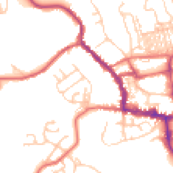
Daytime· 07:00 – 23:00
50.2dB

Night-time· 23:00 – 07:00
40.8dB