46 Burnway, Washington, NE37 1BQ
About 46 Burnway
46 Burnway is a mid-terrace house in Washington (NE37 1BQ). It has a recorded floor area of 47 m² (around 506 sq ft), construction records dating it to 1967-1975 and council tax band A. At 47 m² this is the 2nd smallest of 21 units on EPC record in the building, where floor areas span 46–90 m². The building's EPC ratings span E to C across 21 units on file. The latest certificate (August 2021) shows a D (score 55), a step below the typical UK home. The recommended improvements would push it to C (score 78). Main heating runs on electricity.
It hasn't traded since May 1998, a hold of 28 years that's notably long for the area. Only one transfer is on record with HM Land Registry, suggesting it has stayed in the same hands for a long time. Today's modelled estimate of £112,000 sits 288.9% above the 1998 sale of £28,800. On a £-per-square-foot basis, the last sale (£57/sq ft) was about 46.8% below the postcode norm.
Know exactly what you're buying at 46 Burnway
Before you offer, see what the listing won't tell you, the true value, the red flags and the full history.
Launch offer · save £5
Valuation
against the asking price
Risks
planning & flood
Sold prices
similar homes nearby
Trends
the local market
Energy performance
EPC Rating
Planning history
46 Burnway has no planning applications on record.
The full report still covers planning activity across the surrounding area.
Sales history & valuation
46 Burnway's estimated value is more than triple its earliest registered sale price (1998).
£112,000
Modelled from EPC, postcode comparables.
£28,800
Recorded with HM Land Registry.
Sales timeline
28 May 1998Most recent
£28,800
Median price across the last 5 sales in NE37 1BQ: £71,000 (2023–2023).
Everything we know about 46 Burnway, in one report
What it's really worth, what could be wrong, and the planning, sales and area data in full.
- Am I paying too much?
- Is something wrong with it?
- Is the agent's story true?
- Will it hold its value?

Versus other Burnway homes
46 Burnway is notably below the street on price per m².
Price per m²
£613
Street avg £1,209
Floor Area
47 m²
Street avg 54 m²
Habitable Rooms
3 rooms
Street avg 3 rooms
CO₂ Emissions
3.4 t/year
Street avg 3.1 t/year
Similar properties nearby
The neighbourhood at a glance
Reported crime in the wider district is trending notably upward year-on-year.
Crime
5/mo
Rising year-on-year across the wider district.
Nearest stop
0.1 km
Blue House Lane-Havannah Road — bus stop.
Closest school
0.4 km
Albany Village Primary School. 25 schools nearby.
Go deeper on the local area
The full report breaks down crime, transport links, schools and air quality in depth.
Road noise across the postcode
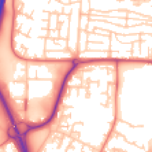
Daytime· 07:00 – 23:00
55.7dB

Night-time· 23:00 – 07:00
45.3dB