16 Davenport Drive, Newcastle Upon Tyne, NE3 5AE
About 16 Davenport Drive
16 Davenport Drive is a three-bedroom semi-detached house in Newcastle Upon Tyne (NE3 5AE). It has a recorded floor area of 90 m² (around 969 sq ft), construction records dating it to 1950-1966 and council tax band D. Tenure is freehold. The latest certificate (March 2024) shows a C (score 69), just inside the C band. The recommended improvements would push it to B (score 83).
Its energy rating outperforms most of the postcode (better than 70% of similar EPCs). Today's modelled estimate of £370,000 is 12.1% above the 2024 sale price. On a £-per-square-foot basis, the last sale (£341/sq ft) was about 47.5% above the typical sold price in the postcode. Most recent transfer: July 2024 at £330,000.
What this property has
Inside
- Bedrooms3
- Bathrooms2
- Utility roomYes
- CloakroomYes
Outside
- GarageYes
Building
- TenureFreehold
Everything you need to know about 16 Davenport Drive
The true value, the hidden risks and the full sale history, in one report.
30-day money-back guarantee

The data behind every report


Energy performance
EPC Rating
Planning history
16 Davenport Drive has no planning applications on record.
The full report still covers planning activity across the surrounding area.
Sales history & valuation
16 Davenport Drive valuation sits well clear of the typical sold price in this postcode.
£370,000
Modelled from EPC, postcode comparables.
£330,000
Recorded with HM Land Registry.
Sales timeline
18 July 2024Most recent
£330,000
Median price across the last 5 sales in NE3 5AE: £310,000 (2024–2020).
Nearby sales in NE3 5AE
11 Davenport Drive, Newcastle Upon Tyne, NE3 5AE
Sold Jul 2024
£310,0005 Davenport Drive, Newcastle Upon Tyne, NE3 5AE
Sold Sept 2022
£365,00015 Davenport Drive, Newcastle Upon Tyne, NE3 5AE
Sold Jun 2022
£306,0009 Davenport Drive, Newcastle Upon Tyne, NE3 5AE
Sold Jan 2022
£432,00023 Davenport Drive, Newcastle Upon Tyne, NE3 5AE
Sold Dec 2020
£270,500
Versus other Davenport Drive homes
16 Davenport Drive outperforms the street on co₂ emissions by a wide margin.
Price per m²
£3,667
Street avg £2,975
Floor Area
90 m²
Street avg 104 m²
Habitable Rooms
5 rooms
Street avg 5 rooms
CO₂ Emissions
3.6 t/year
Street avg 5.5 t/year
Everything you need to know about 16 Davenport Drive
The true value, the hidden risks and the full sale history, in one report.
30-day money-back guarantee
The data behind every report
Similar properties nearby
The neighbourhood at a glance
Crime
6/mo
Steady year-on-year across the wider district.
Nearest stop
0.1 km
Brunton Park Polwarth Drive — bus stop.
Closest school
1.0 km
Gosforth Park First School. 21 schools nearby.
Go deeper on the local area
The full report breaks down crime, transport links, schools and air quality in depth.
Road noise across the postcode
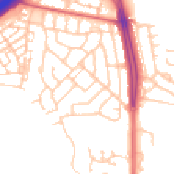
Daytime· 07:00 – 23:00
51.3dB

Night-time· 23:00 – 07:00
41.7dB