17 Burnfoot Way, Newcastle Upon Tyne, NE3 4TL
About 17 Burnfoot Way
17 Burnfoot Way is a mid-terrace house in Newcastle Upon Tyne (NE3 4TL). It has a recorded floor area of 83 m² (around 893 sq ft), construction records dating it to 1950-1966 and council tax band A. The latest certificate (January 2021) shows a C (score 70). The recommended improvements would push it to B (score 85).
One planning record on file: an extension approved in 2010. Past consents include an extension, meaningful when judging how the property has evolved. Today's modelled estimate of £141,000 is 17.5% above the 2021 sale price. On a £-per-square-foot basis, the last sale (£134/sq ft) was about 32.4% above the typical sold price in the postcode. Last sale on file: £120,000 in May 2021. That sale was during the post-pandemic price surge, when transactions cleared materially above pre-2020 trend.
Everything you need to know about 17 Burnfoot Way
The true value, the hidden risks and the full sale history, in one report.
30-day money-back guarantee

The data behind every report


Energy performance
EPC Rating
Planning history
17 Burnfoot Way has an approved single-storey front extension on the planning record.
- Nov 2010ExtensionFullIn report
Extension: Single storey · Front of property
Erection of first floor bedroom extension over existing dining room to front.
- Documents
- 7 docs on file
- Reference
- 2010/1390/01/DET
We flagged 1 thing worth checking at 17 Burnfoot Way
Independent checks surfaced things a buyer would want to understand before offering. The report explains each one in full, with the underlying data and what to ask.
- Larger development activity nearby
30-day money-back guarantee
Sales history & valuation
The latest sale landed in the post-pandemic price surge — useful context when reading the figure.
£141,000
Modelled from EPC, postcode comparables.
£120,000
Recorded with HM Land Registry.
Sales timeline
26 May 2021Most recent
£120,000
Median price across the last 5 sales in NE3 4TL: £95,000 (2024–2016).
Nearby sales in NE3 4TL
21 Burnfoot Way, Newcastle Upon Tyne, NE3 4TL
Sold Jul 2024
£95,00027 Burnfoot Way, Newcastle Upon Tyne, NE3 4TL
Sold Jun 2024
£135,00019 Burnfoot Way, Newcastle Upon Tyne, NE3 4TL
Sold Jan 2017
£55,0009 Burnfoot Way, Newcastle Upon Tyne, NE3 4TL
Sold Mar 2016
£77,00011 Burnfoot Way, Newcastle Upon Tyne, NE3 4TL
Sold Mar 2016
£95,000
Versus other Burnfoot Way homes
Habitable Rooms for 17 Burnfoot Way runs comfortably ahead of the street norm.
Price per m²
£1,446
Street avg £1,185
Floor Area
83 m²
Street avg 86 m²
Habitable Rooms
5 rooms
Street avg 4 rooms
CO₂ Emissions
3.1 t/year
Street avg 3.5 t/year
Everything you need to know about 17 Burnfoot Way
The true value, the hidden risks and the full sale history, in one report.
30-day money-back guarantee
The data behind every report
Similar properties nearby
The neighbourhood at a glance
Crime
6/mo
Steady year-on-year across the wider district.
Nearest stop
0.1 km
Burnfoot Way — bus stop.
Closest school
0.6 km
Kenton School. 36 schools nearby.
Go deeper on the local area
The full report breaks down crime, transport links, schools and air quality in depth.
Road noise across the postcode
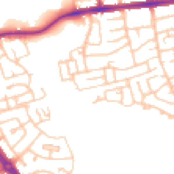
Daytime· 07:00 – 23:00
50.4dB

Night-time· 23:00 – 07:00
40.5dB