1 Brislee Gardens, Newcastle Upon Tyne, NE3 4UR
About 1 Brislee Gardens
1 Brislee Gardens is a semi-detached house in Newcastle Upon Tyne (NE3 4UR). It has a recorded floor area of 93 m² (around 996 sq ft), construction records dating it to 1950-1966 and council tax band A. The latest certificate (June 2011) shows an E (score 50), well below the UK norm with real room to improve. The recommended improvements would lift it to C (score 69), a 2-band jump. The latest certificate is from June 2011, so improvements made since then won't be reflected.
Across 2002–2011, sale prices on this property compounded at 4.9% per year. Today's modelled estimate of £145,000 is 45% above the 2011 sale price. On a £-per-square-foot basis, the last sale (£100/sq ft) was about 16.9% below the postcode norm. Last changed hands 15 years ago, in August 2011.
Everything you need to know about 1 Brislee Gardens
The true value, the hidden risks and the full sale history, in one report.
30-day money-back guarantee

The data behind every report


Energy performance
Recommended upgrades on file would lift this property by multiple EPC bands.
EPC Expired
This certificate is over 10 years old and is no longer valid.Expired 01 Jun 2021
EPC Rating
Planning history
1 Brislee Gardens has no planning applications on record.
Notable planning nearby
1applications of note in the surrounding area
We flagged 1 thing worth checking at 1 Brislee Gardens
Independent checks surfaced things a buyer would want to understand before offering. The report explains each one in full, with the underlying data and what to ask.
- Larger development activity nearby
30-day money-back guarantee
Sales history & valuation
£145,000
Modelled from EPC, postcode comparables and a sale-price growth of 4.9% per year over 9 years.
£100,000
Growth on file: 4.9% per year over 9 years.
Sales timeline
31 August 2011Most recent
£100,000
+52.0%over 8 years1 November 2002
£65,800
Median price across the last 5 sales in NE3 4UR: £117,000 (2025–2014).
Versus other Brislee Gardens homes
On price per m², 1 Brislee Gardens runs well behind the street norm.
Price per m²
£1,080
Street avg £1,497
Floor Area
93 m²
Street avg 87 m²
Habitable Rooms
4 rooms
Street avg 4 rooms
CO₂ Emissions
5.5 t/year
Street avg 3.1 t/year
Everything you need to know about 1 Brislee Gardens
The true value, the hidden risks and the full sale history, in one report.
30-day money-back guarantee
The data behind every report
Similar properties nearby
The neighbourhood at a glance
Crime
6/mo
Steady year-on-year across the wider district.
Nearest stop
0.0 km
Creighton Avenue — bus stop.
Closest school
0.3 km
Kenton School. 32 schools nearby.
Go deeper on the local area
The full report breaks down crime, transport links, schools and air quality in depth.
Road noise across the postcode
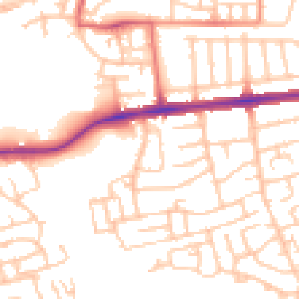
Daytime· 07:00 – 23:00
52.2dB
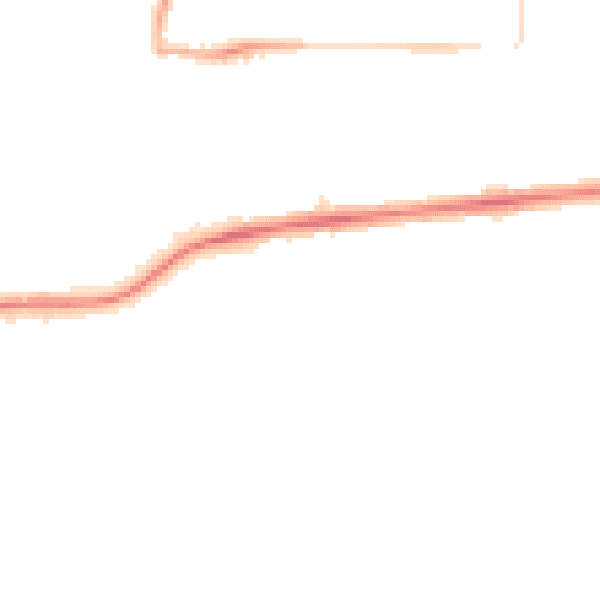
Night-time· 23:00 – 07:00
41.6dB