21 Broomfield Road, Newcastle Upon Tyne, NE3 4HH
About 21 Broomfield Road
21 Broomfield Road is a mid-terrace house in Newcastle Upon Tyne (NE3 4HH). It has a recorded floor area of 63 m² (around 678 sq ft), construction records dating it to 1900-1929 and council tax band A. At 63 m² this is the 16th smallest of 50 units on EPC record in the building, where floor areas span 48–117 m². The building's EPC ratings span E to C across 50 units on file. The latest certificate (November 2024) shows a D (score 67), on the cusp of jumping into the C band. The recommended improvements would push it to C (score 76).
Everything you need to know about 21 Broomfield Road
The true value, the hidden risks and the full sale history, in one report.
30-day money-back guarantee

The data behind every report


Energy performance
EPC Rating
Planning history
21 Broomfield Road has no planning applications on record.
Notable planning nearby
1applications of note in the surrounding area
We flagged 1 thing worth checking at 21 Broomfield Road
Independent checks surfaced things a buyer would want to understand before offering. The report explains each one in full, with the underlying data and what to ask.
- Larger development activity nearby
30-day money-back guarantee
Sales history & valuation
21 Broomfield Road has no Land Registry sales on file, suggesting it has stayed in the same hands since registration began.
£156,000
Modelled from EPC, postcode comparables.
No sales recorded with HM Land Registry
That can mean the property has never traded since the registry began publishing in 1995, was a new build that hasn't been registered yet, or is held in the same hands long-term.
Median price across the last 5 sales in NE3 4HH: £148,000 (2025–2022).
Nearby sales in NE3 4HH
2 Broomfield Road, Newcastle Upon Tyne, NE3 4HH
Sold Sept 2025
£145,00051 Broomfield Road, Newcastle Upon Tyne, NE3 4HH
Sold Mar 2025
£220,00033 Broomfield Road, Newcastle Upon Tyne, NE3 4HH
Sold Mar 2023
£148,00035 Broomfield Road, Newcastle Upon Tyne, NE3 4HH
Sold Mar 2023
£148,00024 Broomfield Road, Newcastle Upon Tyne, NE3 4HH
Sold Dec 2022
£172,500
Versus other Broomfield Road homes
EPC Rating
67 (D)
Street avg 66 (D)
Floor Area
63 m²
Street avg 66 m²
CO₂ Emissions
2.9 t/year
Street avg 3.2 t/year
Habitable Rooms
3 rooms
Street avg 3 rooms
Everything you need to know about 21 Broomfield Road
The true value, the hidden risks and the full sale history, in one report.
30-day money-back guarantee
The data behind every report
Similar properties nearby
The neighbourhood at a glance
Rail-style transport is unusually close for this postcode.
Crime
6/mo
Steady year-on-year across the wider district.
Nearest stop
0.1 km
Salters Road-Jubilee Road — bus stop.
Closest school
0.2 km
Archibald First School. 26 schools nearby.
Go deeper on the local area
The full report breaks down crime, transport links, schools and air quality in depth.
Road noise across the postcode
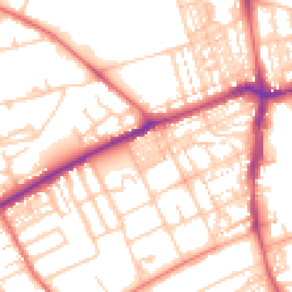
Daytime· 07:00 – 23:00
53.7dB

Night-time· 23:00 – 07:00
42.3dB