2 Bygate Mews, Newcastle Upon Tyne, NE3 4BR
About 2 Bygate Mews
2 Bygate Mews is a semi-detached house in Newcastle Upon Tyne (NE3 4BR). It has a recorded floor area of 51 m² (around 549 sq ft) and council tax band A. The latest certificate (July 2015) returns a B (score 83), comfortably above the UK average. The latest certificate is from July 2015, so improvements made since then won't be reflected. At 51 m² this is the 3rd smallest of 4 units on EPC record in the building, where floor areas span 41–66 m². The building's EPC ratings span C to B, with this unit at the top. On EPC score it ranks first in the building (83 versus a worst of 80).
At 51 m² it's 24.4% larger than the typical home in the postcode (41 m² median across 3 EPCs).
Everything you need to know about 2 Bygate Mews
The true value, the hidden risks and the full sale history, in one report.
30-day money-back guarantee

The data behind every report


Energy performance
2 Bygate Mews's carbon output is low for the local stock.
EPC Expired
This certificate is over 10 years old and is no longer valid.Expired 14 Jul 2025
EPC Rating
Planning history
2 Bygate Mews has no planning applications on record.
Notable planning nearby
1applications of note in the surrounding area
We flagged 1 thing worth checking at 2 Bygate Mews
Independent checks surfaced things a buyer would want to understand before offering. The report explains each one in full, with the underlying data and what to ask.
- Larger development activity nearby
30-day money-back guarantee
Sales history & valuation
2 Bygate Mews has no Land Registry sales on file, suggesting it has stayed in the same hands since registration began.
£124,000
Modelled from EPC, postcode comparables.
No sales recorded with HM Land Registry
That can mean the property has never traded since the registry began publishing in 1995, was a new build that hasn't been registered yet, or is held in the same hands long-term.
Versus other Bygate Mews homes
2 Bygate Mews outperforms the street on epc rating by a wide margin.
EPC Rating
83 (B)
Street avg 81 (B)
Floor Area
51 m²
Street avg 49 m²
CO₂ Emissions
0.9 t/year
Street avg 0.9 t/year
Everything you need to know about 2 Bygate Mews
The true value, the hidden risks and the full sale history, in one report.
30-day money-back guarantee
The data behind every report
Similar properties nearby
The neighbourhood at a glance
Crime
6/mo
Steady year-on-year across the wider district.
Nearest stop
0.2 km
Millfield Avenue — bus stop.
Closest school
0.5 km
Kenton School. 33 schools nearby.
Go deeper on the local area
The full report breaks down crime, transport links, schools and air quality in depth.
Road noise across the postcode
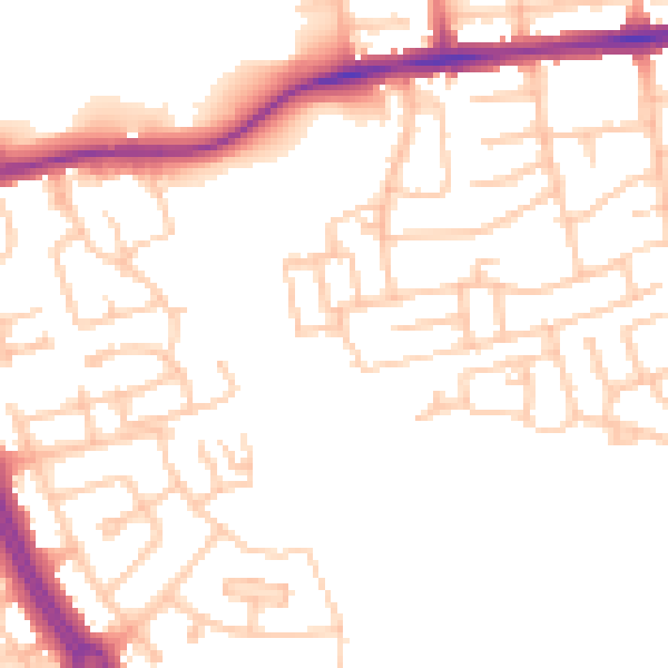
Daytime· 07:00 – 23:00
51.1dB

Night-time· 23:00 – 07:00
41.2dB