11 Bellfield Avenue, Newcastle Upon Tyne, NE3 3NQ
About 11 Bellfield Avenue
11 Bellfield Avenue is a two-bedroom semi-detached house in Newcastle Upon Tyne (NE3 3NQ). It has a recorded floor area of 63 m² (around 678 sq ft), construction records dating it to 1930-1949 and council tax band A. The latest certificate (January 2023) shows a D (score 64), on the cusp of jumping into the C band. The recommended improvements would lift it to B (score 81), a 2-band jump.
Across 1999–2023, sale prices on this property compounded at 4.4% per year. Today's modelled estimate of £158,000 is 26.4% above the 2023 sale price. Most recent transfer: March 2023 at £125,000.
What this property has
Inside
- Bedrooms2
- Bathrooms1
- Dining roomYes
- CloakroomYes
Outside
- Private gardenYes
Building
- RefurbishedYes
Everything you need to know about 11 Bellfield Avenue
The true value, the hidden risks and the full sale history, in one report.
30-day money-back guarantee

The data behind every report


Energy performance
Recommended upgrades on file would lift this property by multiple EPC bands.
EPC Rating
Planning history
11 Bellfield Avenue has no planning applications on record.
Notable planning nearby
1applications of note in the surrounding area
Sales history & valuation
11 Bellfield Avenue has more than doubled in price since the earliest registered sale in 1999.
£158,000
Modelled from EPC, postcode comparables and a sale-price growth of 4.4% per year over 24 years.
£125,000
Growth on file: 4.4% per year over 24 years.
Sales timeline
30 March 2023Most recent
£125,000
+125.2%over 22 years18 December 2000
£55,500
+26.1%over 1 year26 February 1999
£44,000
Median price across the last 5 sales in NE3 3NQ: £143,000 (2025–2022).
Nearby sales in NE3 3NQ
5 Bellfield Avenue, Newcastle Upon Tyne, NE3 3NQ
Sold Oct 2025
£143,00016 Bellfield Avenue, Newcastle Upon Tyne, NE3 3NQ
Sold Aug 2024
£184,0001 Bellfield Avenue, Newcastle Upon Tyne, NE3 3NQ
Sold May 2024
£137,00013 Bellfield Avenue, Newcastle Upon Tyne, NE3 3NQ
Sold Dec 2022
£136,0009 Bellfield Avenue, Newcastle Upon Tyne, NE3 3NQ
Sold Oct 2022
£177,000
Versus other Bellfield Avenue homes
11 Bellfield Avenue outperforms the street on habitable rooms by a wide margin.
Price per m²
£1,984
Street avg £2,043
Floor Area
63 m²
Street avg 63 m²
Habitable Rooms
5 rooms
Street avg 4 rooms
CO₂ Emissions
3.3 t/year
Street avg 3.5 t/year
Everything you need to know about 11 Bellfield Avenue
The true value, the hidden risks and the full sale history, in one report.
30-day money-back guarantee
The data behind every report
Similar properties nearby
The neighbourhood at a glance
Rail-style transport is unusually close for this postcode.
Crime
6/mo
Steady year-on-year across the wider district.
Nearest stop
0.2 km
Jubilee Road-Redesdale Avenue — bus stop.
Closest school
0.4 km
Regent Farm First School. 26 schools nearby.
Go deeper on the local area
The full report breaks down crime, transport links, schools and air quality in depth.
Road noise across the postcode
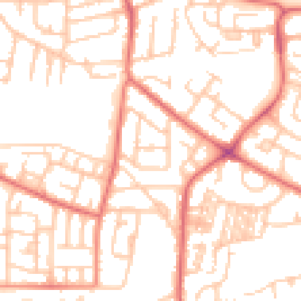
Daytime· 07:00 – 23:00
52.5dB

Night-time· 23:00 – 07:00
40.0dB