19 Ashover Road, Newcastle Upon Tyne, NE3 3GH
About 19 Ashover Road
19 Ashover Road is an end-of-terrace house in Newcastle Upon Tyne (NE3 3GH). It has a recorded floor area of 110 m² (around 1182 sq ft) and council tax band C. The latest certificate (November 2009) returns a B (score 83), comfortably above the UK average. The latest certificate is from November 2009, so improvements made since then won't be reflected.
It hasn't traded since March 2010, a hold of 16 years that's notably long for the area. At 110 m² the property is well over the postcode median (62 m² across 52 EPCs), placing it in the larger end of the local stock. Its energy rating outperforms most of the postcode (better than 83% of similar EPCs). Today's modelled estimate of £184,000 is 12.9% above the 2010 sale price. On a £-per-square-foot basis, the last sale (£138/sq ft) was about 18.4% below the postcode norm.
Everything you need to know about 19 Ashover Road
The true value, the hidden risks and the full sale history, in one report.
30-day money-back guarantee

The data behind every report


Energy performance
19 Ashover Road's EPC is over a decade old — improvements since won't be reflected.
EPC Expired
This certificate is over 10 years old and is no longer valid.Expired 03 Nov 2019
EPC Rating
Planning history
19 Ashover Road has no planning applications on record.
Notable planning nearby
1applications of note in the surrounding area
Sales history & valuation
19 Ashover Road valuation sits well clear of the typical sold price in this postcode.
£184,000
Modelled from EPC, postcode comparables.
£163,000
Recorded with HM Land Registry.
Sales timeline
30 March 2010Most recent
£163,000
Median price across the last 5 sales in NE3 3GH: £115,000 (2025–2024).
Nearby sales in NE3 3GH
52 Ashover Road, Newcastle Upon Tyne, NE3 3GH
Sold Jul 2025
£115,00070 Ashover Road, Newcastle Upon Tyne, NE3 3GH
Sold May 2025
£120,00078 Ashover Road, Newcastle Upon Tyne, NE3 3GH
Sold Dec 2024
£185,00018 Ashover Road, Newcastle Upon Tyne, NE3 3GH
Sold Nov 2024
£105,00062 Ashover Road, Newcastle Upon Tyne, NE3 3GH
Sold Nov 2024
£100,000
Versus other Ashover Road homes
On epc rating, 19 Ashover Road stands well clear of the street.
Price per m²
£1,485
Street avg £1,814
Floor Area
110 m²
Street avg 97 m²
CO₂ Emissions
2.1 t/year
Street avg 2.6 t/year
Years Held
16 years
Street avg 8 years
Everything you need to know about 19 Ashover Road
The true value, the hidden risks and the full sale history, in one report.
30-day money-back guarantee
The data behind every report
Similar properties nearby
The neighbourhood at a glance
Crime
6/mo
Steady year-on-year across the wider district.
Nearest stop
0.1 km
Kenton Lane - Ashover Road — bus stop.
Closest school
0.5 km
Kenton Bar Primary School. 32 schools nearby.
Go deeper on the local area
The full report breaks down crime, transport links, schools and air quality in depth.
Road noise across the postcode
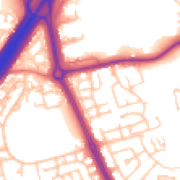
Daytime· 07:00 – 23:00
55.5dB

Night-time· 23:00 – 07:00
45.8dB