11 Beal Way, Newcastle Upon Tyne, NE3 3EY
About 11 Beal Way
11 Beal Way is a three-bedroom end-of-terrace house in Newcastle Upon Tyne (NE3 3EY). It has a recorded floor area of 87 m² (around 936 sq ft) and council tax band A. The latest certificate (November 2009) shows an E (score 42), well below the UK norm with real room to improve. The recommended improvements would lift it to C (score 72), a 2-band jump. The latest certificate is from November 2009, so improvements made since then won't be reflected.
Untraded for 16 years, with the last transfer in January 2010. On energy efficiency it sits in the bottom 10% of properties in this postcode — significant headroom for improvement. Today's modelled estimate of £152,000 is 24.6% above the 2010 sale price. On a £-per-square-foot basis, the last sale (£130/sq ft) was about 21.8% below the postcode norm.
What this property has
Inside
- Bedrooms3
- Dining roomYes
Outside
- Private gardenYes
- GarageIntegral
Building
- Heating systemGas
Everything you need to know about 11 Beal Way
The true value, the hidden risks and the full sale history, in one report.
30-day money-back guarantee

The data behind every report


Energy performance
11 Beal Way sits at the bottom of the postcode for energy efficiency — meaningful headroom to improve.
EPC Expired
This certificate is over 10 years old and is no longer valid.Expired 10 Nov 2019
EPC Rating
Planning history
11 Beal Way has no planning applications on record.
Notable planning nearby
1applications of note in the surrounding area
Sales history & valuation
£152,000
Modelled from EPC, postcode comparables.
£122,000
Recorded with HM Land Registry.
Sales timeline
29 January 2010Most recent
£122,000
Median price across the last 5 sales in NE3 3EY: £180,000 (2025–2021).
Nearby sales in NE3 3EY
52 Beal Way, Newcastle Upon Tyne, NE3 3EY
Sold Mar 2025
£190,00048 Beal Way, Newcastle Upon Tyne, NE3 3EY
Sold Apr 2024
£190,00040 Beal Way, Newcastle Upon Tyne, NE3 3EY
Sold Mar 2022
£155,0009 Beal Way, Newcastle Upon Tyne, NE3 3EY
Sold Jan 2021
£158,00042 Beal Way, Newcastle Upon Tyne, NE3 3EY
Sold Apr 2018
£65,000
Versus other Beal Way homes
EPC Rating for 11 Beal Way lags the street by a wide margin.
Price per m²
£1,402
Street avg £1,875
Floor Area
87 m²
Street avg 81 m²
Habitable Rooms
4 rooms
Street avg 4 rooms
CO₂ Emissions
6.9 t/year
Street avg 3.3 t/year
Everything you need to know about 11 Beal Way
The true value, the hidden risks and the full sale history, in one report.
30-day money-back guarantee
The data behind every report
Similar properties nearby
The neighbourhood at a glance
Rail-style transport is unusually close for this postcode.
Crime
6/mo
Steady year-on-year across the wider district.
Nearest stop
0.1 km
Jubilee Road-Farnon Road — bus stop.
Closest school
0.4 km
Regent Farm First School. 22 schools nearby.
Go deeper on the local area
The full report breaks down crime, transport links, schools and air quality in depth.
Road noise across the postcode
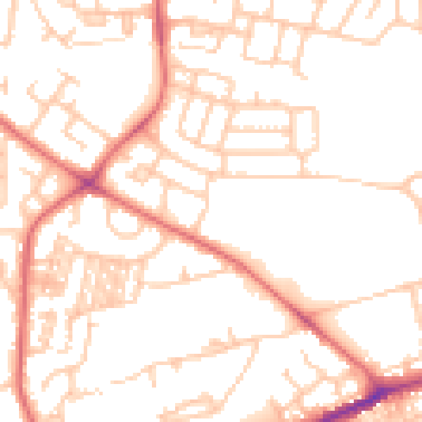
Daytime· 07:00 – 23:00
51.0dB

Night-time· 23:00 – 07:00
39.2dB