4 Brandon Road, Newcastle Upon Tyne, NE3 2PS
About 4 Brandon Road
4 Brandon Road is a semi-detached house in Newcastle Upon Tyne (NE3 2PS). It has a recorded floor area of 68 m² (around 732 sq ft), construction records dating it to 1930-1949 and council tax band B. The latest certificate (March 2014) shows a D (score 67), on the cusp of jumping into the C band. The recommended improvements would lift it to B (score 85), a 2-band jump. The latest certificate is from March 2014, so improvements made since then won't be reflected.
Across 2006–2014, sale prices on this property compounded at -8.1% per year. Today's modelled estimate of £215,000 sits 128.7% above the 2014 sale of £94,000. On the market in July 2014 and unlisted since — roughly 12 years.
Everything you need to know about 4 Brandon Road
The true value, the hidden risks and the full sale history, in one report.
30-day money-back guarantee

The data behind every report


Energy performance
Recommended upgrades on file would lift this property by multiple EPC bands.
EPC Expired
This certificate is over 10 years old and is no longer valid.Expired 14 Mar 2024
EPC Rating
Planning history
4 Brandon Road has no planning applications on record.
The full report still covers planning activity across the surrounding area.
Sales history & valuation
4 Brandon Road valuation sits well clear of the typical sold price in this postcode.
£215,000
Modelled from EPC, postcode comparables and a sale-price growth of -8.1% per year over 8 years.
£94,000
Growth on file: -8.1% per year over 8 years.
Sales timeline
29 July 2014Most recent
£94,000
-49.2%over 7 years2 August 2006
£185,000
Median price across the last 5 sales in NE3 2PS: £125,000 (2023–2019).
Nearby sales in NE3 2PS
11 Brandon Road, Newcastle Upon Tyne, NE3 2PS
Sold Mar 2023
£145,0002 Brandon Road, Newcastle Upon Tyne, NE3 2PS
Sold Nov 2021
£170,0009 Brandon Road, Newcastle Upon Tyne, NE3 2PS
Sold Oct 2019
£110,00017 Brandon Road, Newcastle Upon Tyne, NE3 2PS
Sold Jul 2019
£100,00012 Brandon Road, Newcastle Upon Tyne, NE3 2PS
Sold Nov 2018
£130,000
Versus other Brandon Road homes
On habitable rooms, 4 Brandon Road runs well behind the street norm.
Price per m²
£1,382
Street avg £1,629
Floor Area
68 m²
Street avg 78 m²
Habitable Rooms
3 rooms
Street avg 4 rooms
CO₂ Emissions
3.0 t/year
Street avg 3.9 t/year
Everything you need to know about 4 Brandon Road
The true value, the hidden risks and the full sale history, in one report.
30-day money-back guarantee
The data behind every report
Similar properties nearby
The neighbourhood at a glance
Rail-style transport is unusually close for this postcode.
Crime
6/mo
Steady year-on-year across the wider district.
Nearest stop
0.1 km
Fawdon Park Road-Strathearn Way — bus stop.
Closest school
0.4 km
North Fawdon Primary School. 27 schools nearby.
Go deeper on the local area
The full report breaks down crime, transport links, schools and air quality in depth.
Road noise across the postcode
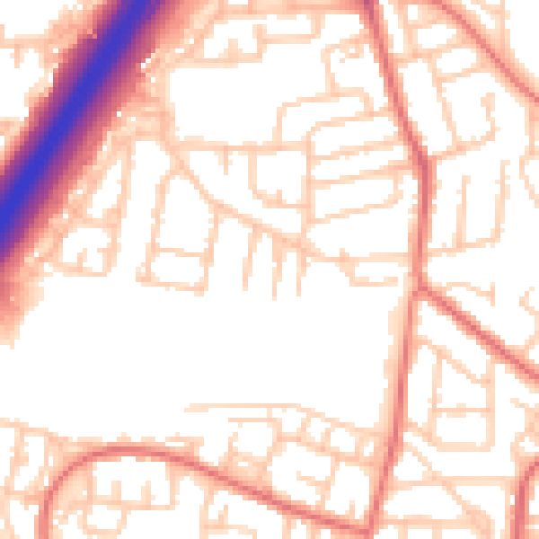
Daytime· 07:00 – 23:00
53.9dB

Night-time· 23:00 – 07:00
42.6dB