6 Aln Crescent, Newcastle Upon Tyne, NE3 2LU
About 6 Aln Crescent
6 Aln Crescent is a three-bedroom mid-terrace house in Newcastle Upon Tyne (NE3 2LU). It has a recorded floor area of 85 m² (around 915 sq ft), construction records dating it to 1950-1966 and council tax band A. Tenure is freehold. The latest certificate (November 2017) shows a D (score 62), on the cusp of jumping into the C band. The recommended improvements would lift it to B (score 85), a 2-band jump.
At 85 m² it's 25.9% larger than the typical home in the postcode (68 m² median across 42 EPCs). Today's modelled estimate of £158,000 is 16.6% above the 2023 sale price. On a £-per-square-foot basis, the last sale (£148/sq ft) was about 37.5% above the typical sold price in the postcode. Last sale on file: £135,500 in November 2023.
What this property has
Inside
- Bedrooms3
- Bathrooms1
- Utility roomYes
Outside
- GarageYes
Building
- TenureFreehold
- RefurbishedYes
Everything you need to know about 6 Aln Crescent
The true value, the hidden risks and the full sale history, in one report.
30-day money-back guarantee

The data behind every report


Energy performance
Recommended upgrades on file would lift this property by multiple EPC bands.
EPC Rating
Planning history
6 Aln Crescent has no planning applications on record.
The full report still covers planning activity across the surrounding area.
Sales history & valuation
6 Aln Crescent valuation sits well clear of the typical sold price in this postcode.
£158,000
Modelled from EPC, postcode comparables.
£135,500
Recorded with HM Land Registry.
Sales timeline
29 November 2023Most recent
£135,500
Median price across the last 5 sales in NE3 2LU: £135,000 (2025–2023).
Nearby sales in NE3 2LU
43 Aln Crescent, Newcastle Upon Tyne, NE3 2LU
Sold Feb 2025
£106,50017 Aln Crescent, Newcastle Upon Tyne, NE3 2LU
Sold Sept 2024
£147,5001 Aln Crescent, Newcastle Upon Tyne, NE3 2LU
Sold Feb 2024
£120,00052 Aln Crescent, Newcastle Upon Tyne, NE3 2LU
Sold Nov 2023
£135,00020 Aln Crescent, Newcastle Upon Tyne, NE3 2LU
Sold Jul 2023
£169,000
Versus other Aln Crescent homes
On years held, 6 Aln Crescent runs well behind the street norm.
Price per m²
£1,594
Street avg £1,457
Floor Area
85 m²
Street avg 79 m²
Habitable Rooms
4 rooms
Street avg 4 rooms
CO₂ Emissions
4.1 t/year
Street avg 3.6 t/year
Everything you need to know about 6 Aln Crescent
The true value, the hidden risks and the full sale history, in one report.
30-day money-back guarantee
The data behind every report
Similar properties nearby
The neighbourhood at a glance
Rail-style transport is unusually close for this postcode.
Crime
6/mo
Steady year-on-year across the wider district.
Nearest stop
0.2 km
Kingston Park Road-Shaftoe Court — bus stop.
Closest school
0.3 km
Regent Farm First School. 22 schools nearby.
Go deeper on the local area
The full report breaks down crime, transport links, schools and air quality in depth.
Road noise across the postcode
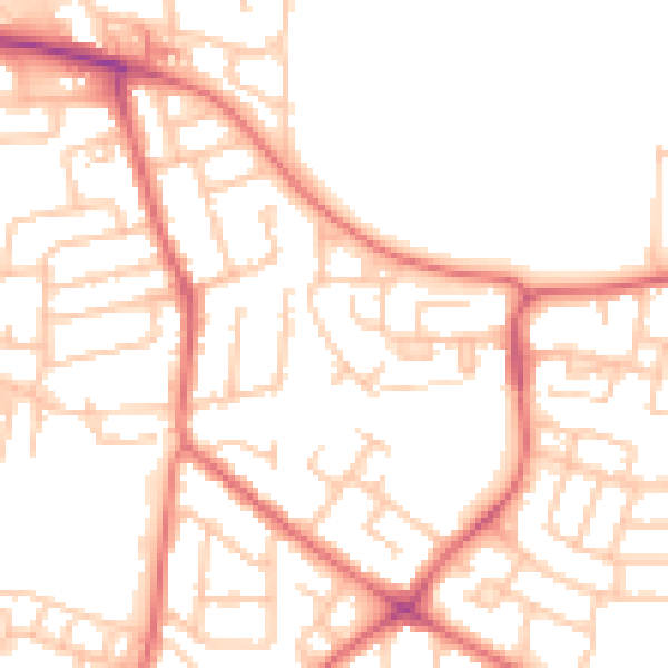
Daytime· 07:00 – 23:00
51.9dB

Night-time· 23:00 – 07:00
40.0dB