20 Acomb Crescent, Newcastle Upon Tyne, NE3 2AY
About 20 Acomb Crescent
20 Acomb Crescent is a semi-detached house in Newcastle Upon Tyne (NE3 2AY). It has a recorded floor area of 82 m² (around 883 sq ft), construction records dating it to 1967-1975 and council tax band C. The latest certificate (November 2018) shows a D (score 64), on the cusp of jumping into the C band. Earlier certificates rated it C (October 2008); the latest reading is one band lower. Between certificates, lighting went from Poor to Good; while wall efficiency dropped from Good to Average and roof efficiency dropped from Good to Very Poor. The recommended improvements would push it to C (score 80).
At 82 m² it's 16.3% larger than the typical home in the postcode (71 m² median across 16 EPCs).
Everything you need to know about 20 Acomb Crescent
The true value, the hidden risks and the full sale history, in one report.
30-day money-back guarantee

The data behind every report


Energy performance
EPC Rating
Property Improvements
Changes detected from historical EPC data
Windows upgraded, improving insulation
More low energy lighting installed
Planning history
20 Acomb Crescent has no planning applications on record.
The full report still covers planning activity across the surrounding area.
Sales history & valuation
20 Acomb Crescent has no Land Registry sales on file, suggesting it has stayed in the same hands since registration began.
£231,000
Modelled from EPC, postcode comparables.
No sales recorded with HM Land Registry
That can mean the property has never traded since the registry began publishing in 1995, was a new build that hasn't been registered yet, or is held in the same hands long-term.
Median price across the last 5 sales in NE3 2AY: £150,000 (2021–2018).
Nearby sales in NE3 2AY
21 Acomb Crescent, Newcastle Upon Tyne, NE3 2AY
Sold Mar 2021
£150,0007 Acomb Crescent, Newcastle Upon Tyne, NE3 2AY
Sold Mar 2021
£160,00028 Acomb Crescent, Newcastle Upon Tyne, NE3 2AY
Sold Feb 2020
£138,0006 Acomb Crescent, Newcastle Upon Tyne, NE3 2AY
Sold Apr 2019
£175,00023 Acomb Crescent, Newcastle Upon Tyne, NE3 2AY
Sold Jul 2018
£120,000
Versus other Acomb Crescent homes
On habitable rooms, 20 Acomb Crescent stands well clear of the street.
EPC Rating
64 (D)
Street avg 63 (D)
Floor Area
82 m²
Street avg 75 m²
CO₂ Emissions
4.0 t/year
Street avg 3.7 t/year
Habitable Rooms
5 rooms
Street avg 4 rooms
Everything you need to know about 20 Acomb Crescent
The true value, the hidden risks and the full sale history, in one report.
30-day money-back guarantee
The data behind every report
Similar properties nearby
The neighbourhood at a glance
Rail-style transport is unusually close for this postcode.
Crime
6/mo
Steady year-on-year across the wider district.
Nearest stop
0.1 km
Kingston Park Road — bus stop.
Closest school
0.4 km
North Fawdon Primary School. 23 schools nearby.
Go deeper on the local area
The full report breaks down crime, transport links, schools and air quality in depth.
Road noise across the postcode
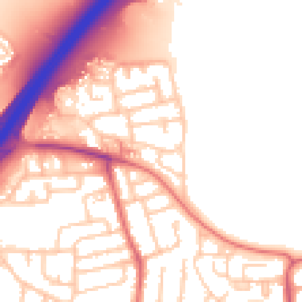
Daytime· 07:00 – 23:00
54.4dB

Night-time· 23:00 – 07:00
44.1dB