Skip to content

33 Hunters Road, Spital Tongues, Newcastle Upon Tyne, NE2 4NB

Estimated value

£185,000

  • Since the 2005 sale (£145,000)+28%
  • Against NE2 4NB's recent median (£165,000)+12%

Newest record on this page: March 2026. Land Registry and EPC registers update monthly, so this page can trail them by 2–3 months.

Learn about this valuation
Property type
Mid terrace
Bedrooms
2
Bathroom
1
Floor area
72 m²
775 sq ft
Energy rating
C
Score 74
Council tax
Band B
Tenure
Private Rental
Get directions (opens in a new tab)
Valuation

About this valuation

How the figure is worked out and what it's based on. If you know this home, you can tell other visitors what you think it's worth.

Our estimate

£185,000

  • Against its 2005 sale (£145,000)+28%
  • Against NE2 4NB's recent median (£165,000)+12%

Your note and figure are shown publicly on this page.

How the estimate is made

The estimate for 33 Hunters Road is modelled from its 72 m² EPC floor area, its 2 recorded sales and recent sales of comparable homes in NE2 4NB. It is an automated estimate, not a survey or mortgage valuation: condition, layout and improvements that aren't on record can move the real figure either way.

What it's based on

  • Floor area

    72 m² from the EPC lodged in June 2021

  • Sales of this home

    2 sales recorded, the latest in 2005

  • Recent sales in NE2 4NB

    5 sales, median £165,000 (2026–2021)

This page or the full report?

DataThis pageFull report
SalesLatest sale shown: March 2026Latest available records, read when you order
ValuationEstimate from the last refreshAnalysed against comparable sales
PlanningNone on this homeFull history, plus nearby schemes
Flood riskNot shownIncluded
Price

Sales history & valuation

Every recorded sale of this home, how its price has moved, and what neighbouring properties have sold for.
Risks

What this page doesn't show

Nothing is flagged from the data on this page, but these checks are only run in the report. The detail, evidence and what to ask about it are in the Risks Report.
  • Flood risk from rivers, sea and surface waterIn report
  • Subsidence and ground-stability signalsIn report
  • Refusals, enforcement and big schemes nearbyIn report

One time fee only - money back guarantee

Overview

About 33 Hunters Road

A plain-English summary derived from public records, EPC certificates, sold prices and local data.

33 Hunters Road is a two-bedroom mid-terrace house in Spital Tongues, Newcastle Upon Tyne, Newcastle Upon Tyne (NE2 4NB). It has a recorded floor area of 72 m² (around 775 sq ft), construction records dating it to 1983-1990 and council tax band B. The latest certificate (June 2021) shows a C (score 74). The rating has held steady at C across 2 certificates since March 2011. Between certificates, roof efficiency went from Average to Good, window efficiency went from Average to Good and lighting went from Very Poor to Very Good. The recommended improvements would push it to B (score 88).

Held since September 2005 — that's 21 years off the open market, well above the local norm. At 72 m² it's 29.7% larger than the typical home in the postcode (56 m² median across 12 EPCs). Across 1997–2005, sale prices on this property compounded at 13.5% per year. Today's modelled estimate of £185,000 is 27.6% above the 2005 sale price.

Specifications

What this property has

Pulled from EPC certificates, claim submissions and our property model. Empty categories are hidden — we only show what's known.

Inside

  • Bedrooms2
  • Bathrooms1
Before you decide

Everything you need to know about 33 Hunters Road

The true value, the hidden risks and the full sale history, in one report.

Pick your report · from £14.99

One time fee only - money back guarantee
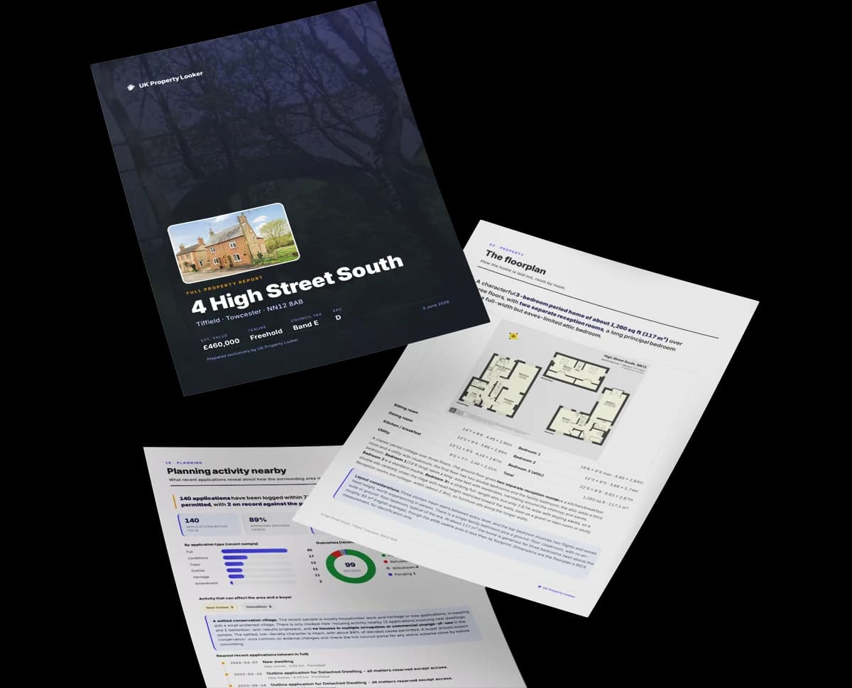
Preview of the full property report

The data behind every report

  • HM Land Registry, source of sold price history
  • Department for Education, source of schools data
  • Police.uk, source of crime statistics
  • Department for Transport, source of stations and transport links
  • Environment Agency, source of flood risk data
  • Department for Environment, Food & Rural Affairs, source of road noise data
  • PlanIt, source of planning application records
Energy

Energy performance

Every EPC certificate filed against this property — current rating, recorded improvements, and where there's headroom to reach a higher band.
Current Certificate(1 of 2)
Jun 2021

EPC Rating

A
B
C
C74
D
E
F
G
Main Heating
Gas
Main Fuel
Gas
Hot Water
Good
Windows
Good
CO2 Emissions
2.3 t/year
Occupancy
Rented

Certificate validity

Valid until 6 June 2031

4 years remaining

Property Improvements

Changes detected from historical EPC data

Jun 2021from Mar 2011
Heating Controls
Prog + StatFull

Heating controls upgraded for better temperature management

Windows
AverageGood

Window efficiency improved

Roof
AverageGood

Roof insulation improved

Low Energy Lighting
0%100%

More low energy lighting installed

Planning

Planning history

Applications and permits filed against 33 Hunters Road, Spital Tongues, Newcastle Upon Tyne, NE2 4NB, sourced from the PlanIt planning register.

33 Hunters Road has no planning applications on record.

2

But the area is active

2 notable applications nearby — larger schemes and conversions that could reshape the street. The report maps them all.

On the street

Versus other Hunters Road homes

Four headline reads against 9 similar houses on this street, drawn from the latest EPC and Land Registry data.

Habitable Rooms for 33 Hunters Road runs comfortably ahead of the street norm.

Price per m²

£2,014

Street avg £2,449

Below

Floor Area

72 m²

Street avg 58 m²

Strongly above

Habitable Rooms

4 rooms

Street avg 3 rooms

Strongly above

CO₂ Emissions

2.3 t/year

Street avg 2.6 t/year

Above
Area

The neighbourhood at a glance

A condensed read of the local area. Each tile links through to the full breakdown on the Newcastle Upon Tyne district page.

Crime

181/mo

Falling year-on-year across the wider district.

Nearest stop

0.1 km

Sheraton Street — bus stop.

Closest school

0.9 km

Moorside Primary School. 33 schools nearby.

Nearest schools

  • Moorside Primary SchoolPrimary883m
  • Westgate Hill Primary AcademyPrimary1.2km
  • Wingrove Primary SchoolPrimary1.4km
  • West Jesmond Primary SchoolPrimary1.6km

Nearest stops

  • Sheraton StreetBus stop53m
  • Hunters Road - Belle Grove WestBus stop88m
  • Hunters RoadBus stop90m
  • Richardson Road-Goldsbrough CourtBus stop241m

Most reported crime locally

  • Anti-social Behaviour671 reports25%
  • Violence & Sexual Offences534 reports20%
  • Shoplifting361 reports13%
  • Other Theft192 reports7%

Go deeper on the local area

A Local Area report breaks down crime, transport links, schools and air quality in depth.
Noise

Road noise across the postcode

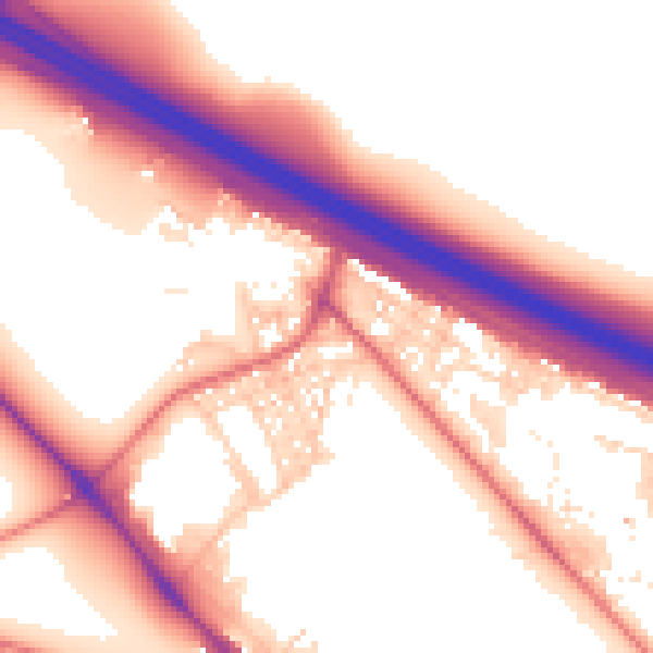
Modelled day and night-time noise levels around NE2 4NB from Defra's strategic mapping. The pin marks this postcode's centroid.
Daytime road noise heatmap for NE2 4NB

Daytime· 07:00 – 23:00

56.4dB

Moderate
Night-time road noise heatmap for NE2 4NB

Night-time· 23:00 – 07:00

47.8dB

Low
55 dB
60 dB
65 dB
70 dB
75 dB
80 dB
Defra Road Noise Strategic Mapping, Round 4
SDL Surveying

Get a survey for this property

Level 2 HomeBuyer Report

Late 20th centuryMid-Terrace HouseEPC C

We've checked 10 risk factors against the available data for this property and believe a Level 2 HomeBuyer Report could be a suitable option for you.

From £495 · Includes VAT

Property research, connected

Get up to date data on unlimited properties per month

Explore sale histories, valuations, energy ratings and local areas. Ask the assistant to connect the details and take your research further.

Start your research
Method

How to read this page

Where every figure above comes from, how current it is and what it can't tell you.
How the estimate is made
The estimate for 33 Hunters Road is modelled from its 72 m² EPC floor area, its 2 recorded sales and recent sales of comparable homes in NE2 4NB. It is an automated estimate, not a survey or mortgage valuation: condition, layout and improvements that aren't on record can move the real figure either way.
Where sold prices come from
Sold prices are HM Land Registry Price Paid Data, which covers residential sales in England and Wales since 1995. 2 sales are recorded for 33 Hunters Road. Sales normally appear two to three months after completion, so the most recent ones take time to show up anywhere.
Reading the EPC
Energy Performance Certificates rate homes from A (most efficient) to G and last 10 years. The latest one for 33 Hunters Road was lodged in June 2021 at band C and is valid until June 2031. 2 certificates are on record, which shows how the home has changed.
Planning records
Planning applications are collected from local authority registers through PlanIt. None is matched to 33 Hunters Road. Councils sometimes file applications under a different address format, and applications on neighbouring land aren't listed here; the report covers both.
Area figures
Crime is police-recorded street-level data over the last 15 months, which places each incident at an approximate point. The 33 schools and 30 stops listed are measured in a straight line from NE2 4NB, not by walking route. Road noise is Defra's strategic noise modelling, averaged across the postcode.
Council tax band
33 Hunters Road is in council tax band B. Bands are set by the Valuation Office Agency from historic values (1 April 1991 in England, 1 April 2003 in Wales), not today's price; the amount you pay depends on the council's rate for the band.
FAQ

Common questions

The questions buyers, sellers and homeowners most often ask about 33 Hunters Road, Spital Tongues, Newcastle Upon Tyne, NE2 4NB. Each answer is also embedded as structured data for search engines.

Know this home? Think our valuation is wrong?

Leave a note for other visitors about work done or anything the records miss, and say what you think it's worth. It takes about two minutes.