62 Beatty Avenue, Newcastle Upon Tyne, NE2 3QN
About 62 Beatty Avenue
62 Beatty Avenue is a four-bedroom semi-detached house in Newcastle Upon Tyne (NE2 3QN). It has a recorded floor area of 131 m² (around 1410 sq ft), construction records dating it to 1930-1949 and council tax band D. The latest certificate (March 2022) shows a C (score 73). When first surveyed in January 2011 the rating was D, the property has climbed 1 band since. Between certificates, roof efficiency went from Very Poor to Good, window efficiency went from Average to Good and lighting went from Average to Very Good; while wall efficiency dropped from Good to Average. The recommended improvements would push it to B (score 82).
A recent sale: £600,000 in October 2025. 5 planning records sit against the property, 4 approved, 1 refused. Past consents include an extension, a porch and partial demolition, meaningful when judging how the property has evolved. Its energy rating outperforms most of the postcode (better than 71% of similar EPCs). Across 2011–2025, sale prices on this property compounded at 5.1% per year. On a £-per-square-foot basis, the last sale (£426/sq ft) was about 101.2% above the typical sold price in the postcode.
Know exactly what you're buying at 62 Beatty Avenue
Before you offer, see what the listing won't tell you, the true value, the red flags and the full history.
Already flagged here
Valuation
against the asking price
Risks
planning & flood
Sold prices
similar homes nearby
Trends
the local market
What this property has
Inside
- Bedrooms4
- Bathrooms1
Energy performance
EPC Rating
Property Improvements
Changes detected from historical EPC data
Heating controls upgraded for better temperature management
Window efficiency improved
Roof insulation improved
More low energy lighting installed
Planning history
Planning history includes recorded demolition works, indicating a major rebuild phase at this address.
- Feb 2026AmendmentIn report
Lawful Development Certificate for proposed dormer extension to rear with hip to gable roof.
- Reference
- 2026/0200/01/LDC
- Nov 2025AmendmentIn report
Lawful Development Certificate for Proposed dormer window extension to rear.
- Reference
- 2025/1854/01/LDC
We flagged 1 thing worth checking at 62 Beatty Avenue
Independent checks surfaced things a buyer would want to understand before offering. The report explains each one in full, with the underlying data and what to ask.
- Signs of HMO activity in the area
30-day money-back guarantee
Sales history & valuation
Latest sale on 62 Beatty Avenue was the highest on Land Registry record across the postcode.
£560,000
Modelled from EPC, postcode comparables and a sale-price growth of 5.1% per year over 14 years.
£600,000
Growth on file: 5.1% per year over 14 years.
Sales timeline
22 October 2025Most recent
£600,000
+2.4%over 3 years24 May 2022
£586,000
+98.6%over 10 years23 June 2011
£295,000
Median price across the last 5 sales in NE2 3QN: £440,000 (2025–2020).
Nearby sales in NE2 3QN
57 Beatty Avenue, Newcastle Upon Tyne, NE2 3QN
Sold Jul 2025
£440,00015 Beatty Avenue, Newcastle Upon Tyne, NE2 3QN
Sold Jun 2025
£585,00058 Beatty Avenue, Newcastle Upon Tyne, NE2 3QN
Sold Jan 2025
£440,00011 Beatty Avenue, Newcastle Upon Tyne, NE2 3QN
Sold Dec 2022
£530,00064 Beatty Avenue, Newcastle Upon Tyne, NE2 3QN
Sold Aug 2020
£382,500
Everything we know about 62 Beatty Avenue, in one report
What it's really worth, what could be wrong, and the planning, sales and area data in full.
What we flagged
- Signs of HMO activity in the area

Versus other Beatty Avenue homes
Price per m² for 62 Beatty Avenue runs comfortably ahead of the street norm.
Price per m²
£4,580
Street avg £2,800
Floor Area
131 m²
Street avg 123 m²
Habitable Rooms
6 rooms
Street avg 7 rooms
CO₂ Emissions
4.0 t/year
Street avg 5.3 t/year
Similar properties nearby
1 Kingswood Avenue
NE2 3NS
1 Mildmay Road
NE2 3DU
1 Brentwood Avenue
NE2 3DH
1 Beatty Avenue
NE2 3QN
1 Crossway, Jesmond
NE2 3QH
1 Highbury
NE2 3BX
1 Little Dene, Lodore Road
NE2 3NZ
1 Castle Farm Mews, Jesmond
NE2 3RG
The neighbourhood at a glance
Rail-style transport is unusually close for this postcode.
Crime
5/mo
Steady year-on-year across the wider district.
Nearest stop
0.1 km
Ilford Road (Tyne and Wear Metro Station) — subway entrance.
Closest school
0.2 km
South Gosforth First School. 29 schools nearby.
Go deeper on the local area
The full report breaks down crime, transport links, schools and air quality in depth.
Road noise across the postcode
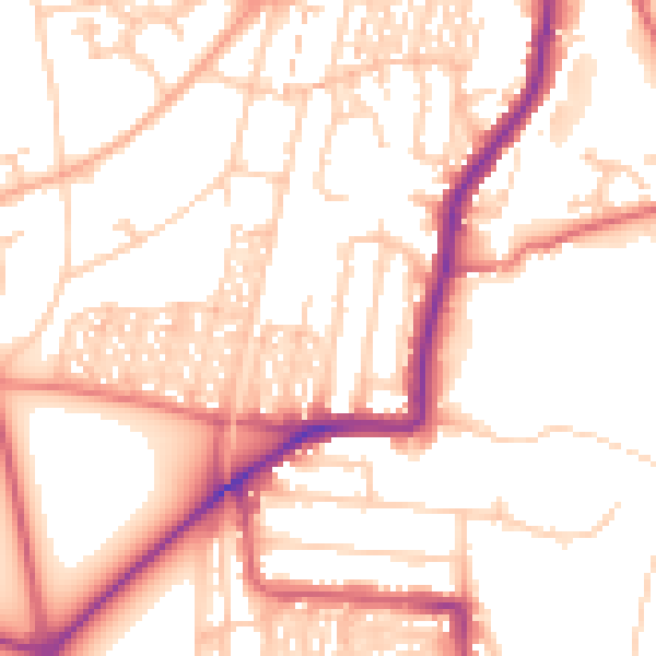
Daytime· 07:00 – 23:00
53.6dB

Night-time· 23:00 – 07:00
43.7dB