8 Ashleigh Grove, West Jesmond, Newcastle Upon Tyne, NE2 3DL
About 8 Ashleigh Grove
8 Ashleigh Grove is a mid-terrace house in West Jesmond, Newcastle Upon Tyne, Newcastle Upon Tyne (NE2 3DL). It has a recorded floor area of 107 m² (around 1152 sq ft), construction records dating it to 1900-1929 and council tax band C. The latest certificate (November 2018) shows a D (score 58), a step below the typical UK home. The rating has held steady at D across 2 certificates since November 2008. Between certificates, wall efficiency went from Very Poor to Poor, window efficiency went from Very Poor to Average and lighting went from Poor to Very Good; while main heating dropped from Very Good to Good. The recommended improvements would push it to C (score 77).
At 107 m² the property is well over the postcode median (74 m² across 42 EPCs), placing it in the larger end of the local stock. Across 2001–2020, sale prices on this property compounded at 2.3% per year. Today's modelled estimate of £387,000 sits 134.5% above the 2020 sale of £165,000. Sold November 2020 for £165,000. Across the public record there are 4 sales, relatively high churn for a single property. One planning record on file: a loft conversion approved in 2001. Past consents include a loft conversion, meaningful when judging how the property has evolved.
Know exactly what you're buying at 8 Ashleigh Grove
Before you offer, see what the listing won't tell you, the true value, the red flags and the full history.
Already flagged here
Valuation
against the asking price
Risks
planning & flood
Sold prices
similar homes nearby
Trends
the local market
Energy performance
8 Ashleigh Grove's carbon output runs well above what efficient homes in the postcode produce.
EPC Rating
Property Improvements
Changes detected from historical EPC data
Single glazing replaced with double or better glazing
Wall insulation improved
More low energy lighting installed
Planning history
- Jul 2001Loft ConversionFullIn report
Installation of rooflights to front & rear to form bedrooms and bathroom in loft space
- Reference
- 2001/0880/01/DET
We flagged 1 thing worth checking at 8 Ashleigh Grove
Independent checks surfaced things a buyer would want to understand before offering. The report explains each one in full, with the underlying data and what to ask.
- Signs of HMO activity in the area
30-day money-back guarantee
Sales history & valuation
8 Ashleigh Grove's estimated value is more than triple its earliest registered sale price (2001).
£387,000
Modelled from EPC, postcode comparables and a sale-price growth of 2.3% per year over 19 years.
£165,000
Growth on file: 2.3% per year over 19 years.
Sales timeline
13 November 2020Most recent
£165,000
-49.5%over 2 years9 August 2018
£326,500
+230.9%over 16 years7 May 2002
£98,675
-6.9%over 10 months19 July 2001
£106,000
Median price across the last 5 sales in NE2 3DL: £231,000 (2024–2023).
Nearby sales in NE2 3DL
82 Ashleigh Grove, West Jesmond, Newcastle Upon Tyne, NE2 3DL
Sold Dec 2024
£233,00074 Ashleigh Grove, West Jesmond, Newcastle Upon Tyne, NE2 3DL
Sold Sept 2024
£191,00050 Ashleigh Grove, West Jesmond, Newcastle Upon Tyne, NE2 3DL
Sold Mar 2024
£188,00024 Ashleigh Grove, West Jesmond, Newcastle Upon Tyne, NE2 3DL
Sold Aug 2023
£340,00058 Ashleigh Grove, West Jesmond, Newcastle Upon Tyne, NE2 3DL
Sold Mar 2023
£231,000
Everything we know about 8 Ashleigh Grove, in one report
What it's really worth, what could be wrong, and the planning, sales and area data in full.
What we flagged
- Signs of HMO activity in the area

Versus other Ashleigh Grove homes
On co₂ emissions, 8 Ashleigh Grove runs well behind the street norm.
Price per m²
£1,542
Street avg £2,192
Floor Area
107 m²
Street avg 84 m²
Habitable Rooms
7 rooms
Street avg 4 rooms
CO₂ Emissions
6.8 t/year
Street avg 3.7 t/year
Similar properties nearby
1 Albemarle Avenue
NE2 3NQ
1 Castle Farm Mews, Jesmond
NE2 3RG
1 Honister Avenue
NE2 3PA
1 Holmwood Grove
NE2 3DS
1 Brentwood Gardens
NE2 3LP
1 Kingswood Avenue
NE2 3NS
1 Beatty Avenue
NE2 3QN
1 Little Dene, Lodore Road
NE2 3NZ
The neighbourhood at a glance
Rail-style transport is unusually close for this postcode.
Crime
5/mo
Steady year-on-year across the wider district.
Nearest stop
0.1 km
West Jesmond (Tyne and Wear Metro Station) — subway entrance.
Closest school
0.2 km
West Jesmond Primary School. 35 schools nearby.
Go deeper on the local area
The full report breaks down crime, transport links, schools and air quality in depth.
Road noise across the postcode
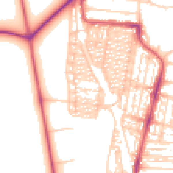
Daytime· 07:00 – 23:00
54.0dB
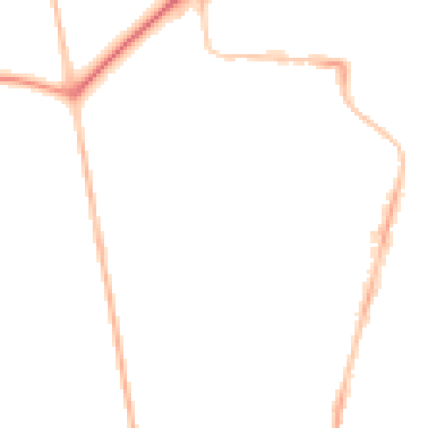
Night-time· 23:00 – 07:00
43.8dB